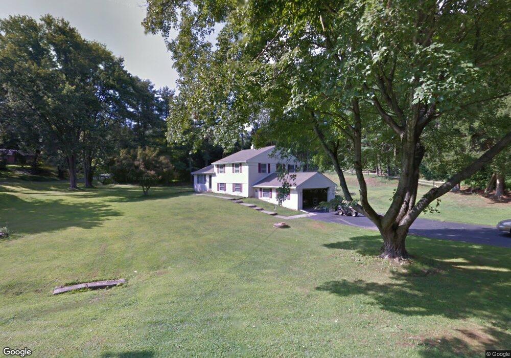
1802 Lenni Dr West Chester, PA 19382
Estimated Value: $543,418 - $664,000
3
Beds
2
Baths
1,764
Sq Ft
$331/Sq Ft
Est. Value
About This Home
This home is located at 1802 Lenni Dr, West Chester, PA 19382 and is currently estimated at $583,355, approximately $330 per square foot. 1802 Lenni Dr is a home located in Chester County with nearby schools including Pocopson Elementary School, Charles F. Patton Middle School, and Unionville High School.
Ownership History
Date
Name
Owned For
Owner Type
Purchase Details
Closed on
Jun 10, 2003
Sold by
Miller Holly L
Bought by
Gumpper Terrence
Current Estimated Value
Home Financials for this Owner
Home Financials are based on the most recent Mortgage that was taken out on this home.
Original Mortgage
$200,000
Outstanding Balance
$84,361
Interest Rate
5.27%
Mortgage Type
Purchase Money Mortgage
Estimated Equity
$498,994
Purchase Details
Closed on
Jul 31, 1997
Sold by
Kester Paul R and Esworthy Lois A
Bought by
Miller Holly L
Home Financials for this Owner
Home Financials are based on the most recent Mortgage that was taken out on this home.
Original Mortgage
$132,200
Interest Rate
7.55%
Create a Home Valuation Report for This Property
The Home Valuation Report is an in-depth analysis detailing your home's value as well as a comparison with similar homes in the area
Home Values in the Area
Average Home Value in this Area
Purchase History
| Date | Buyer | Sale Price | Title Company |
|---|---|---|---|
| Gumpper Terrence | $270,000 | -- | |
| Miller Holly L | $165,250 | -- |
Source: Public Records
Mortgage History
| Date | Status | Borrower | Loan Amount |
|---|---|---|---|
| Open | Gumpper Terrence | $200,000 | |
| Previous Owner | Miller Holly L | $132,200 |
Source: Public Records
Tax History Compared to Growth
Tax History
| Year | Tax Paid | Tax Assessment Tax Assessment Total Assessment is a certain percentage of the fair market value that is determined by local assessors to be the total taxable value of land and additions on the property. | Land | Improvement |
|---|---|---|---|---|
| 2025 | $5,830 | $150,630 | $34,850 | $115,780 |
| 2024 | $5,830 | $150,630 | $34,850 | $115,780 |
| 2023 | $5,646 | $150,630 | $34,850 | $115,780 |
| 2022 | $5,530 | $150,630 | $34,850 | $115,780 |
| 2021 | $5,396 | $150,630 | $34,850 | $115,780 |
| 2020 | $5,382 | $150,630 | $34,850 | $115,780 |
| 2019 | $5,284 | $150,630 | $34,850 | $115,780 |
| 2018 | $5,269 | $150,630 | $34,850 | $115,780 |
| 2017 | $5,160 | $150,630 | $34,850 | $115,780 |
| 2016 | $597 | $150,630 | $34,850 | $115,780 |
| 2015 | $597 | $150,630 | $34,850 | $115,780 |
| 2014 | $597 | $150,630 | $34,850 | $115,780 |
Source: Public Records
Map
Nearby Homes
- 7 Bittersweet Dr
- 1435 Lenape Rd
- 1740 Lenape Rd
- 4 Sloan Rd
- 2005 W Street Rd
- 30 Penn Dr
- 523 Radek Ct
- 1936 Lenape Rd
- 275 S Creek Rd
- 741 Haines Mill Rd
- 0 Haines Mill Rd
- 1315 Lenape Rd
- 1303 Lenape Rd
- 1314 Bridge Rd
- 1125 Mews Ln Unit 16
- 1107 Mews Ln Unit 7
- 361 Quail Run Ln
- 1185 W Street Rd
- 2039-2035 Lenape Unionville Rd
- 1342 Carolannes Way
- 1600 Lenni Dr
- 1801 Lenni Dr
- 582 Clearview Rd
- 575 Clearview Rd
- 572 Clearview Rd
- 1774 Lenni Dr
- 1608 Lenni Dr
- 1621 Lenape Rd
- 562 Clearview Rd
- 1765 Lenni Dr
- 1762 Lenni Dr
- 1617 Lenape Rd
- 1650 Lenni Dr
- 1630 Lenni Dr
- 571 Crestview Dr
- 552 Clearview Rd
- 1620 Lenni Dr
- 1808 Lenni Dr
- 561 Crestview Dr
- 1601 Lenni Dr