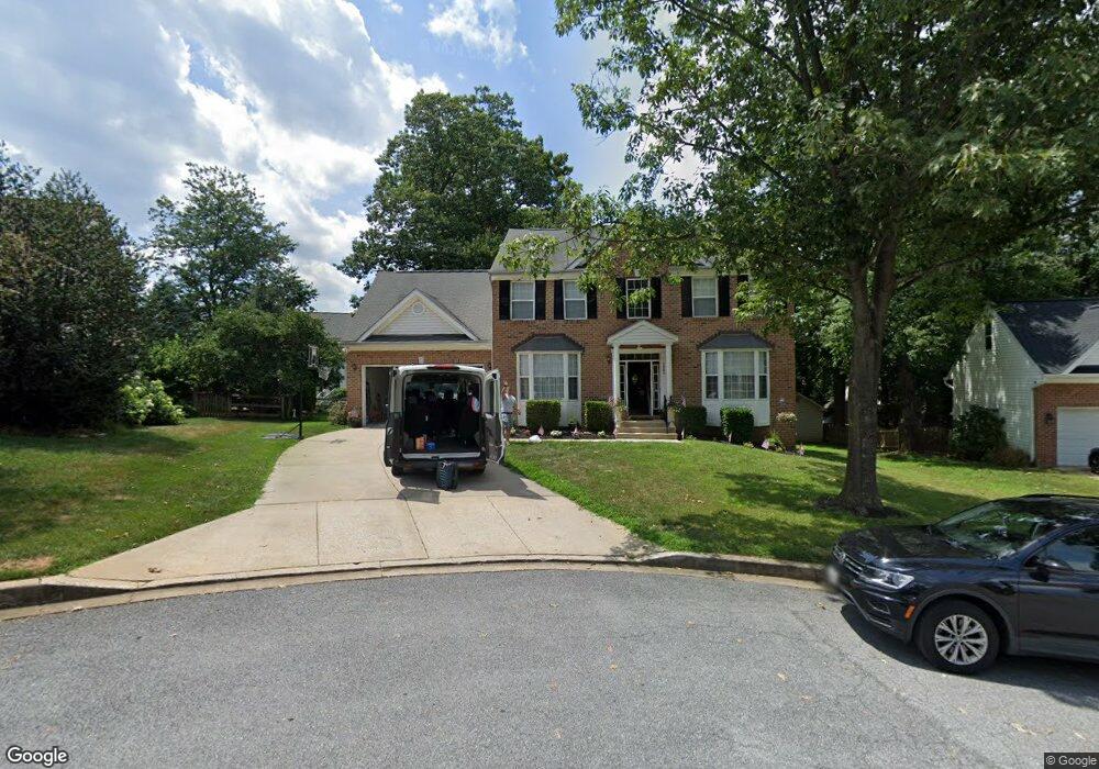
1802 Lower Forty Ln Hampstead, MD 21074
Estimated Value: $506,000 - $551,000
4
Beds
4
Baths
2,468
Sq Ft
$211/Sq Ft
Est. Value
About This Home
This home is located at 1802 Lower Forty Ln, Hampstead, MD 21074 and is currently estimated at $521,903, approximately $211 per square foot. 1802 Lower Forty Ln is a home located in Carroll County with nearby schools including Spring Garden Elementary School, Shiloh Middle School, and Manchester Valley High School.
Ownership History
Date
Name
Owned For
Owner Type
Purchase Details
Closed on
Oct 21, 2011
Sold by
Edwards James J and Edwards Alyce H G
Bought by
Livingston Michael D
Current Estimated Value
Home Financials for this Owner
Home Financials are based on the most recent Mortgage that was taken out on this home.
Original Mortgage
$309,938
Outstanding Balance
$207,789
Interest Rate
3.75%
Mortgage Type
FHA
Estimated Equity
$314,114
Purchase Details
Closed on
Apr 30, 2003
Sold by
Smar Vincent D
Purchase Details
Closed on
Oct 23, 2001
Sold by
Woodhaven Building & Development
Bought by
Smar Vincent D
Create a Home Valuation Report for This Property
The Home Valuation Report is an in-depth analysis detailing your home's value as well as a comparison with similar homes in the area
Home Values in the Area
Average Home Value in this Area
Purchase History
| Date | Buyer | Sale Price | Title Company |
|---|---|---|---|
| Livingston Michael D | $318,000 | Sage Title Group Llc | |
| -- | $292,500 | -- | |
| Edwards James J | $292,500 | -- | |
| Smar Vincent D | $252,170 | -- |
Source: Public Records
Mortgage History
| Date | Status | Borrower | Loan Amount |
|---|---|---|---|
| Open | Livingston Michael D | $309,938 |
Source: Public Records
Tax History
| Year | Tax Paid | Tax Assessment Tax Assessment Total Assessment is a certain percentage of the fair market value that is determined by local assessors to be the total taxable value of land and additions on the property. | Land | Improvement |
|---|---|---|---|---|
| 2025 | $5,400 | $412,700 | $110,000 | $302,700 |
| 2024 | $5,130 | $388,033 | $0 | $0 |
| 2023 | $4,867 | $363,367 | $0 | $0 |
| 2022 | $4,617 | $338,700 | $110,000 | $228,700 |
| 2021 | $9,273 | $332,933 | $0 | $0 |
| 2020 | $4,488 | $327,167 | $0 | $0 |
| 2019 | $3,979 | $321,400 | $110,000 | $211,400 |
| 2018 | $4,268 | $315,933 | $0 | $0 |
| 2017 | $4,231 | $310,467 | $0 | $0 |
| 2016 | -- | $305,000 | $0 | $0 |
| 2015 | -- | $299,467 | $0 | $0 |
| 2014 | -- | $293,933 | $0 | $0 |
Source: Public Records
Map
Nearby Homes
- 4250 Flail Dr
- 4233 Tumbrell Dr
- 1809 Hanover Pike
- 1909 Hanover Pike
- TBD Sommerfield Dr
- TBD Sommerfield Dr Unit (5 ACRES)
- 4211 S Hunter Rd
- 1421 N Main St
- 0 Hanover Pike Unit MDCR2024542
- 2461 Fairmount Rd
- 4210 Upper Beckleysville Rd
- 3815 Sunnyfield Ct Unit 2C
- 3815 Sunnyfield Ct Unit 3D
- 4138 Hillcrest Ave
- 0 Dave Rill Rd
- 1151 Caton Rd
- 1148 Gypsum Dr
- 4579 Dave Rill Rd
- 3830 Normandy Dr Unit 3A
- 3820 Normandy Dr Unit 2A
- 1792 Lower Forty Dr
- 1804 Lower Forty Ln
- 4233 Harness Dr
- 4242 Barn Raisers Ct
- 4232 Harness Dr
- 4243 Barn Raisers Ct
- 1790 Lower Forty Dr
- 1867 Upper Forde Ln
- 1791 Lower Forty Dr
- 4231 Harness Dr
- 4019 Share Cropper Rd
- 1803 Lower Forty Ln
- 4240 Barn Raisers Ct
- 4252 Flail Dr
- 4230 Harness Dr
- 4017 Share Cropper Rd
- 4017 Sharecropper Dr
- 4241 Barn Raisers Ct
- 1788 Lower Forty Dr
- 1789 Lower Forty Dr
Your Personal Tour Guide
Ask me questions while you tour the home.