1803&11 Delsea Dr Woodbury, NJ 08096
Deptford Township Neighborhood
--
Bed
--
Bath
--
Sq Ft
23.4
Acres
About This Home
This home is located at 1803&11 Delsea Dr, Woodbury, NJ 08096. 1803&11 Delsea Dr is a home located in Gloucester County with nearby schools including Deptford Township High School and Holy Angels Catholic School.
Ownership History
Date
Name
Owned For
Owner Type
Purchase Details
Closed on
Aug 25, 2022
Sold by
Laute and Tanya
Bought by
Flamingo Holdings Llc
Purchase Details
Closed on
Jan 30, 2015
Sold by
Mcintyre Edward M and Mcintyre Cornelius
Bought by
Laute Robert and Laute Tanya
Home Financials for this Owner
Home Financials are based on the most recent Mortgage that was taken out on this home.
Original Mortgage
$108,000
Interest Rate
3.9%
Mortgage Type
Purchase Money Mortgage
Purchase Details
Closed on
Jun 8, 2010
Sold by
The Estate Of Cornelius Mcintyre Jr
Bought by
Mcintyre Edward M and Mcintyre Cornelius
Purchase Details
Closed on
Jan 3, 2007
Sold by
Mcintyre Anna
Bought by
Mcintyre Cornelius D
Create a Home Valuation Report for This Property
The Home Valuation Report is an in-depth analysis detailing your home's value as well as a comparison with similar homes in the area
Home Values in the Area
Average Home Value in this Area
Purchase History
| Date | Buyer | Sale Price | Title Company |
|---|---|---|---|
| Flamingo Holdings Llc | $107,349 | New Title Company Name | |
| Flamingo Holdings Llc | $107,349 | New Title Company Name | |
| Laute Robert | $110,000 | Homestead Title Agency | |
| Mcintyre Edward M | -- | None Available | |
| Mcintyre Cornelius D | -- | None Available |
Source: Public Records
Mortgage History
| Date | Status | Borrower | Loan Amount |
|---|---|---|---|
| Previous Owner | Laute Robert | $108,000 |
Source: Public Records
Tax History Compared to Growth
Tax History
| Year | Tax Paid | Tax Assessment Tax Assessment Total Assessment is a certain percentage of the fair market value that is determined by local assessors to be the total taxable value of land and additions on the property. | Land | Improvement |
|---|---|---|---|---|
| 2025 | $3,768 | $105,100 | $105,100 | -- |
| 2024 | $3,647 | $105,100 | $105,100 | $0 |
| 2023 | $3,647 | $105,100 | $105,100 | $0 |
| 2022 | $3,621 | $105,100 | $105,100 | $0 |
| 2021 | $3,569 | $105,100 | $105,100 | $0 |
| 2020 | $3,528 | $105,100 | $105,100 | $0 |
| 2019 | $3,461 | $105,100 | $105,100 | $0 |
| 2018 | $3,383 | $105,100 | $105,100 | $0 |
| 2017 | $3,293 | $105,100 | $105,100 | $0 |
| 2016 | $3,226 | $105,100 | $105,100 | $0 |
| 2015 | $3,126 | $105,100 | $105,100 | $0 |
| 2014 | $3,045 | $105,100 | $105,100 | $0 |
Source: Public Records
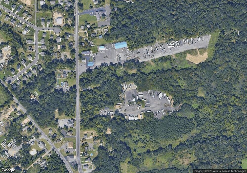
Map
Nearby Homes
- BL 129 LT 8 10-20 Buffalo Ct
- 118 Caribou Ct
- 951 New Jersey Ave
- 1879 Delsea Dr
- 8 Laurel Ct
- 54 Knollwood Dr
- 53 Knollwood Dr
- 1672 Cooper St
- 1111 Monmouth Rd
- 340 Arline Ave
- 1031 Byrd Dr
- 38 Pinecrest Dr
- 1036 Sussex Ave
- 1209 Cooper St
- 470 E Barber Ave
- 31 S Bayard Ave
- 437 E Barber Ave
- 1287 Clements Bridge Rd
- 161 Riggins Blvd
- 106 Shelly Ln
- 705 Dartmouth Dr
- L7.01 Lewis Ave
- L:2 Lawnton Ave
- 005 Hawkins Ln
- 06 Hawkins Ln
- 05 Hawkins Ln
- 0 St Francis Ln Unit 1007516308
- 0 Pear Ln Unit 1007490112
- 0 St Francis Ln Unit 1007489814
- 0000 St Francis Ln
- 00000 St Francis Ln
- 000 St Francis Ln
- 00 St Francis Ln
- Lot 2 Tanyard Rd
- Lot 4&6 Glassboro Rd
- 0 Rodney Ave Unit 1007333228
- 0 Rodney Ave Unit 1007317812
- L108 Tarpy Dr
- Lot 108 Tarpy Dr
- L:16 Byrd Dr