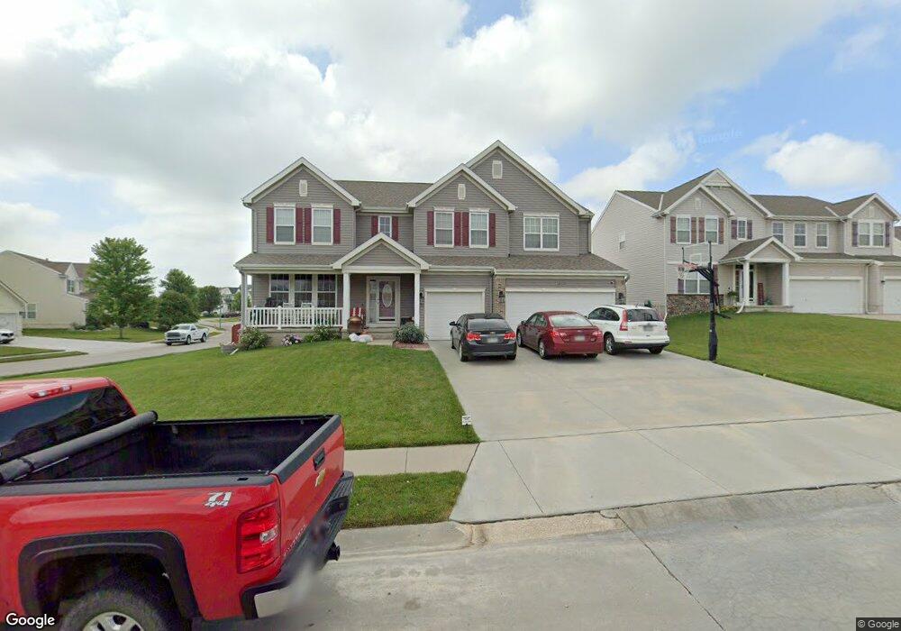
1803 Port Royal Cir Papillion, NE 68046
Estimated Value: $508,940 - $552,000
4
Beds
4
Baths
3,948
Sq Ft
$136/Sq Ft
Est. Value
About This Home
This home is located at 1803 Port Royal Cir, Papillion, NE 68046 and is currently estimated at $535,235, approximately $135 per square foot. 1803 Port Royal Cir is a home located in Sarpy County with nearby schools including Patriot Elementary School, Liberty Middle School, and Papillion La Vista South High School.
Ownership History
Date
Name
Owned For
Owner Type
Purchase Details
Closed on
Oct 23, 2006
Sold by
Hearthstone Homes Inc
Bought by
Enzolera Chris A and Enzolera Keri A
Current Estimated Value
Home Financials for this Owner
Home Financials are based on the most recent Mortgage that was taken out on this home.
Original Mortgage
$300,515
Outstanding Balance
$185,452
Interest Rate
6.41%
Estimated Equity
$349,783
Create a Home Valuation Report for This Property
The Home Valuation Report is an in-depth analysis detailing your home's value as well as a comparison with similar homes in the area
Home Values in the Area
Average Home Value in this Area
Purchase History
| Date | Buyer | Sale Price | Title Company |
|---|---|---|---|
| Enzolera Chris A | $301,000 | Slt |
Source: Public Records
Mortgage History
| Date | Status | Borrower | Loan Amount |
|---|---|---|---|
| Open | Enzolera Chris A | $300,515 |
Source: Public Records
Tax History Compared to Growth
Tax History
| Year | Tax Paid | Tax Assessment Tax Assessment Total Assessment is a certain percentage of the fair market value that is determined by local assessors to be the total taxable value of land and additions on the property. | Land | Improvement |
|---|---|---|---|---|
| 2025 | $7,633 | $472,042 | $62,000 | $410,042 |
| 2024 | $8,671 | $457,167 | $60,000 | $397,167 |
| 2023 | $8,671 | $423,058 | $57,000 | $366,058 |
| 2022 | $8,626 | $394,076 | $52,000 | $342,076 |
| 2021 | $8,013 | $356,334 | $46,000 | $310,334 |
| 2020 | $7,598 | $344,485 | $46,000 | $298,485 |
| 2019 | $7,704 | $353,276 | $44,000 | $309,276 |
| 2018 | $7,705 | $352,037 | $41,000 | $311,037 |
| 2017 | $7,120 | $325,692 | $41,000 | $284,692 |
| 2016 | $6,880 | $314,406 | $33,000 | $281,406 |
| 2015 | $6,835 | $304,462 | $33,000 | $271,462 |
| 2014 | $6,651 | $295,211 | $33,000 | $262,211 |
| 2012 | -- | $291,262 | $33,000 | $258,262 |
Source: Public Records
Map
Nearby Homes
- 2241 Glacier Dr
- 2070 Stillwater Dr
- 2231 Crystal Creek Dr
- 11859 S 105th Ave
- 10506 Flint Dr
- 10502 Flint Dr
- 11855 S 105th Ave
- 11851 S 105th Ave
- 10555 Portage Dr
- 2421 Sand Hills Dr
- 10557 Port Royal Dr
- 10510 Flint Dr
- 10507 Flint Dr
- 10503 Flint Dr
- 10559 Portage Dr
- 10514 Flint Dr
- 10558 Portage Dr
- 10562 Portage Dr
- 10552 Lake Tahoe Dr
- 10563 Portage Dr
- 1805 Port Royal Cir
- 2021 Glacier Dr
- 1807 Port Royal Cir
- 2111 Glacier Dr
- 1804 Portage Dr
- 1802 Port Royal Cir
- 1804 Port Royal Cir
- 1710 Port Royal Dr
- 2110 Sand Hills Dr
- 1709 Port Royal Dr
- 1806 Portage Dr
- 1809 Port Royal Cir
- 1806 Port Royal Cir
- 2121 Glacier Dr
- 1708 Port Royal Dr
- 1808 Portage Dr
- 1808 Port Royal Cir
- 2104 Sunburst Dr
- 2131 Glacier Dr
- 2102 Sunburst Dr