1803 Upper Valley Dr West Jefferson, OH 43162
Estimated Value: $504,680 - $655,000
3
Beds
3
Baths
2,400
Sq Ft
$232/Sq Ft
Est. Value
About This Home
This home is located at 1803 Upper Valley Dr, West Jefferson, OH 43162 and is currently estimated at $556,170, approximately $231 per square foot. 1803 Upper Valley Dr is a home located in Madison County with nearby schools including Norwood Elementary School, West Jefferson Middle School, and West Jefferson High School.
Ownership History
Date
Name
Owned For
Owner Type
Purchase Details
Closed on
May 7, 1999
Sold by
Tapp Thomas N
Bought by
Hogsten Scott L and Hogsten Kelly R
Current Estimated Value
Home Financials for this Owner
Home Financials are based on the most recent Mortgage that was taken out on this home.
Original Mortgage
$149,000
Outstanding Balance
$38,499
Interest Rate
7.04%
Mortgage Type
New Conventional
Estimated Equity
$517,671
Create a Home Valuation Report for This Property
The Home Valuation Report is an in-depth analysis detailing your home's value as well as a comparison with similar homes in the area
Home Values in the Area
Average Home Value in this Area
Purchase History
| Date | Buyer | Sale Price | Title Company |
|---|---|---|---|
| Hogsten Scott L | $249,000 | -- |
Source: Public Records
Mortgage History
| Date | Status | Borrower | Loan Amount |
|---|---|---|---|
| Open | Hogsten Scott L | $149,000 |
Source: Public Records
Tax History Compared to Growth
Tax History
| Year | Tax Paid | Tax Assessment Tax Assessment Total Assessment is a certain percentage of the fair market value that is determined by local assessors to be the total taxable value of land and additions on the property. | Land | Improvement |
|---|---|---|---|---|
| 2024 | $6,561 | $148,040 | $31,640 | $116,400 |
| 2023 | $6,561 | $148,040 | $31,640 | $116,400 |
| 2022 | $5,193 | $109,020 | $23,300 | $85,720 |
| 2021 | $5,215 | $109,020 | $23,300 | $85,720 |
| 2020 | $5,307 | $109,020 | $23,300 | $85,720 |
| 2019 | $4,737 | $95,800 | $22,200 | $73,600 |
| 2018 | $4,406 | $95,800 | $22,200 | $73,600 |
| 2017 | $4,412 | $95,800 | $22,200 | $73,600 |
| 2016 | $3,812 | $81,080 | $22,200 | $58,880 |
| 2015 | $3,802 | $81,080 | $22,200 | $58,880 |
| 2014 | $3,965 | $81,080 | $22,200 | $58,880 |
| 2013 | -- | $90,450 | $17,840 | $72,610 |
Source: Public Records
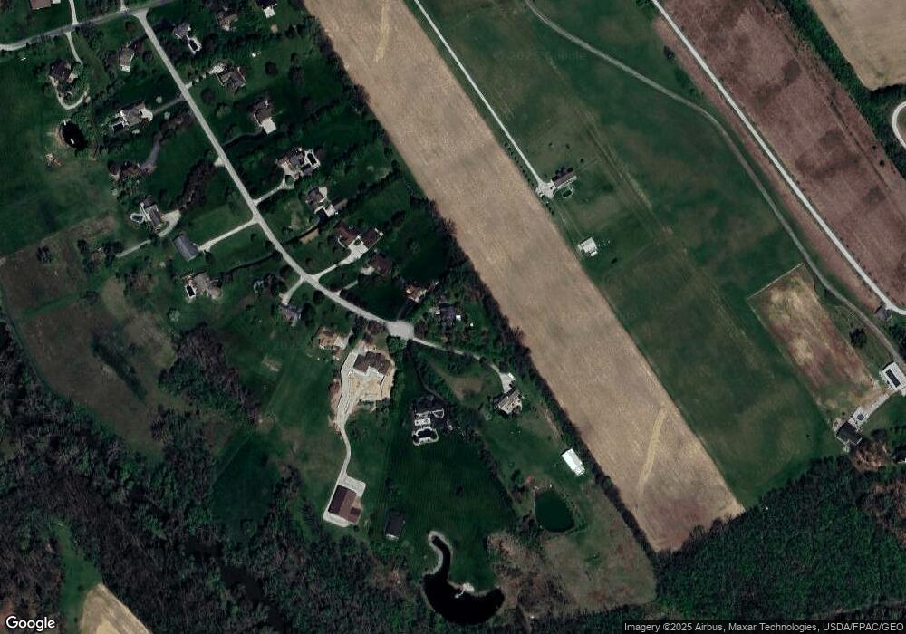
Map
Nearby Homes
- 2915 US Highway 42 NE
- 6270 South Rd
- 3980 Us-40
- 4 Thorn Locust Ln
- 7 Thorn Locust Ln
- 13 Thorn Locust Ln
- 41 Thorn Locust Ln
- 1 Thorn Locust Ln Unit 23
- 24 Thorn Locust Ln
- 33 Thorn Locust Ln
- 37 Thorn Locust Ln
- 161 Maplewood Ln
- 158 Maplewood Ln
- 156 Maplewood Ln
- 177 Thorn Locust Ln
- 1000 W Main St Unit Lot 13
- 183 Thorn Locust Ln
- 269 Thorn Locust Ln
- 277 Hathaway Rd
- 3150 Middle Pike
- 1813 Upper Valley Dr
- 1825 Upper Valley Dr
- 1800 Upper Valley Dr
- 1835 Upper Valley Dr
- 1810 Upper Valley Dr
- 1802 Upper Valley Dr
- 1820 Upper Valley Dr
- 1855 Upper Valley Dr
- 1801 Upper Valley Dr
- 1801 Upper Valley Dr
- 1895 Upper Valley Dr
- 1830 Upper Valley Dr
- 1880 Upper Valley Dr
- 1925 Upper Valley Dr
- 1900 Upper Valley Dr
- 1965 Upper Valley Dr
- 4665 Goodson Rd
- 1930 Upper Valley Dr
- 4541 Goodson Rd
- 4695 Goodson Rd