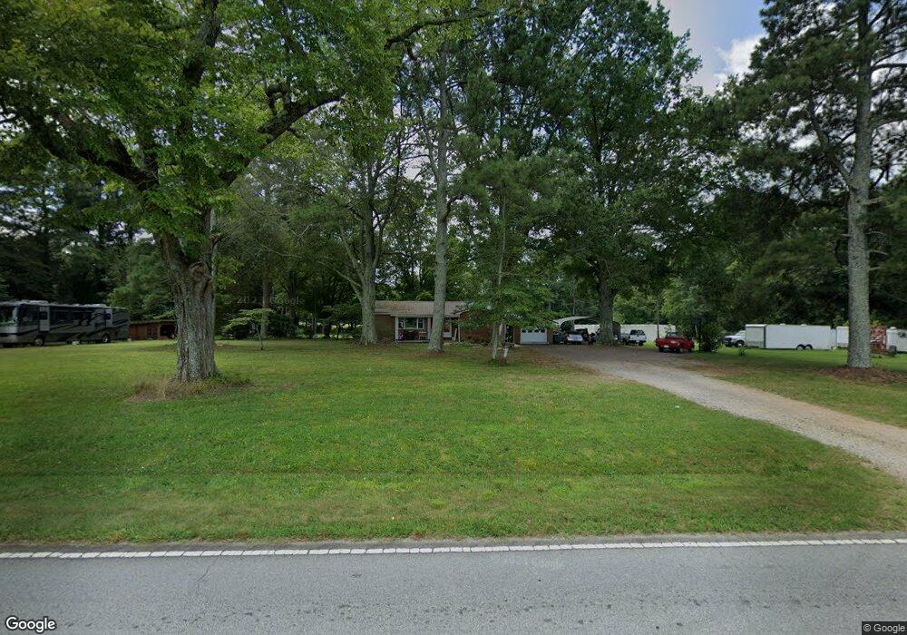
1803 Webb Rd Salisbury, NC 28146
Estimated Value: $195,000 - $271,222
Studio
1
Bath
1,135
Sq Ft
$207/Sq Ft
Est. Value
About This Home
This home is located at 1803 Webb Rd, Salisbury, NC 28146 and is currently estimated at $234,806, approximately $206 per square foot. 1803 Webb Rd is a home located in Rowan County with nearby schools including China Grove Elementary School, Southeast Middle School, and Jesse C Carson High School.
Ownership History
Date
Name
Owned For
Owner Type
Purchase Details
Closed on
Sep 19, 2006
Sold by
Huskins Deborah and Keller Deborah H
Bought by
Keller Kenneth Michael
Current Estimated Value
Home Financials for this Owner
Home Financials are based on the most recent Mortgage that was taken out on this home.
Original Mortgage
$120,000
Outstanding Balance
$71,316
Interest Rate
6.48%
Mortgage Type
Purchase Money Mortgage
Estimated Equity
$163,490
Create a Home Valuation Report for This Property
The Home Valuation Report is an in-depth analysis detailing your home's value as well as a comparison with similar homes in the area
Purchase History
| Date | Buyer | Sale Price | Title Company |
|---|---|---|---|
| Keller Kenneth Michael | $35,000 | None Available |
Source: Public Records
Mortgage History
| Date | Status | Borrower | Loan Amount |
|---|---|---|---|
| Open | Keller Kenneth Michael | $120,000 |
Source: Public Records
Tax History
| Year | Tax Paid | Tax Assessment Tax Assessment Total Assessment is a certain percentage of the fair market value that is determined by local assessors to be the total taxable value of land and additions on the property. | Land | Improvement |
|---|---|---|---|---|
| 2025 | $1,596 | $238,244 | $106,026 | $132,218 |
| 2024 | $1,596 | $238,244 | $106,026 | $132,218 |
| 2023 | $1,596 | $238,244 | $106,026 | $132,218 |
| 2022 | $1,342 | $179,498 | $88,179 | $91,319 |
| 2021 | $1,332 | $179,498 | $88,179 | $91,319 |
| 2020 | $1,332 | $179,498 | $88,179 | $91,319 |
| 2019 | $1,332 | $179,498 | $88,179 | $91,319 |
| 2018 | $1,278 | $173,662 | $88,179 | $85,483 |
| 2017 | $1,283 | $173,662 | $88,179 | $85,483 |
| 2016 | $1,347 | $173,662 | $88,179 | $85,483 |
| 2015 | $1,370 | $173,662 | $88,179 | $85,483 |
| 2014 | $1,325 | $174,990 | $88,179 | $86,811 |
Source: Public Records
Map
Nearby Homes
- 0 Brookfield Cir Unit CAR4292885
- 1160 Fox Chase Ct
- 128 Tumbleweed Dr
- 1140 Peeler Rd
- 1352 Eva Ln
- 1395 Safrit Rd
- 823 Glover Rd
- 845 Saint Paul Church Rd
- 137 Stafford Estates Dr
- 425 Acorn Oaks Dr
- 620 Mount Hope Church Rd
- 0 Maple St
- 5650 Bertie Ave
- 355 Swink Ave
- 1080 Beckham Rd
- 1060 Beckham Rd
- 825 Lippard Rd
- 509 Settlers Grove Ln
- 555 Settlers Grove Ln
- 735 Grace Church Rd
- 1809 Webb Rd
- 1815 Webb Rd
- 1817 Webb Rd
- 912 Yost Rd
- 1074 Arrowhead Cir
- 1062 Arrowhead Cir
- 2001 Webb Rd
- 1038 Arrowhead Cir
- 1026 Arrowhead Cir
- 1065 Arrowhead Cir
- 1614 Webb Rd
- 1912 Webb Rd
- 1052 Arrowhead Cir
- 2012 Webb Rd
- 2007 Webb Rd
- 1900 Webb Rd
- 1250 Dukemont St
- 1604 Webb Rd
- 1240 Dukemont St
- 1220 Dukemont St
Your Personal Tour Guide
Ask me questions while you tour the home.