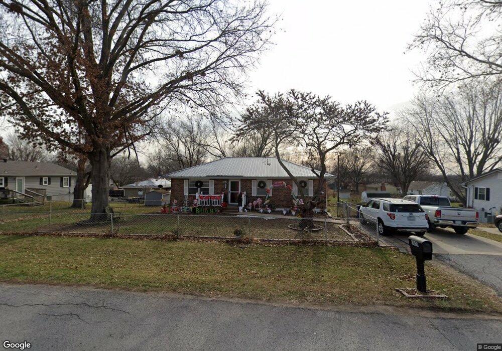
1803 Wornall Rd Excelsior Springs, MO 64024
Estimated Value: $210,657 - $234,000
3
Beds
1
Bath
1,092
Sq Ft
$201/Sq Ft
Est. Value
About This Home
This home is located at 1803 Wornall Rd, Excelsior Springs, MO 64024 and is currently estimated at $219,914, approximately $201 per square foot. 1803 Wornall Rd is a home located in Clay County with nearby schools including Excelsior Springs High School.
Ownership History
Date
Name
Owned For
Owner Type
Purchase Details
Closed on
Jun 11, 2013
Sold by
Madison Maeann and Madison Danny Ray
Bought by
Madison Danny Ray and Madison Maeann
Current Estimated Value
Home Financials for this Owner
Home Financials are based on the most recent Mortgage that was taken out on this home.
Original Mortgage
$75,001
Outstanding Balance
$15,046
Interest Rate
4.48%
Mortgage Type
New Conventional
Estimated Equity
$204,868
Purchase Details
Closed on
Apr 29, 2009
Sold by
Johntz John and Johntz Heather
Bought by
Curcio Terrance and Curcio Maeann
Home Financials for this Owner
Home Financials are based on the most recent Mortgage that was taken out on this home.
Original Mortgage
$79,000
Interest Rate
4.84%
Mortgage Type
Purchase Money Mortgage
Purchase Details
Closed on
Jan 1, 2009
Sold by
Walsh Lawrence and Walsh Suella K
Bought by
Johntz John and Johntz Heather
Create a Home Valuation Report for This Property
The Home Valuation Report is an in-depth analysis detailing your home's value as well as a comparison with similar homes in the area
Home Values in the Area
Average Home Value in this Area
Purchase History
| Date | Buyer | Sale Price | Title Company |
|---|---|---|---|
| Madison Danny Ray | -- | Lsi Title Company | |
| Curcio Terrance | -- | Stewart Title North Title & | |
| Johntz John | -- | None Available |
Source: Public Records
Mortgage History
| Date | Status | Borrower | Loan Amount |
|---|---|---|---|
| Open | Madison Danny Ray | $75,001 | |
| Closed | Curcio Terrance | $79,000 |
Source: Public Records
Tax History Compared to Growth
Tax History
| Year | Tax Paid | Tax Assessment Tax Assessment Total Assessment is a certain percentage of the fair market value that is determined by local assessors to be the total taxable value of land and additions on the property. | Land | Improvement |
|---|---|---|---|---|
| 2025 | $1,654 | $27,490 | -- | -- |
| 2024 | $1,654 | $23,580 | -- | -- |
| 2023 | $1,643 | $23,580 | $0 | $0 |
| 2022 | $1,438 | $20,290 | $0 | $0 |
| 2021 | $1,443 | $20,292 | $2,850 | $17,442 |
| 2020 | $1,405 | $19,210 | $0 | $0 |
| 2019 | $1,405 | $19,209 | $2,850 | $16,359 |
| 2018 | $1,208 | $16,470 | $0 | $0 |
| 2017 | $1,178 | $16,470 | $2,850 | $13,620 |
| 2016 | $1,178 | $16,470 | $2,850 | $13,620 |
| 2015 | $1,189 | $16,470 | $2,850 | $13,620 |
| 2014 | $1,200 | $16,470 | $2,850 | $13,620 |
Source: Public Records
Map
Nearby Homes
- 1904 Karlton Way
- 1908 Lesa Place
- 2017 Wornall Rd
- Lot 2 Wornall Rd
- 617 Lodwick Ln
- 2017 Karlton Way
- 125 Crown Hill Rd
- 240 Rock Bridge Pkwy
- 00000 NE 144th St
- 2021 Riverstone Dr
- 1318 Kristie Cir
- 2207 Ashford St
- 24818 NE 136th St
- 332 Woods Ave
- 106 Helen St
- 1101 Williams St
- 2210 Piedmont Place
- 2305 Arbor Ln
- 25416 Marel Rd
- 934 Williams St