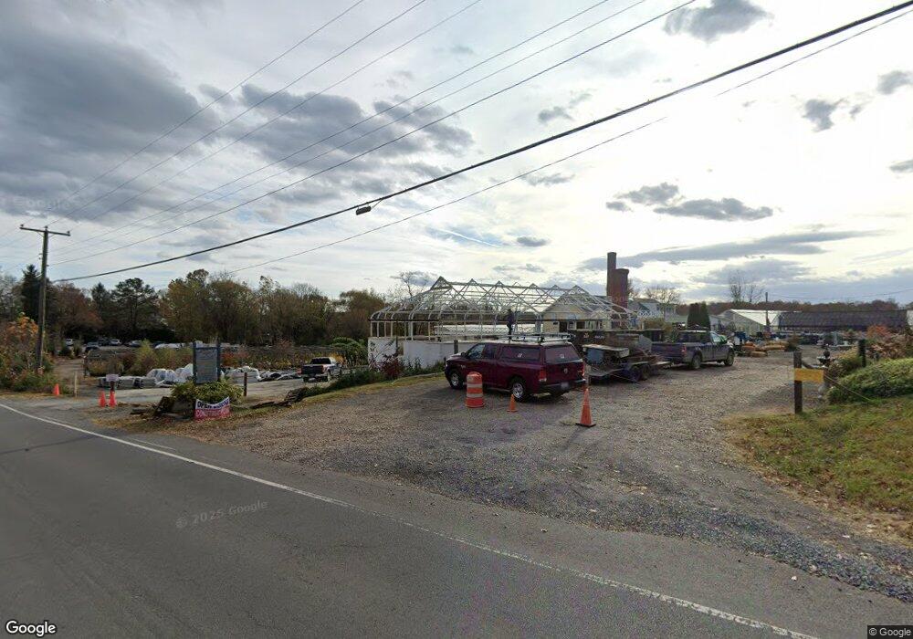
18035 Lincoln Rd Purcellville, VA 20132
Estimated Value: $3,649,014
--
Bed
--
Bath
35,932
Sq Ft
$102/Sq Ft
Est. Value
About This Home
This home is located at 18035 Lincoln Rd, Purcellville, VA 20132 and is currently estimated at $3,649,014, approximately $101 per square foot. 18035 Lincoln Rd is a home located in Loudoun County with nearby schools including Lincoln Elementary School, Blue Ridge Middle School, and Loudoun Valley High School.
Ownership History
Date
Name
Owned For
Owner Type
Purchase Details
Closed on
Mar 1, 2024
Sold by
Jwl Llc
Bought by
Knowles James and Knowles Autumn
Current Estimated Value
Home Financials for this Owner
Home Financials are based on the most recent Mortgage that was taken out on this home.
Original Mortgage
$2,500,000
Outstanding Balance
$2,489,914
Interest Rate
6.6%
Mortgage Type
New Conventional
Estimated Equity
$1,159,100
Purchase Details
Closed on
Jun 5, 1998
Sold by
Little Stephen J
Bought by
Jwl Llc
Create a Home Valuation Report for This Property
The Home Valuation Report is an in-depth analysis detailing your home's value as well as a comparison with similar homes in the area
Home Values in the Area
Average Home Value in this Area
Purchase History
| Date | Buyer | Sale Price | Title Company |
|---|---|---|---|
| Knowles James | $3,500,000 | Old Republic National Title | |
| Jwl Llc | $260,000 | -- |
Source: Public Records
Mortgage History
| Date | Status | Borrower | Loan Amount |
|---|---|---|---|
| Open | Knowles James | $2,500,000 |
Source: Public Records
Tax History Compared to Growth
Tax History
| Year | Tax Paid | Tax Assessment Tax Assessment Total Assessment is a certain percentage of the fair market value that is determined by local assessors to be the total taxable value of land and additions on the property. | Land | Improvement |
|---|---|---|---|---|
| 2025 | $4,671 | $580,260 | $3,130 | $577,130 |
| 2024 | $1,187 | $137,270 | $4,610 | $132,660 |
| 2023 | $1,248 | $142,630 | $4,150 | $138,480 |
| 2022 | $1,317 | $147,970 | $3,670 | $144,300 |
| 2021 | $3,824 | $390,190 | $209,400 | $180,790 |
| 2020 | $1,960 | $189,400 | $189,400 | $0 |
| 2019 | $1,979 | $189,400 | $189,400 | $0 |
| 2018 | $2,055 | $189,400 | $189,400 | $0 |
| 2017 | $2,131 | $189,400 | $189,400 | $0 |
| 2016 | $2,169 | $189,400 | $0 | $0 |
| 2015 | $2,150 | $0 | $0 | $0 |
| 2014 | $2,014 | $0 | $0 | $0 |
Source: Public Records
Map
Nearby Homes
- The Ashton I Plan at Valley Springs Estates
- The Ashton II Plan at Valley Springs Estates
- The Oakhall Plan at Valley Springs Estates
- The Elmsgate Plan at Valley Springs Estates
- 3 Springbury Dr
- 37517 Bernardini Ct
- 648 Elliot Dr
- 609 S Maple Ave
- 608 E G St
- 420 S 20th St
- 115 Frazer Dr
- 113 Frazer Dr
- 18302 Poplar Stand Place
- 221 S Maple Ave
- Hillsboro Plan at Woodside Acres
- Robey Plan at Woodside Acres
- Chapman Plan at Woodside Acres
- Aquinnah Plan at Woodside Acres
- Millwright II Plan at Woodside Acres
- 309 Bill Brower Ct
- 18015 Lincoln Rd
- 18081 Lincoln Rd
- 18048 Lincoln Rd
- 18018 Lincoln Rd
- 18087 Lincoln Rd
- 18064 Lincoln Rd
- 18004 Lincoln Rd
- 18078 Lincoln Rd
- 18103 Lincoln Rd
- 17979 Lincoln Rd
- 37746 Brooks Ln
- 18109 Lincoln Rd
- 18096 Lincoln Rd
- 18100 & 18096 Lincoln Rd
- 37712 Cooksville Rd
- 18100 Lincoln Rd
- 18115 Lincoln Rd
- 37774 Brooks Ln
- 37758 Brooks Ln
- 37764 Brooks Ln