1804 Nc Highway 801 N Mocksville, NC 27028
Estimated Value: $305,000 - $426,000
3
Beds
2
Baths
1,680
Sq Ft
$217/Sq Ft
Est. Value
About This Home
This home is located at 1804 Nc Highway 801 N, Mocksville, NC 27028 and is currently estimated at $363,912, approximately $216 per square foot. 1804 Nc Highway 801 N is a home located in Davie County with nearby schools including Pinebrook Elementary School, North Davie Middle School, and Davie County High School.
Ownership History
Date
Name
Owned For
Owner Type
Purchase Details
Closed on
Jun 25, 2024
Sold by
Snyder Reid James and Snyder Lynn C
Bought by
Snyder Reid James and Snyder Lynn C
Current Estimated Value
Purchase Details
Closed on
Sep 13, 2007
Sold by
Snyder Timothy M and Snyder Donna S
Bought by
Snyder Reid James and Snyder Lynn C
Home Financials for this Owner
Home Financials are based on the most recent Mortgage that was taken out on this home.
Original Mortgage
$75,000
Interest Rate
6.62%
Mortgage Type
Future Advance Clause Open End Mortgage
Create a Home Valuation Report for This Property
The Home Valuation Report is an in-depth analysis detailing your home's value as well as a comparison with similar homes in the area
Home Values in the Area
Average Home Value in this Area
Purchase History
| Date | Buyer | Sale Price | Title Company |
|---|---|---|---|
| Snyder Reid James | -- | None Listed On Document | |
| Snyder Reid James | -- | None Listed On Document | |
| Snyder Reid James | -- | None Available |
Source: Public Records
Mortgage History
| Date | Status | Borrower | Loan Amount |
|---|---|---|---|
| Previous Owner | Snyder Reid James | $75,000 |
Source: Public Records
Tax History Compared to Growth
Tax History
| Year | Tax Paid | Tax Assessment Tax Assessment Total Assessment is a certain percentage of the fair market value that is determined by local assessors to be the total taxable value of land and additions on the property. | Land | Improvement |
|---|---|---|---|---|
| 2025 | $1,420 | $206,280 | $0 | $0 |
| 2024 | $1,149 | $148,640 | $0 | $0 |
| 2023 | $1,149 | $148,640 | $0 | $0 |
| 2022 | $1,149 | $148,640 | $0 | $0 |
| 2021 | $1,149 | $148,640 | $0 | $0 |
| 2020 | $1,100 | $141,430 | $0 | $0 |
| 2019 | $1,100 | $141,430 | $0 | $0 |
| 2018 | $1,101 | $141,460 | $0 | $0 |
| 2017 | $1,086 | $141,460 | $0 | $0 |
| 2016 | $1,114 | $145,030 | $0 | $0 |
| 2015 | $1,114 | $145,030 | $0 | $0 |
| 2014 | $957 | $145,030 | $0 | $0 |
| 2013 | -- | $145,030 | $0 | $0 |
Source: Public Records
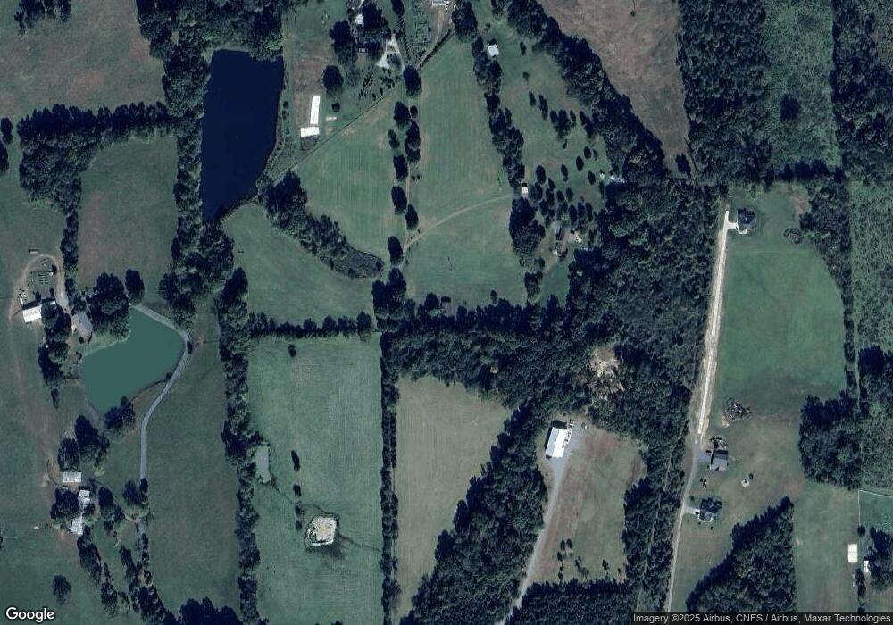
Map
Nearby Homes
- 0 Mcknight Rd
- 844 Rainbow Rd
- 2643 Nc Highway 801 N
- 1270 Rainbow Rd
- 197 Dare Ln
- 245 Shallowbrook Dr
- 300 Redland Rd
- 290 Redland Rd
- 279 Redland Rd
- 182 Woodburn Place
- 271 Redland Rd
- Cypress Plan at Redland
- Sullivan Plan at Redland
- Cooper Plan at Redland
- Wescott Plan at Redland
- Avery Plan at Redland
- Davidson Plan at Redland
- 4029 Estate Dr
- 4011 Estate Dr
- Roller Mill II Plan at Adams Estates
- 1794 Nc Highway 801 N
- 1806 Nc Highway 801 N
- 210 Albrecht Farm Ln
- 1786 Nc Highway 801 N
- 1736 Nc Highway 801 N
- 1643 Nc Highway 801 N
- 1822 Nc Highway 801 N
- 1848 Nc Highway 801 N
- 59 Myers Rd
- 54 Myers Rd
- 1838 Nc Highway 801 N
- 1668 Nc Highway 801 N
- 1847 Nc Highway 801 N
- 309 Spillman Rd
- 253 Spillman Rd
- 329 Spillman Rd
- 241 Spillman Rd
- 340 Spillman Rd
- 356 Spillman Rd
- 256 Spillman Rd