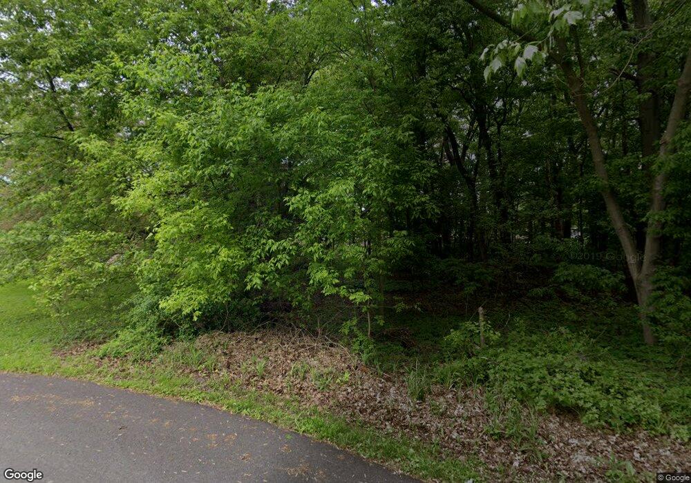
1804 Seaford Dr Oregon, OH 43616
Estimated Value: $31,676 - $224,000
--
Bed
--
Bath
--
Sq Ft
8,276
Sq Ft Lot
About This Home
This home is located at 1804 Seaford Dr, Oregon, OH 43616 and is currently estimated at $127,838. 1804 Seaford Dr is a home located in Lucas County.
Ownership History
Date
Name
Owned For
Owner Type
Purchase Details
Closed on
Sep 10, 2021
Sold by
Webber Michael
Bought by
Dana Bollin
Current Estimated Value
Home Financials for this Owner
Home Financials are based on the most recent Mortgage that was taken out on this home.
Interest Rate
2.88%
Purchase Details
Closed on
Jan 20, 2004
Sold by
Shaffer Sarah and Schafer Guy
Bought by
Webber Michael and Webber Sharon
Purchase Details
Closed on
Nov 20, 2001
Sold by
Estate Of Jack Robert Campbell
Bought by
Schafer Sarah
Purchase Details
Closed on
Jul 30, 1993
Sold by
Forfeited Land #
Purchase Details
Closed on
Jun 16, 1992
Purchase Details
Closed on
May 10, 1989
Create a Home Valuation Report for This Property
The Home Valuation Report is an in-depth analysis detailing your home's value as well as a comparison with similar homes in the area
Home Values in the Area
Average Home Value in this Area
Purchase History
| Date | Buyer | Sale Price | Title Company |
|---|---|---|---|
| Dana Bollin | $10,000 | -- | |
| Webber Michael | $27,500 | -- | |
| Schafer Sarah | -- | -- | |
| -- | -- | -- | |
| -- | -- | -- | |
| -- | -- | -- |
Source: Public Records
Mortgage History
| Date | Status | Borrower | Loan Amount |
|---|---|---|---|
| Closed | Dana Bollin | -- |
Source: Public Records
Tax History Compared to Growth
Tax History
| Year | Tax Paid | Tax Assessment Tax Assessment Total Assessment is a certain percentage of the fair market value that is determined by local assessors to be the total taxable value of land and additions on the property. | Land | Improvement |
|---|---|---|---|---|
| 2024 | $20 | $455 | $455 | -- |
| 2023 | $35 | $315 | $315 | $0 |
| 2022 | $45 | $490 | $490 | $0 |
| 2021 | $45 | $490 | $490 | $0 |
| 2020 | $47 | $455 | $455 | $0 |
| 2019 | $46 | $455 | $455 | $0 |
| 2018 | $23 | $455 | $455 | $0 |
| 2017 | $25 | $105 | $105 | $0 |
| 2016 | $25 | $300 | $300 | $0 |
| 2015 | $24 | $300 | $300 | $0 |
| 2014 | $7 | $110 | $110 | $0 |
| 2013 | $7 | $110 | $110 | $0 |
Source: Public Records
Map
Nearby Homes
- 1830 Lilias Dr
- 5911 Plympton Cir
- 2057 Blanche Dr
- 5243 Eagles Landing Dr
- 5305 Cedar Point Rd
- 1633 Grand Bay Dr
- 8800 Cedar Point Rd
- 6530 Corduroy Rd
- 2079 Arkansas St
- 140 N Wynn Rd
- 234 Avilyn Ln
- 4263 Corduroy Rd
- 5054 Magnolia Dr
- 5065 Magnolia Dr
- 5047 Noah Ln
- 5037 Easton Dr
- 5033 Easton Dr
- 5029 Easton Dr
- 5040 Easton Dr
- 5025 Easton Dr
- 6110 James Rd
- 1809 Lagundovie Rd
- 6086 James Rd
- 1761 Lagundovie Rd
- 6122 James Rd
- 1753 Lagundovie Rd
- 1812 Lagundovie Rd
- 1802 Lagundovie Rd
- 1764 Lagundovia Rd
- 6076 James Rd
- 1764 Lagundovie Rd
- 6109 James Rd
- 1826 Lagundovie Rd
- 1758 Lagundovie Rd
- 6121 James Rd
- 1739 Lagundovie Rd
- 1741 Lagundovie Rd
- 6066 James Rd
- 1757 Ashcroft Dr
- 1744 Lagundovie Rd
