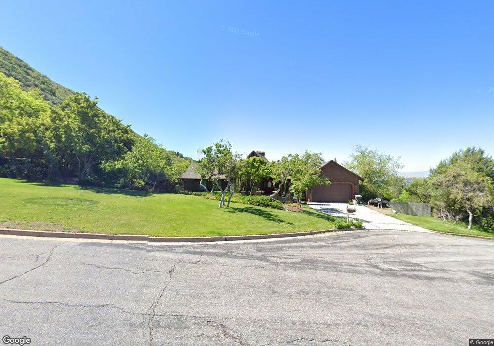
1805 Acorn Cir Ogden, UT 84403
Southeast Ogden NeighborhoodEstimated Value: $853,000 - $895,000
6
Beds
4
Baths
4,028
Sq Ft
$217/Sq Ft
Est. Value
About This Home
This home is located at 1805 Acorn Cir, Ogden, UT 84403 and is currently estimated at $873,144, approximately $216 per square foot. 1805 Acorn Cir is a home located in Weber County with nearby schools including Shadow Valley School, Mount Ogden Junior High School, and Ogden High School.
Ownership History
Date
Name
Owned For
Owner Type
Purchase Details
Closed on
Jan 26, 2023
Sold by
Stretch Jay P and Stretch Lucy B
Bought by
Stretch Revocable Trust
Current Estimated Value
Purchase Details
Closed on
Jun 23, 1997
Sold by
Marion G Michael and Marino Ann Marie P
Bought by
Stretch Jay P and Stretch Lucy B
Home Financials for this Owner
Home Financials are based on the most recent Mortgage that was taken out on this home.
Original Mortgage
$269,850
Interest Rate
7.91%
Create a Home Valuation Report for This Property
The Home Valuation Report is an in-depth analysis detailing your home's value as well as a comparison with similar homes in the area
Home Values in the Area
Average Home Value in this Area
Purchase History
| Date | Buyer | Sale Price | Title Company |
|---|---|---|---|
| Stretch Revocable Trust | -- | None Listed On Document | |
| Stretch Jay P | -- | Bonneville Title |
Source: Public Records
Mortgage History
| Date | Status | Borrower | Loan Amount |
|---|---|---|---|
| Previous Owner | Stretch Jay P | $269,850 |
Source: Public Records
Tax History
| Year | Tax Paid | Tax Assessment Tax Assessment Total Assessment is a certain percentage of the fair market value that is determined by local assessors to be the total taxable value of land and additions on the property. | Land | Improvement |
|---|---|---|---|---|
| 2025 | $5,118 | $895,858 | $249,483 | $646,375 |
| 2024 | $5,056 | $480,699 | $137,215 | $343,484 |
| 2023 | $4,370 | $426,250 | $137,216 | $289,034 |
| 2022 | $4,456 | $396,000 | $106,431 | $289,569 |
| 2021 | $4,014 | $606,000 | $118,006 | $487,994 |
| 2020 | $3,644 | $522,000 | $97,496 | $424,504 |
| 2019 | $3,700 | $503,000 | $92,493 | $410,507 |
| 2018 | $3,285 | $452,000 | $87,458 | $364,542 |
| 2017 | $3,224 | $423,000 | $77,373 | $345,627 |
| 2016 | $2,735 | $202,456 | $48,327 | $154,129 |
| 2015 | $2,243 | $171,867 | $48,327 | $123,540 |
| 2014 | $2,336 | $175,005 | $48,327 | $126,678 |
Source: Public Records
Map
Nearby Homes
- 1812 Beus Dr
- 1723 Ross Dr
- 1786 Ross Dr
- 1638 Country Hills Dr
- 4288 Fern Dr
- 4102 Edgehill Dr
- 4499 Fillmore Ave
- 1788 E Seven Oaks Ln
- 4781 Canterbury Rd
- 4849 Nightingale Ln
- 4858 Nightingale Ln Unit 72
- 4857 Chukar Ln
- 4843 S Nightingale
- 4864 Nightingale Ln Unit 71
- 1860 Wasatch Dr
- 1113 Country Hills Dr Unit G2
- 4983 Quail Ln
- 1070 40th St
- 3715 Van Buren Ave
- 5028 S Ridgedale Dr
- 4135 Beus Dr
- 4123 Beus Dr
- 4143 Beus Dr
- 1801 Acorn Cir
- 4085 Beus Dr
- 4157 Beus Dr
- 4157 Beus Dr Unit 51
- 1758 Hillside Cir
- 1822 Acorn Cir
- 4146 Ross Dr
- 0 Hillside Cir Unit 575621
- 0 Hillside Cir Unit 27
- 4120 Ross Dr
- 1767 Hillside Cir
- 4132 Beus Dr
- 4069 Beus Dr
- 4094 Beus Dr
- 1812 Valley View Cir
- 4140 Beus Dr
- 4140 Beus Dr
Your Personal Tour Guide
Ask me questions while you tour the home.