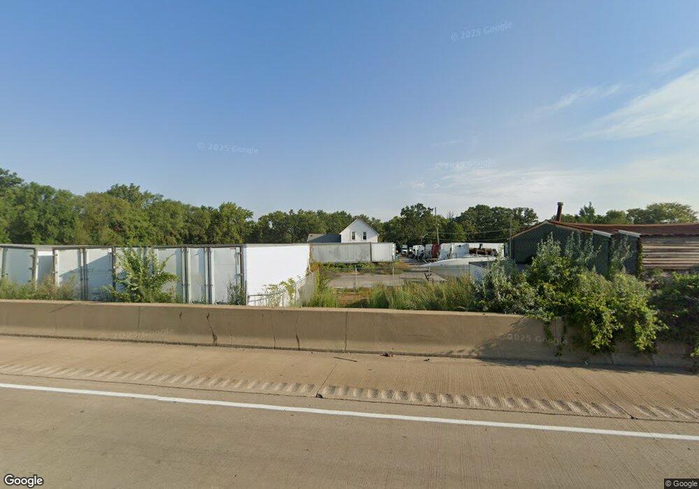
1805 Bernice Rd Lansing, IL 60438
Estimated Value: $247,000 - $390,653
3
Beds
1
Bath
1,830
Sq Ft
$162/Sq Ft
Est. Value
About This Home
This home is located at 1805 Bernice Rd, Lansing, IL 60438 and is currently estimated at $295,663, approximately $161 per square foot. 1805 Bernice Rd is a home located in Cook County with nearby schools including Reavis Elementary School, Memorial Jr High School, and Thornton Fractnl So High School.
Ownership History
Date
Name
Owned For
Owner Type
Purchase Details
Closed on
Jan 10, 2022
Sold by
Carreon Isidro and Sanchea Acacia Susana
Bought by
Sin Investment Properties
Current Estimated Value
Purchase Details
Closed on
Nov 23, 2021
Sold by
Carreon Isidro and Sanchea Acacia Susana
Bought by
Sin Investment Properties
Purchase Details
Closed on
Aug 17, 1994
Sold by
Raymond Charlotte
Bought by
Carreon Carreon Isidro Isidro and Carreon Sanchea Susan
Home Financials for this Owner
Home Financials are based on the most recent Mortgage that was taken out on this home.
Original Mortgage
$190,000
Interest Rate
8.72%
Mortgage Type
Seller Take Back
Create a Home Valuation Report for This Property
The Home Valuation Report is an in-depth analysis detailing your home's value as well as a comparison with similar homes in the area
Home Values in the Area
Average Home Value in this Area
Purchase History
| Date | Buyer | Sale Price | Title Company |
|---|---|---|---|
| Sin Investment Properties | -- | -- | |
| Sin Investment Properties | -- | -- | |
| Sin Investment Properties | -- | -- | |
| Carreon Carreon Isidro Isidro | $10,000 | Attorneys Title Guaranty Fun |
Source: Public Records
Mortgage History
| Date | Status | Borrower | Loan Amount |
|---|---|---|---|
| Previous Owner | Carreon Carreon Isidro Isidro | $190,000 |
Source: Public Records
Tax History Compared to Growth
Tax History
| Year | Tax Paid | Tax Assessment Tax Assessment Total Assessment is a certain percentage of the fair market value that is determined by local assessors to be the total taxable value of land and additions on the property. | Land | Improvement |
|---|---|---|---|---|
| 2024 | $5,334 | $15,214 | $6,214 | $9,000 |
| 2023 | $5,468 | $15,214 | $6,214 | $9,000 |
| 2022 | $5,468 | $12,347 | $2,486 | $9,861 |
| 2021 | $3,859 | $12,345 | $2,485 | $9,860 |
| 2020 | $3,742 | $12,345 | $2,485 | $9,860 |
| 2019 | $5,191 | $16,043 | $6,214 | $9,829 |
| 2018 | $4,975 | $16,043 | $6,214 | $9,829 |
| 2017 | $4,947 | $16,043 | $6,214 | $9,829 |
| 2016 | $4,445 | $14,155 | $4,660 | $9,495 |
| 2015 | $4,292 | $14,155 | $4,660 | $9,495 |
| 2014 | $4,166 | $14,155 | $4,660 | $9,495 |
| 2013 | $4,200 | $15,224 | $4,660 | $10,564 |
Source: Public Records
Map
Nearby Homes
- 3636 172nd St
- 1647 Shirley Dr
- 17 167th Place
- 41 167th St
- 1678 State Line Rd
- 36 167th St
- 3514 170th Place
- 1581 Kenilworth Dr
- 17204 Bernadine St
- 1567 Kenilworth Dr
- 17244 Wentworth Ave
- 32 166th Place
- 1562 Kenilworth Dr
- 17246 Bernadine St
- 3454 E 170th St
- 11 166th St
- 17258 William St
- 12 169th St
- 17128 Grant St
- 1527 Wentworth Ave
- 17103 Wentworth Ave
- 1624 Shirley Dr
- 17111 Wentworth Ave
- 1628 Shirley Dr
- 1620 Shirley Dr
- 1630 Shirley Dr
- 1616 Shirley Dr
- 1634 Shirley Dr
- 3560 171st St
- 3630 172nd St
- 3624 172nd St
- 17119 Wentworth Ave
- 3548 171st St
- 1662 Shirley Dr
- 1648 Shirley Dr
- 1672 Shirley Dr
- 3542 171st St
- 1678 Shirley Dr
- 17104 Wentworth Ave
- 17104 Wentworth Ave Unit 6