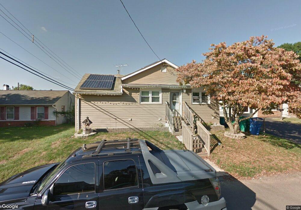
1805 Buchanan Ave Croydon, PA 19021
Estimated Value: $286,000 - $351,000
3
Beds
1
Bath
1,320
Sq Ft
$244/Sq Ft
Est. Value
About This Home
This home is located at 1805 Buchanan Ave, Croydon, PA 19021 and is currently estimated at $322,234, approximately $244 per square foot. 1805 Buchanan Ave is a home located in Bucks County with nearby schools including Truman Senior High School, School Lane Charter School, and St. Mark Elementary School.
Ownership History
Date
Name
Owned For
Owner Type
Purchase Details
Closed on
Jun 23, 2003
Sold by
Lautt Arnie and Lautt Rachel
Bought by
Lautt Arnie
Current Estimated Value
Home Financials for this Owner
Home Financials are based on the most recent Mortgage that was taken out on this home.
Original Mortgage
$100,000
Interest Rate
5.34%
Mortgage Type
Purchase Money Mortgage
Purchase Details
Closed on
Oct 29, 1998
Sold by
Williams Kenneth and Williams Sharon D
Bought by
Lautt Arnie and Lautt Rachel
Home Financials for this Owner
Home Financials are based on the most recent Mortgage that was taken out on this home.
Original Mortgage
$92,900
Interest Rate
6.68%
Mortgage Type
FHA
Create a Home Valuation Report for This Property
The Home Valuation Report is an in-depth analysis detailing your home's value as well as a comparison with similar homes in the area
Home Values in the Area
Average Home Value in this Area
Purchase History
| Date | Buyer | Sale Price | Title Company |
|---|---|---|---|
| Lautt Arnie | -- | -- | |
| Lautt Arnie | $93,000 | -- |
Source: Public Records
Mortgage History
| Date | Status | Borrower | Loan Amount |
|---|---|---|---|
| Closed | Lautt Arnie | $100,000 | |
| Closed | Lautt Arnie | $92,900 |
Source: Public Records
Tax History Compared to Growth
Tax History
| Year | Tax Paid | Tax Assessment Tax Assessment Total Assessment is a certain percentage of the fair market value that is determined by local assessors to be the total taxable value of land and additions on the property. | Land | Improvement |
|---|---|---|---|---|
| 2025 | $3,370 | $12,410 | $1,920 | $10,490 |
| 2024 | $3,370 | $12,410 | $1,920 | $10,490 |
| 2023 | $3,345 | $12,410 | $1,920 | $10,490 |
| 2022 | $3,345 | $12,410 | $1,920 | $10,490 |
| 2021 | $3,345 | $12,410 | $1,920 | $10,490 |
| 2020 | $3,345 | $12,410 | $1,920 | $10,490 |
| 2019 | $3,333 | $12,410 | $1,920 | $10,490 |
| 2018 | $3,279 | $12,410 | $1,920 | $10,490 |
| 2017 | $3,230 | $12,410 | $1,920 | $10,490 |
| 2016 | $3,230 | $12,410 | $1,920 | $10,490 |
| 2015 | $2,148 | $12,000 | $1,920 | $10,080 |
| 2014 | $2,148 | $12,000 | $1,920 | $10,080 |
Source: Public Records
Map
Nearby Homes
- 302 Grant Ave
- 1300 Magnolia Ave
- 500 Wyoming Ave
- 1719 Dixon Ave
- 2057 Garfield Ave
- 906 Stephen Ave
- 910 Magnolia Ave
- 1000 Main Ave
- 2307 State Rd
- 0 Newportville Rd Unit PABU487252
- 725 Rosa Ave
- 819 Central Ave
- 1901 Summit Ave
- 1012 Franklin Ave
- 1 McLevins Ct
- 932 Wyoming Ave
- 618 Cedar Ave
- L:15 Dunston Rd
- 543 Princess Ave
- 1005 Maryland Ave
- 1501 Buchanan Ave
- 1809 Buchanan Ave
- 200 Janet Ave
- 1500 Lincoln Ave
- 1500 Buchanan Ave
- 1504 Buchanan Ave
- 1813 Buchanan Ave
- 1808 Lincoln Ave
- 204 Janet Ave
- 1812 Buchanan Ave
- 1816 Lincoln Ave
- 102 Janet Ave
- 1814 Buchanan Ave
- 201 Janet Ave
- 107 Janet Ave
- 1819 Buchanan Ave
- 1818 Buchanan Ave
- 1824 Lincoln Ave
- 1807 Bristol Pike
- 1407 Nancy Dr