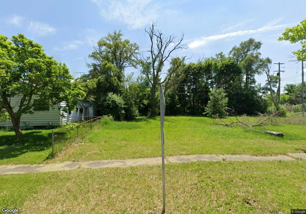
1805 Canniff St Flint, MI 48504
Bel-Aire Woods NeighborhoodEstimated Value: $20,000 - $43,000
3
Beds
1
Bath
1,310
Sq Ft
$23/Sq Ft
Est. Value
About This Home
This home is located at 1805 Canniff St, Flint, MI 48504 and is currently estimated at $29,725, approximately $22 per square foot. 1805 Canniff St is a home located in Genesee County with nearby schools including Brownell STEM Academy, The New Standard Academy, and Eagle's Nest Academy.
Ownership History
Date
Name
Owned For
Owner Type
Purchase Details
Closed on
Dec 22, 2014
Sold by
Genesee County Treasurer
Bought by
Genesee County Land Bank
Current Estimated Value
Purchase Details
Closed on
Jun 24, 2013
Sold by
First Corinthian Bap Church
Bought by
Gammon Carla R
Purchase Details
Closed on
Jul 25, 2011
Sold by
Wothke Matthew J and Wothke Staci
Bought by
First Corinthian Baptist Church
Purchase Details
Closed on
Feb 28, 2003
Sold by
Rodden Shirley J and Rodden Clifford C
Bought by
Wothke Matthew J
Create a Home Valuation Report for This Property
The Home Valuation Report is an in-depth analysis detailing your home's value as well as a comparison with similar homes in the area
Home Values in the Area
Average Home Value in this Area
Purchase History
| Date | Buyer | Sale Price | Title Company |
|---|---|---|---|
| Genesee County Land Bank | -- | None Available | |
| Gammon Carla R | -- | Cislo Title Company | |
| First Corinthian Baptist Church | -- | None Available | |
| Wothke Matthew J | $20,500 | Sargents Title Company |
Source: Public Records
Tax History Compared to Growth
Tax History
| Year | Tax Paid | Tax Assessment Tax Assessment Total Assessment is a certain percentage of the fair market value that is determined by local assessors to be the total taxable value of land and additions on the property. | Land | Improvement |
|---|---|---|---|---|
| 2025 | -- | $0 | $0 | $0 |
| 2024 | -- | $0 | $0 | $0 |
| 2023 | -- | $0 | $0 | $0 |
| 2022 | $0 | $0 | $0 | $0 |
| 2021 | $0 | $0 | $0 | $0 |
| 2020 | $0 | $0 | $0 | $0 |
| 2019 | $0 | $0 | $0 | $0 |
| 2018 | $0 | $0 | $0 | $0 |
| 2017 | $0 | $0 | $0 | $0 |
| 2016 | $0 | $0 | $0 | $0 |
| 2015 | -- | $0 | $0 | $0 |
| 2014 | -- | $0 | $0 | $0 |
| 2012 | -- | $12,200 | $0 | $0 |
Source: Public Records
Map
Nearby Homes
- 1913 Cherrylawn Dr
- 2118 Santa Barbara Dr
- 1621 Shamrock Ln
- 5106 Cloverlawn Dr
- 4201 Winona St
- 3330 Maywood Dr
- 1720 Marlowe Dr
- 1902 Marlowe Dr
- 5302 Susan St
- 3819 Brownell Blvd
- 4515 Baldwin Blvd
- 5616 Griggs Dr
- 5620 Marlowe Dr
- 4808 Edwards Ave
- 5806 Marlowe Dr
- 3722 Sterling St
- 3617 Kellar Ave
- 5318 Baldwin Blvd
- 4006 Donnelly St
- 3412 Comstock Ave
- 1809 Canniff St
- 1901 Canniff St
- 4621 Warrington Dr
- 4613 Warrington Dr
- 1907 Canniff St
- 1910 Santa Barbara Dr
- 1914 Santa Barbara Dr
- 4607 Warrington Dr
- 1918 Santa Barbara Dr
- 1806 Canniff St
- 1902 Canniff St
- 1913 Canniff St
- 1917 Canniff St
- 4707 Warrington Dr
- 1922 Santa Barbara Dr
- 1902 Santa Barbara Dr
- 1908 Canniff St
- 4630 Warrington Dr
- 2002 Santa Barbara Dr
- 1912 Canniff St