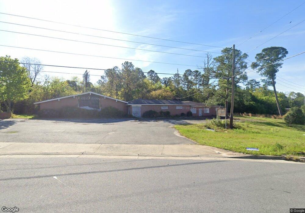
1805 Clinton Rd Macon, GA 31211
Estimated Value: $598,921
--
Bed
2
Baths
3,957
Sq Ft
$151/Sq Ft
Est. Value
About This Home
This home is located at 1805 Clinton Rd, Macon, GA 31211 and is currently estimated at $598,921, approximately $151 per square foot. 1805 Clinton Rd is a home located in Bibb County with nearby schools including Martin Luther King Jr. Elementary School, Appling Middle School, and Northeast High School.
Ownership History
Date
Name
Owned For
Owner Type
Purchase Details
Closed on
Jan 12, 2007
Sold by
Roswell Holdings Llc
Bought by
S & G Worldwide Inc
Current Estimated Value
Home Financials for this Owner
Home Financials are based on the most recent Mortgage that was taken out on this home.
Original Mortgage
$200,000
Interest Rate
6.08%
Mortgage Type
Purchase Money Mortgage
Purchase Details
Closed on
Dec 15, 2006
Sold by
Shax Llc
Bought by
Roswell Holdings Llc
Home Financials for this Owner
Home Financials are based on the most recent Mortgage that was taken out on this home.
Original Mortgage
$200,000
Interest Rate
6.08%
Mortgage Type
Purchase Money Mortgage
Purchase Details
Closed on
May 5, 2006
Sold by
Roswell Holdings Llc
Bought by
Shax Llc
Purchase Details
Closed on
Oct 21, 2005
Purchase Details
Closed on
May 5, 2004
Purchase Details
Closed on
Nov 21, 2002
Create a Home Valuation Report for This Property
The Home Valuation Report is an in-depth analysis detailing your home's value as well as a comparison with similar homes in the area
Home Values in the Area
Average Home Value in this Area
Purchase History
| Date | Buyer | Sale Price | Title Company |
|---|---|---|---|
| S & G Worldwide Inc | $335,000 | None Available | |
| Roswell Holdings Llc | -- | None Available | |
| Shax Llc | $418,000 | -- | |
| -- | -- | -- | |
| -- | -- | -- | |
| -- | $499,000 | -- |
Source: Public Records
Mortgage History
| Date | Status | Borrower | Loan Amount |
|---|---|---|---|
| Closed | S & G Worldwide Inc | $200,000 |
Source: Public Records
Tax History Compared to Growth
Tax History
| Year | Tax Paid | Tax Assessment Tax Assessment Total Assessment is a certain percentage of the fair market value that is determined by local assessors to be the total taxable value of land and additions on the property. | Land | Improvement |
|---|---|---|---|---|
| 2025 | $1,785 | $72,628 | $40,264 | $32,364 |
| 2024 | $1,845 | $72,628 | $40,264 | $32,364 |
| 2023 | $1,845 | $72,628 | $40,264 | $32,364 |
| 2022 | $1,952 | $56,388 | $52,140 | $4,248 |
| 2021 | $17,510 | $111,243 | $106,995 | $4,248 |
| 2020 | $4,319 | $111,243 | $106,995 | $4,248 |
| 2019 | $4,355 | $111,243 | $106,995 | $4,248 |
| 2018 | $6,010 | $100,254 | $91,728 | $8,526 |
| 2017 | $3,756 | $100,254 | $91,728 | $8,526 |
| 2016 | $3,462 | $100,065 | $91,728 | $8,337 |
| 2015 | $5,094 | $104,024 | $91,728 | $12,296 |
| 2014 | $5,887 | $104,519 | $91,728 | $12,791 |
Source: Public Records
Map
Nearby Homes
- 1533 Upper River Rd
- 1821 Clinton Rd
- 1820 Clinton Rd
- 1826 Clinton Rd
- 1819 Crestview Dr
- 1832 Clinton Rd
- 1842 Clinton Rd
- 1854 Clinton Rd
- 1843 Crestview Dr
- 1627 Upper River Rd
- 1858 Clinton Rd
- 1847 Crestview Dr
- 1680 Clinton Rd
- 1855 Crestview Dr
- 1832 Crestview Dr
- 1862 Clinton Rd
- 1447 College Pkwy
- 1678 Clinton Rd
- 1861 Crestview Dr
- 1670 Clinton Rd