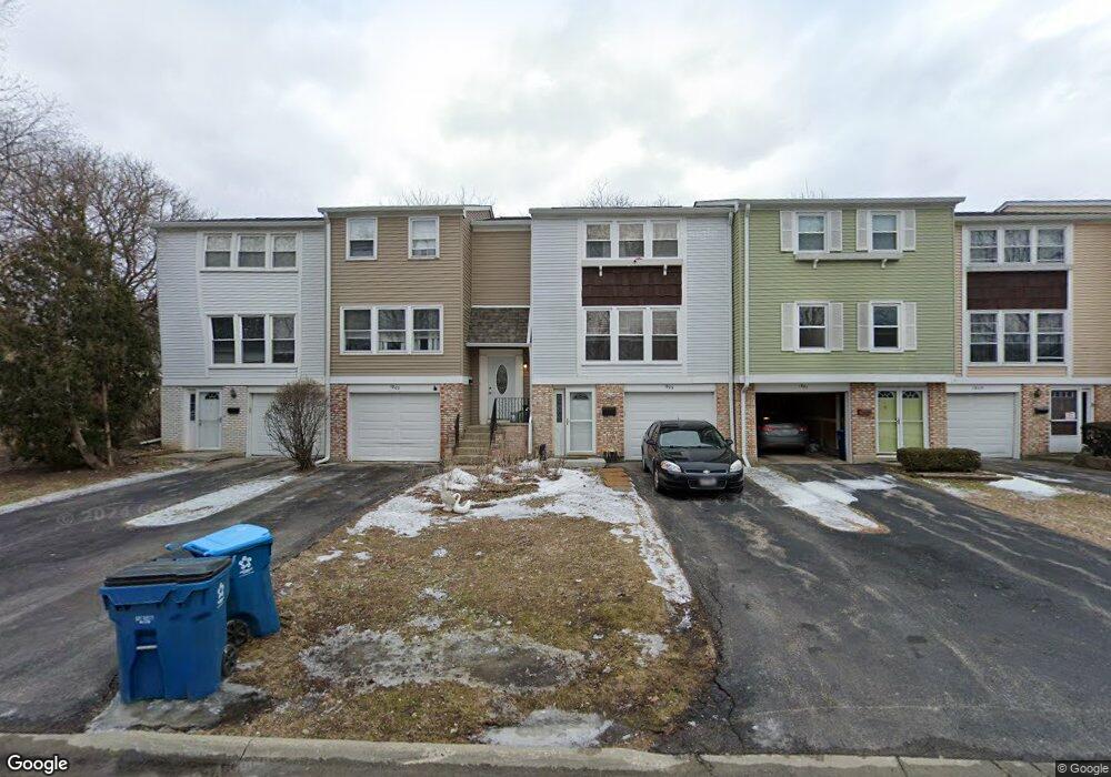
1805 Dumont Ln Unit 111 Schaumburg, IL 60194
West Schaumburg NeighborhoodEstimated Value: $263,000 - $290,000
3
Beds
2
Baths
1,300
Sq Ft
$215/Sq Ft
Est. Value
About This Home
This home is located at 1805 Dumont Ln Unit 111, Schaumburg, IL 60194 and is currently estimated at $280,009, approximately $215 per square foot. 1805 Dumont Ln Unit 111 is a home located in Cook County with nearby schools including Neil Armstrong Elementary School, Dwight D Eisenhower Junior High School, and Hoffman Estates High School.
Ownership History
Date
Name
Owned For
Owner Type
Purchase Details
Closed on
Apr 16, 1999
Sold by
Booth Sherry R
Bought by
Lumpkin Angelia S
Current Estimated Value
Home Financials for this Owner
Home Financials are based on the most recent Mortgage that was taken out on this home.
Original Mortgage
$83,200
Outstanding Balance
$25,413
Interest Rate
9.5%
Estimated Equity
$254,596
Create a Home Valuation Report for This Property
The Home Valuation Report is an in-depth analysis detailing your home's value as well as a comparison with similar homes in the area
Home Values in the Area
Average Home Value in this Area
Purchase History
| Date | Buyer | Sale Price | Title Company |
|---|---|---|---|
| Lumpkin Angelia S | $104,000 | -- |
Source: Public Records
Mortgage History
| Date | Status | Borrower | Loan Amount |
|---|---|---|---|
| Open | Lumpkin Angelia S | $83,200 |
Source: Public Records
Tax History Compared to Growth
Tax History
| Year | Tax Paid | Tax Assessment Tax Assessment Total Assessment is a certain percentage of the fair market value that is determined by local assessors to be the total taxable value of land and additions on the property. | Land | Improvement |
|---|---|---|---|---|
| 2024 | $4,379 | $19,000 | $3,000 | $16,000 |
| 2023 | $4,210 | $19,000 | $3,000 | $16,000 |
| 2022 | $4,210 | $19,000 | $3,000 | $16,000 |
| 2021 | $3,415 | $14,625 | $2,835 | $11,790 |
| 2020 | $3,429 | $14,625 | $2,835 | $11,790 |
| 2019 | $3,430 | $16,250 | $2,835 | $13,415 |
| 2018 | $2,646 | $12,264 | $2,475 | $9,789 |
| 2017 | $2,622 | $12,264 | $2,475 | $9,789 |
| 2016 | $3,731 | $16,034 | $2,475 | $13,559 |
| 2015 | $2,686 | $11,624 | $2,160 | $9,464 |
| 2014 | $2,672 | $11,624 | $2,160 | $9,464 |
| 2013 | $3,053 | $13,251 | $2,160 | $11,091 |
Source: Public Records
Map
Nearby Homes
- 1912 Finchley Ct Unit 3
- 1103 Southbridge Ln
- 1020 Denham Place Unit 1
- 1121 Southbridge Ln
- 808 Bishop Ct Unit 2
- 775 Harmon Blvd
- 1698 Pebble Beach Dr
- 1475 Crowfoot Cir S
- 700 N Hundley St
- 1901 Kingsley Dr
- 604 N Brookdale Dr
- 1375 Rebecca Dr Unit 318
- 1475 Rebecca Dr Unit 217
- 1415 N Oakmont Rd
- 640 Downey St
- 1352 W Oakmont Rd
- 2216 Andover Ct
- 1365 Blair Ln
- 454 Willington Dr
- 508 N Walnut Ln
- 1803 Dumont Ln Unit 3
- 1807 Dumont Ln
- 1801 Dumont Ln Unit 3
- 1809 Dumont Ln
- 1811 Dumont Ln
- 1813 Dumont Ln Unit 111
- 1815 Dumont Ln
- 945 Cardiff Ct
- 1733 Dumont Ln
- 1733 Dumont Ln Unit 16B
- 943 Cardiff Ct Unit 3
- 1815 Lancashire Ct
- 931 Cardiff Ct Unit 3
- 944 Cardiff Ct Unit III
- 939 Cardiff Ct Unit 3
- 1731 Dumont Ln
- 1813 Lancashire Ct Unit 3
- 942 Cardiff Ct Unit 3
- 934 Cardiff Ct
- 937 Cardiff Ct Unit 3