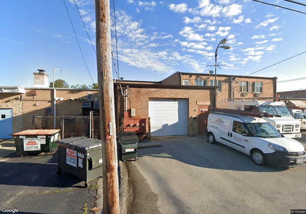
1805 E Oakton St Des Plaines, IL 60018
Estimated Value: $345,413 - $541,000
Studio
2
Baths
--
Sq Ft
3,136
Sq Ft Lot
About This Home
This home is located at 1805 E Oakton St, Des Plaines, IL 60018 and is currently estimated at $437,804. 1805 E Oakton St is a home located in Cook County with nearby schools including South Elementary School, Algonquin Middle School, and Maine West High School.
Ownership History
Date
Name
Owned For
Owner Type
Purchase Details
Closed on
Nov 6, 2015
Sold by
Patterson Steven J and Ratterson Ma Nenita
Bought by
Imburgia John
Current Estimated Value
Home Financials for this Owner
Home Financials are based on the most recent Mortgage that was taken out on this home.
Original Mortgage
$157,500
Interest Rate
5.25%
Mortgage Type
Commercial
Purchase Details
Closed on
Jul 12, 2006
Sold by
Patterson Steven J
Bought by
Patterson Steven J and Patterson Ma Nenita
Purchase Details
Closed on
Nov 18, 2002
Sold by
Patterson Elmer J
Bought by
Patterson Steven J
Create a Home Valuation Report for This Property
The Home Valuation Report is an in-depth analysis detailing your home's value as well as a comparison with similar homes in the area
Home Values in the Area
Average Home Value in this Area
Purchase History
| Date | Buyer | Sale Price | Title Company |
|---|---|---|---|
| Imburgia John | $210,000 | Ct | |
| Patterson Steven J | -- | Ticor | |
| Patterson Steven J | -- | -- |
Source: Public Records
Mortgage History
| Date | Status | Borrower | Loan Amount |
|---|---|---|---|
| Closed | Imburgia John | $157,500 |
Source: Public Records
Tax History
| Year | Tax Paid | Tax Assessment Tax Assessment Total Assessment is a certain percentage of the fair market value that is determined by local assessors to be the total taxable value of land and additions on the property. | Land | Improvement |
|---|---|---|---|---|
| 2025 | $8,173 | $43,001 | $2,813 | $40,188 |
| 2024 | $8,173 | $31,000 | $2,344 | $28,656 |
| 2023 | $7,977 | $31,000 | $2,344 | $28,656 |
| 2022 | $7,977 | $31,000 | $2,344 | $28,656 |
| 2021 | $8,118 | $26,410 | $1,953 | $24,457 |
| 2020 | $7,981 | $26,410 | $1,953 | $24,457 |
| 2019 | $8,170 | $30,357 | $1,953 | $28,404 |
| 2018 | $7,082 | $23,680 | $1,718 | $21,962 |
| 2017 | $6,957 | $23,680 | $1,718 | $21,962 |
| 2016 | $8,736 | $31,437 | $1,718 | $29,719 |
| 2015 | $7,057 | $23,344 | $1,484 | $21,860 |
| 2014 | $6,908 | $23,344 | $1,484 | $21,860 |
| 2013 | $6,736 | $23,344 | $1,484 | $21,860 |
Source: Public Records
Map
Nearby Homes
- 1640 S River Rd
- 1721 Prospect Ave
- 1990 Berry Ln
- 1700 E Forest Ave
- 1645 Illinois St
- 1689 S Elm St
- 1696 S Elm St
- 1445 Everett Ave
- 1922 Fargo Ave
- 1630 Henry Ave
- 1638 Oakwood Ave
- 1370 Fargo Ave Unit E
- 1649 Ashland Ave Unit 501
- 1524 Oakwood Ave
- 1080 Bogart St
- 2220 S Chestnut St
- 700 Florence Dr
- 1380 Oakwood Ave Unit 306
- 1207 Hoffman Ave
- 1641 E Touhy Ave
- 1801 E Oakton St
- 1632 Locust St
- 1641 Maple St
- 1640 Locust St
- 1640 Locust St
- 1659 Maple St
- 1792 E Oakton St
- 1652 Locust St
- 1628 Maple St
- 1628 Maple St
- 1855 E Oakton St
- 1636 Maple St
- 1635 Locust St
- 1663 Maple St
- 1648 Maple St
- 1784 E Oakton St Unit 1
- 1784 E Oakton St Unit 3
- 1784 E Oakton St Unit 2
- 1784 E Oakton St Unit 101
- 1784 E Oakton St Unit 107
Your Personal Tour Guide
Ask me questions while you tour the home.