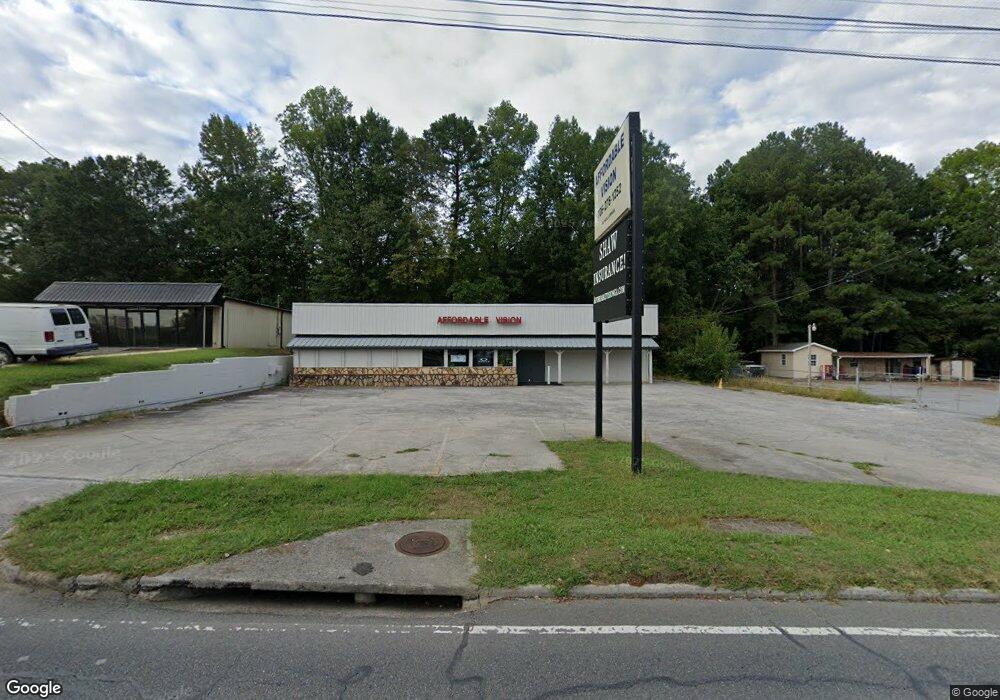
1805 E Walnut Ave Dalton, GA 30721
Estimated Value: $403,635
Studio
2
Baths
2,315
Sq Ft
$174/Sq Ft
Est. Value
About This Home
This home is located at 1805 E Walnut Ave, Dalton, GA 30721 and is currently estimated at $403,635, approximately $174 per square foot. 1805 E Walnut Ave is a home located in Whitfield County with nearby schools including Blue Ridge Elementary School, Dalton High School, and Rock Hill School.
Ownership History
Date
Name
Owned For
Owner Type
Purchase Details
Closed on
Jan 30, 2023
Sold by
Notele Llc
Bought by
Leach Edward Dean
Current Estimated Value
Purchase Details
Closed on
Dec 11, 2008
Sold by
Not Provided
Bought by
Notele
Purchase Details
Closed on
Feb 22, 2007
Sold by
Not Provided
Bought by
Notele
Purchase Details
Closed on
Feb 1, 2003
Sold by
Eleton Earl L
Bought by
Eleton Family Irrevocable Trust U/K
Purchase Details
Closed on
Sep 1, 1994
Bought by
Eleton Earl L
Create a Home Valuation Report for This Property
The Home Valuation Report is an in-depth analysis detailing your home's value as well as a comparison with similar homes in the area
Purchase History
| Date | Buyer | Sale Price | Title Company |
|---|---|---|---|
| Leach Edward Dean | $135,000 | -- | |
| Notele | -- | -- | |
| Notele | -- | -- | |
| Eleton Family Irrevocable Trust U/K | -- | -- | |
| Eleton Earl L | $145,000 | -- |
Source: Public Records
Tax History
| Year | Tax Paid | Tax Assessment Tax Assessment Total Assessment is a certain percentage of the fair market value that is determined by local assessors to be the total taxable value of land and additions on the property. | Land | Improvement |
|---|---|---|---|---|
| 2025 | $4,039 | $126,268 | $50,688 | $75,580 |
| 2024 | $4,039 | $126,268 | $50,688 | $75,580 |
| 2023 | $2,266 | $65,804 | $21,762 | $44,042 |
| 2022 | $2,266 | $65,804 | $21,762 | $44,042 |
| 2021 | $2,270 | $65,804 | $21,762 | $44,042 |
| 2020 | $2,358 | $65,804 | $21,762 | $44,042 |
| 2019 | $2,431 | $65,804 | $21,762 | $44,042 |
| 2018 | $2,468 | $65,804 | $21,762 | $44,042 |
| 2017 | $2,375 | $65,804 | $21,762 | $44,042 |
| 2016 | $2,390 | $65,804 | $21,762 | $44,042 |
| 2014 | $2,172 | $65,804 | $21,762 | $44,042 |
| 2013 | -- | $65,804 | $21,761 | $44,042 |
Source: Public Records
Map
Nearby Homes
- 436 Whitener Dr
- 1902 Bartenfield Dr
- 406 Lester Ave
- trac 3 Roosevelt Dr
- 514 Sheridan Ave
- 1629 Roosevelt Dr
- 306 Robinwood Dr
- 143 Staten St
- 1302 Jackson Rd
- 359 Pacer Ln Unit 4
- 1112 Riverbend Dr
- 121 Eugenia Dr
- 119 Eugenia Dr
- 213 Nashville St
- 1104 May St
- 118 Hill Rd
- 171 Keith St
- 1118 Dozier St
- 1317 Coker Dr
- 626 Fifth Ave
- 511 Whitener Dr
- 1583 E Walnut Ave
- 507 Whitener Dr
- 505 Whitener Dr
- 529 Martha Sue Dr
- 1709 E Walnut Ave
- 1903 E Walnut Ave Unit 71-82
- 526 Whitener Dr
- 523 Lester Ave
- 1701 E Walnut Ave
- 523 Martha Sue Dr
- 519 Lester Ave
- 1776 E Walnut Ave
- 517 Lester Ave
- 435 Whitener Dr
- 519 Martha Sue Dr
- 515 Lester Ave
- 522 Lester Ave
- 1581 E Walnut Ave
- 520 Lester Ave
Your Personal Tour Guide
Ask me questions while you tour the home.