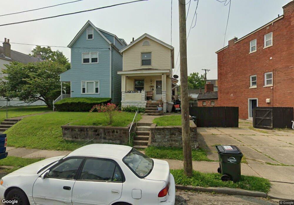
1805 Elm Ave Cincinnati, OH 45212
Estimated Value: $139,222 - $243,000
2
Beds
2
Baths
1,200
Sq Ft
$154/Sq Ft
Est. Value
About This Home
This home is located at 1805 Elm Ave, Cincinnati, OH 45212 and is currently estimated at $184,556, approximately $153 per square foot. 1805 Elm Ave is a home located in Hamilton County with nearby schools including Norwood High School, Cornerstone Christian Academy, and Immaculate Conception Academy.
Ownership History
Date
Name
Owned For
Owner Type
Purchase Details
Closed on
Mar 2, 2002
Sold by
Dillard Louise E and Dillard Louse E
Bought by
Dillard Louise E and Dillard Eleanor L
Current Estimated Value
Purchase Details
Closed on
Jul 12, 2001
Sold by
Estate Of Martin L Dillard
Bought by
Dillard Eleanor L
Create a Home Valuation Report for This Property
The Home Valuation Report is an in-depth analysis detailing your home's value as well as a comparison with similar homes in the area
Home Values in the Area
Average Home Value in this Area
Purchase History
| Date | Buyer | Sale Price | Title Company |
|---|---|---|---|
| Dillard Louise E | -- | -- | |
| Dillard Eleanor L | -- | -- |
Source: Public Records
Tax History
| Year | Tax Paid | Tax Assessment Tax Assessment Total Assessment is a certain percentage of the fair market value that is determined by local assessors to be the total taxable value of land and additions on the property. | Land | Improvement |
|---|---|---|---|---|
| 2025 | $1,066 | $30,625 | $5,684 | $24,941 |
| 2023 | $1,110 | $30,625 | $5,684 | $24,941 |
| 2022 | $506 | $16,895 | $3,819 | $13,076 |
| 2021 | $470 | $16,895 | $3,819 | $13,076 |
| 2020 | $485 | $16,895 | $3,819 | $13,076 |
| 2019 | $393 | $14,820 | $3,350 | $11,470 |
| 2018 | $394 | $14,820 | $3,350 | $11,470 |
| 2017 | $371 | $14,820 | $3,350 | $11,470 |
| 2016 | $647 | $19,180 | $3,150 | $16,030 |
| 2015 | $578 | $19,180 | $3,150 | $16,030 |
| 2014 | $583 | $19,180 | $3,150 | $16,030 |
| 2013 | $644 | $20,402 | $3,350 | $17,052 |
Source: Public Records
Map
Nearby Homes
- 1819 Maple Ave
- 1827 Maple Ave
- 1824 Maple Ave
- 1762 Cleveland Ave
- 1701 Sherman Ave
- 1846 Cleveland Ave
- 1901 Sherman Ave
- 1907 Crown Ave
- 1952 Maple Ave
- 3 Baker Cir
- 1841 Mills Ave
- 4719 Section Ave
- 2005 Crown Ave
- 4308 Carter Ave
- 2030 Elm Ave
- 2043 Lawrence Ave
- 1354 Avon Dr
- 2049 Sherman Ave
- 4210 Lowry Ave
- 1284 Paddock Hills Ave
Your Personal Tour Guide
Ask me questions while you tour the home.