1805 Frahm Pike Celina, OH 45822
Estimated Value: $154,810 - $248,000
3
Beds
1
Bath
1,604
Sq Ft
$119/Sq Ft
Est. Value
About This Home
This home is located at 1805 Frahm Pike, Celina, OH 45822 and is currently estimated at $190,953, approximately $119 per square foot. 1805 Frahm Pike is a home located in Mercer County with nearby schools including Parkway Elementary School, Parkway Middle School, and Parkway High School.
Ownership History
Date
Name
Owned For
Owner Type
Purchase Details
Closed on
Jun 17, 2013
Sold by
Thornton Wayne D and Thornton Karla S
Bought by
Neff Benjamin L and Neff Michelle R
Current Estimated Value
Home Financials for this Owner
Home Financials are based on the most recent Mortgage that was taken out on this home.
Original Mortgage
$90,250
Interest Rate
3.34%
Mortgage Type
New Conventional
Purchase Details
Closed on
Nov 17, 2005
Sold by
Schaadt Jerry A
Bought by
Thornton Wayne D and Heitkamp Karla S
Create a Home Valuation Report for This Property
The Home Valuation Report is an in-depth analysis detailing your home's value as well as a comparison with similar homes in the area
Home Values in the Area
Average Home Value in this Area
Purchase History
| Date | Buyer | Sale Price | Title Company |
|---|---|---|---|
| Neff Benjamin L | $133,000 | Attorney | |
| Thornton Wayne D | $97,000 | Attorney |
Source: Public Records
Mortgage History
| Date | Status | Borrower | Loan Amount |
|---|---|---|---|
| Closed | Neff Benjamin L | $90,250 |
Source: Public Records
Tax History Compared to Growth
Tax History
| Year | Tax Paid | Tax Assessment Tax Assessment Total Assessment is a certain percentage of the fair market value that is determined by local assessors to be the total taxable value of land and additions on the property. | Land | Improvement |
|---|---|---|---|---|
| 2024 | $1,389 | $40,850 | $12,990 | $27,860 |
| 2023 | $1,389 | $40,850 | $12,990 | $27,860 |
| 2022 | $1,229 | $27,760 | $11,340 | $16,420 |
| 2021 | $1,210 | $27,760 | $11,340 | $16,420 |
| 2020 | $1,227 | $27,760 | $11,340 | $16,420 |
| 2019 | $1,000 | $23,740 | $9,700 | $14,040 |
| 2018 | $977 | $23,740 | $9,700 | $14,040 |
| 2017 | $811 | $23,740 | $9,700 | $14,040 |
| 2016 | $702 | $19,360 | $8,440 | $10,920 |
| 2015 | $678 | $19,330 | $8,440 | $10,890 |
| 2014 | $679 | $19,330 | $8,440 | $10,890 |
| 2013 | $829 | $20,970 | $9,170 | $11,800 |
Source: Public Records
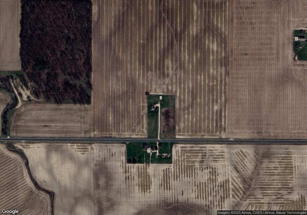
Map
Nearby Homes
- 2332 State Route 29
- 6699 Gause Rd
- 11164 Erastus Durbin Rd
- 6799 Debra Ave
- 0 Wilson Unit 1037059
- 0 Wilson Unit 306333
- 4640 Sierra Dr
- 0 Anderson 13&14 & Roadway 12&13 Unit 1037886
- 6764 Silver Lakes Dr
- 0 Anderson Lots 10 11 & 12 Ln Unit 1037885
- 0 Springer 1-6 & Roadway 14-16 Unit 1037883
- 7323 S 350 E
- 0 Rockford West Rd Unit Lots 14- 28
- 404 W South St
- 1101 Timothy Ln
- 208 W Pearl St
- 12223 Ohio 49
- 208 Market St
- 1218 Brittany Dr
- 7957 W Bridge St