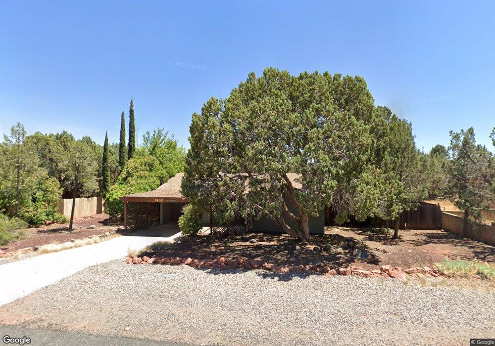
1805 Gun Fury Rd Sedona, AZ 86336
Estimated Value: $593,000 - $881,000
--
Bed
--
Bath
1,602
Sq Ft
$459/Sq Ft
Est. Value
About This Home
This home is located at 1805 Gun Fury Rd, Sedona, AZ 86336 and is currently estimated at $734,551, approximately $458 per square foot. 1805 Gun Fury Rd is a home located in Yavapai County with nearby schools including West Sedona Elementary School, Sedona Red Rock Junior/Senior High School, and Sedona Charter School.
Ownership History
Date
Name
Owned For
Owner Type
Purchase Details
Closed on
Jan 21, 2022
Sold by
Wagner Claire E
Bought by
Muzafarov Makhmadnabi
Current Estimated Value
Home Financials for this Owner
Home Financials are based on the most recent Mortgage that was taken out on this home.
Original Mortgage
$290,000
Outstanding Balance
$268,807
Interest Rate
3.56%
Mortgage Type
Purchase Money Mortgage
Estimated Equity
$465,744
Purchase Details
Closed on
Nov 13, 2018
Sold by
Wagner Claire E and Wagner Marie Elaine
Bought by
Wagner Claire E
Create a Home Valuation Report for This Property
The Home Valuation Report is an in-depth analysis detailing your home's value as well as a comparison with similar homes in the area
Home Values in the Area
Average Home Value in this Area
Purchase History
| Date | Buyer | Sale Price | Title Company |
|---|---|---|---|
| Muzafarov Makhmadnabi | $440,000 | Pioneer Title | |
| Wagner Claire E | -- | None Available |
Source: Public Records
Mortgage History
| Date | Status | Borrower | Loan Amount |
|---|---|---|---|
| Open | Muzafarov Makhmadnabi | $290,000 |
Source: Public Records
Tax History Compared to Growth
Tax History
| Year | Tax Paid | Tax Assessment Tax Assessment Total Assessment is a certain percentage of the fair market value that is determined by local assessors to be the total taxable value of land and additions on the property. | Land | Improvement |
|---|---|---|---|---|
| 2026 | $2,732 | $56,332 | -- | -- |
| 2024 | $2,660 | $56,739 | -- | -- |
| 2023 | $2,660 | $39,989 | $12,685 | $27,304 |
| 2022 | $2,612 | $32,530 | $10,562 | $21,968 |
| 2021 | $2,654 | $30,792 | $9,091 | $21,701 |
| 2020 | $2,654 | $0 | $0 | $0 |
| 2019 | $2,629 | $0 | $0 | $0 |
| 2018 | $2,281 | $0 | $0 | $0 |
| 2017 | $2,227 | $0 | $0 | $0 |
| 2016 | $2,183 | $0 | $0 | $0 |
| 2015 | -- | $0 | $0 | $0 |
| 2014 | -- | $0 | $0 | $0 |
Source: Public Records
Map
Nearby Homes
- 460 Coffee Pot Dr
- 55 Stations Dr W
- 310 Mountain Shadows Dr Unit 89
- 145 Grounds Dr
- 747 Mountain Shadows Dr
- 160 Budd Way
- 260 Coffee Pot Dr Unit 17
- 260 Coffee Pot Dr Unit 6
- 260 Coffee Pot Dr Unit 20
- 25 Santa Barbara Dr
- 2190 Sanborn Dr
- 280 Goodrow Ln
- 30 Schimberg Rd
- 2200 Buckboard Rd
- 25 Edgewood Cir
- 1670 W State Route 89a
- 1483 Vista Montana Rd
- 240 Goodrow Ln
- 1445 Cline Rd
- 1403 Vista Montana Rd Unit 56