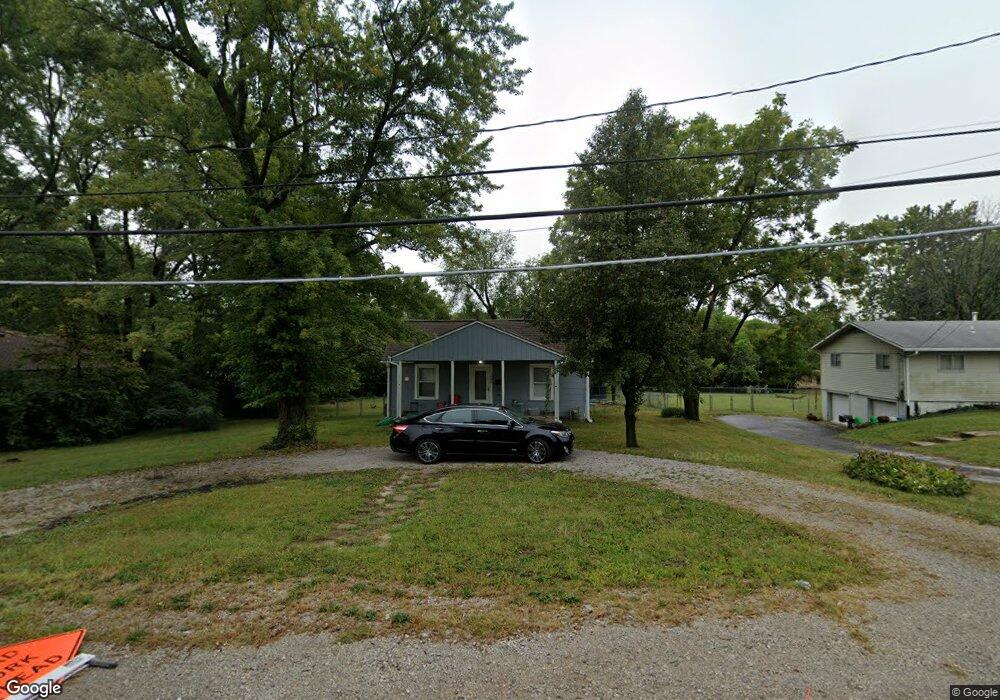
1805 High Grove Rd Grandview, MO 64030
Estimated Value: $122,000 - $191,000
2
Beds
1
Bath
1,024
Sq Ft
$162/Sq Ft
Est. Value
About This Home
This home is located at 1805 High Grove Rd, Grandview, MO 64030 and is currently estimated at $166,002, approximately $162 per square foot. 1805 High Grove Rd is a home located in Jackson County with nearby schools including Meadowmere Elementary School, Grandview Middle, and Grandview High School.
Ownership History
Date
Name
Owned For
Owner Type
Purchase Details
Closed on
Sep 14, 2022
Sold by
Grundstrom Curtis M and Grundstrom Angela
Bought by
Dominguez Vanessa
Current Estimated Value
Purchase Details
Closed on
Feb 16, 2006
Sold by
Ervin Gary L and Ervin Marva J
Bought by
Grundstrom Curtis M
Home Financials for this Owner
Home Financials are based on the most recent Mortgage that was taken out on this home.
Original Mortgage
$62,026
Interest Rate
6.1%
Mortgage Type
FHA
Create a Home Valuation Report for This Property
The Home Valuation Report is an in-depth analysis detailing your home's value as well as a comparison with similar homes in the area
Home Values in the Area
Average Home Value in this Area
Purchase History
| Date | Buyer | Sale Price | Title Company |
|---|---|---|---|
| Dominguez Vanessa | -- | -- | |
| Grundstrom Curtis M | -- | Kansas City Title |
Source: Public Records
Mortgage History
| Date | Status | Borrower | Loan Amount |
|---|---|---|---|
| Previous Owner | Grundstrom Curtis M | $62,026 |
Source: Public Records
Tax History Compared to Growth
Tax History
| Year | Tax Paid | Tax Assessment Tax Assessment Total Assessment is a certain percentage of the fair market value that is determined by local assessors to be the total taxable value of land and additions on the property. | Land | Improvement |
|---|---|---|---|---|
| 2025 | $1,060 | $14,993 | $4,737 | $10,256 |
| 2024 | $1,042 | $13,038 | $3,996 | $9,042 |
| 2023 | $1,042 | $13,038 | $1,414 | $11,624 |
| 2022 | $1,615 | $18,810 | $8,398 | $10,412 |
| 2021 | $1,614 | $18,810 | $8,398 | $10,412 |
| 2020 | $1,362 | $16,815 | $8,398 | $8,417 |
| 2019 | $1,313 | $16,815 | $8,398 | $8,417 |
| 2018 | $602 | $7,169 | $1,538 | $5,631 |
| 2017 | $599 | $7,169 | $1,538 | $5,631 |
| 2016 | $599 | $6,989 | $3,703 | $3,286 |
| 2014 | $596 | $6,852 | $3,631 | $3,221 |
Source: Public Records
Map
Nearby Homes
- 13202 Parker Ave
- 14925 S U S 71 Hwy
- 1903 Highgrove Rd
- 13119 Fuller Ave
- 12217 Bennington Ave
- 6208 E 129th St
- 6154 E 129th St
- 13227 Bennington Ave
- 13424 Parker Ave
- 6609 E 129th St
- 6600 E 129 St
- 13303 Bennington Ave
- 5903 E 127th St
- 13425 Belmead Ave
- 6608 E 128th St
- 13407 Bennington Ave
- 6010 E 127th St
- 13218 Craig Ave
- 13122 Winchester Ave
- 12709 Applewood Dr
- 6109 High Grove Rd
- 1803 High Grove Rd
- 6113 High Grove Rd
- 1801 High Grove Rd
- 6119 High Grove Rd
- 13103 Spring St
- 13116 Parker Ave
- 6211 High Grove Rd
- 13117 Parker Ave
- 5907 High Grove Rd
- 6213 High Grove Rd
- 13120 Parker Ave
- 13114 Parker Ave
- 13113 Parker Ave
- 6215 High Grove Rd
- 13120 Spring St
- 13105 Parker Ave
- 13125 Spring St
- 13126 Spring St
- 6217 High Grove Rd