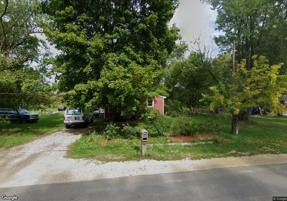
1805 Highland Ave Benton Harbor, MI 49022
Benton Heights NeighborhoodEstimated Value: $106,354 - $150,000
--
Bed
--
Bath
1,164
Sq Ft
$107/Sq Ft
Est. Value
About This Home
This home is located at 1805 Highland Ave, Benton Harbor, MI 49022 and is currently estimated at $124,089, approximately $106 per square foot. 1805 Highland Ave is a home located in Berrien County with nearby schools including Fair Plain Middle School, Benton Harbor High School, and Mildred C. Wells Preparatory Academy.
Ownership History
Date
Name
Owned For
Owner Type
Purchase Details
Closed on
Aug 20, 2018
Sold by
Witkowski Bret
Bought by
Lemus Aaron
Current Estimated Value
Purchase Details
Closed on
Jul 29, 2014
Sold by
Davis Willie
Bought by
Gomez Jose M Lemus
Purchase Details
Closed on
Mar 21, 2011
Sold by
Davis Brenda
Bought by
Davis Willie
Purchase Details
Closed on
Apr 5, 2005
Sold by
Hudson Sam
Bought by
Davis Brenda K
Purchase Details
Closed on
Jan 9, 2003
Sold by
Destiny 98 Td
Bought by
Hudson Samuel
Purchase Details
Closed on
Jan 23, 1998
Create a Home Valuation Report for This Property
The Home Valuation Report is an in-depth analysis detailing your home's value as well as a comparison with similar homes in the area
Home Values in the Area
Average Home Value in this Area
Purchase History
| Date | Buyer | Sale Price | Title Company |
|---|---|---|---|
| Lemus Aaron | $21,000 | None Available | |
| Gomez Jose M Lemus | -- | None Available | |
| Davis Willie | -- | None Available | |
| Davis Brenda K | $6,000 | None Available | |
| Hudson Samuel | -- | -- | |
| -- | $1,000 | -- |
Source: Public Records
Tax History Compared to Growth
Tax History
| Year | Tax Paid | Tax Assessment Tax Assessment Total Assessment is a certain percentage of the fair market value that is determined by local assessors to be the total taxable value of land and additions on the property. | Land | Improvement |
|---|---|---|---|---|
| 2025 | $2,167 | $37,800 | $0 | $0 |
| 2024 | $781 | $32,200 | $0 | $0 |
| 2023 | $744 | $30,400 | $0 | $0 |
| 2022 | $708 | $28,800 | $0 | $0 |
| 2021 | $1,005 | $27,600 | $1,400 | $26,200 |
| 2020 | $980 | $27,200 | $0 | $0 |
| 2019 | $1,006 | $19,300 | $900 | $18,400 |
| 2018 | $1,541 | $19,300 | $0 | $0 |
| 2017 | $1,528 | $17,900 | $0 | $0 |
| 2016 | $1,486 | $17,600 | $0 | $0 |
| 2015 | $1,521 | $17,700 | $0 | $0 |
| 2014 | $610 | $17,300 | $0 | $0 |
Source: Public Records
Map
Nearby Homes
- 140 N Crystal Ave
- 149 Bridgman Ave
- 185 Felton St
- 425 N Euclid Ave
- 1226 Chicago Ave
- 394 Linden St
- 234 Walnut St
- 2416 Highland Ave
- 766 S Crystal Ave
- 1069 E Main St
- 2431 E Britain Ave
- 992 Highland Ave
- 238 Pine St
- 137 Cornelia St
- 000 N Euclid Ave
- 00 N Euclid Ave
- 0 N Euclid Ave Unit 24029856
- 0 Vl Clinton Rd
- 1435 E Empire Ave
- 948 Baldanza Ave
- 1815 Highland Ave
- 126 Vashti St
- 131 Frederick St
- 138 Vashti St
- 1739 Highland Ave
- 1780 Highland Ave
- 162 Vashti St
- 1715 Highland Ave
- 177 Frederick St
- 176 Vashti St
- 141 N Crystal Ave
- 1840 Highland Ave
- 153 N Crystal Ave
- 111 S Crystal Ave
- 165 N Crystal Ave
- 178 Frederick St
- 1848 Highland Ave
- 173 Frederick St
- 197 Frederick St
- 104 S Crystal Ave