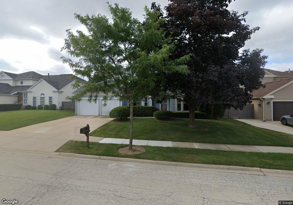
1805 Maryland Dr Elk Grove Village, IL 60007
Elk Grove Village West NeighborhoodEstimated Value: $596,010 - $677,000
4
Beds
3
Baths
2,210
Sq Ft
$291/Sq Ft
Est. Value
About This Home
This home is located at 1805 Maryland Dr, Elk Grove Village, IL 60007 and is currently estimated at $643,253, approximately $291 per square foot. 1805 Maryland Dr is a home located in Cook County with nearby schools including Frederick Nerge Elementary School, Margaret Mead Junior High School, and J B Conant High School.
Ownership History
Date
Name
Owned For
Owner Type
Purchase Details
Closed on
Feb 22, 2000
Sold by
Hoffman Ronald M
Bought by
Zhang Ciguo and Qian Ning
Current Estimated Value
Home Financials for this Owner
Home Financials are based on the most recent Mortgage that was taken out on this home.
Original Mortgage
$225,000
Outstanding Balance
$71,444
Interest Rate
7.62%
Estimated Equity
$571,809
Create a Home Valuation Report for This Property
The Home Valuation Report is an in-depth analysis detailing your home's value as well as a comparison with similar homes in the area
Home Values in the Area
Average Home Value in this Area
Purchase History
| Date | Buyer | Sale Price | Title Company |
|---|---|---|---|
| Zhang Ciguo | $301,000 | -- |
Source: Public Records
Mortgage History
| Date | Status | Borrower | Loan Amount |
|---|---|---|---|
| Open | Zhang Ciguo | $225,000 |
Source: Public Records
Tax History Compared to Growth
Tax History
| Year | Tax Paid | Tax Assessment Tax Assessment Total Assessment is a certain percentage of the fair market value that is determined by local assessors to be the total taxable value of land and additions on the property. | Land | Improvement |
|---|---|---|---|---|
| 2024 | $11,489 | $42,864 | $9,360 | $33,504 |
| 2023 | $11,140 | $42,864 | $9,360 | $33,504 |
| 2022 | $11,140 | $42,864 | $9,360 | $33,504 |
| 2021 | $10,269 | $35,601 | $6,120 | $29,481 |
| 2020 | $10,078 | $35,601 | $6,120 | $29,481 |
| 2019 | $10,087 | $39,557 | $6,120 | $33,437 |
| 2018 | $10,954 | $38,503 | $5,220 | $33,283 |
| 2017 | $10,854 | $38,503 | $5,220 | $33,283 |
| 2016 | $10,378 | $38,503 | $5,220 | $33,283 |
| 2015 | $9,841 | $34,376 | $4,320 | $30,056 |
| 2014 | $9,728 | $34,376 | $4,320 | $30,056 |
| 2013 | $9,460 | $34,376 | $4,320 | $30,056 |
Source: Public Records
Map
Nearby Homes
- 1845 Maryland Dr
- 924 Surrey Dr Unit 1A
- 833 Thornton Ct Unit 2B
- 826 Thornton Ct Unit 2AL
- 1224 Knottingham Ct Unit 1A
- 1810 Hawk Ln
- 725 Bismark Ct
- 409 New York Ln
- 718 N Point Dr
- 932 Kentucky Ln
- 620 S Point Dr
- 263 Doral Ct Unit 1
- 722 Merlin Dr Unit 16
- 1139 Rothbury Ct
- 1453 Armstrong Ln
- 1022 Tennessee Ln
- 421 E Wise Rd
- 1124 Lovell Ct
- 1100 Boston Harbor Unit 7004
- 160 Inverness Ct Unit A
- 1809 Maryland Dr
- 1801 Maryland Dr
- 1815 Maryland Dr
- 1804 Maryland Dr
- 1808 Maryland Dr
- 1800 Maryland Dr
- 1814 Maryland Dr
- 1819 Maryland Dr
- 631 Vine Ln
- 635 Vine Ln
- 1805 Baltimore Dr
- 1809 Baltimore Dr
- 1818 Maryland Dr
- 1801 Baltimore Dr
- 629 Vine Ln
- 1815 Baltimore Dr
- 1815 Baltimore Dr
- 1823 Maryland Dr
- 609 Cutter Ln
- 613 Cutter Ln