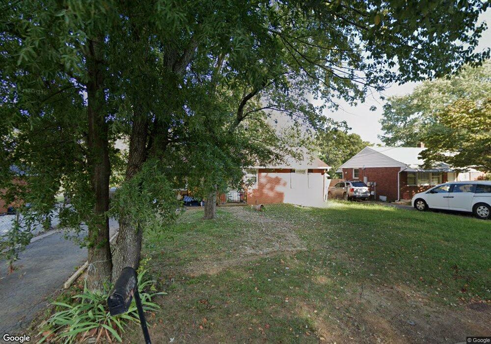
1805 Pershing St High Point, NC 27260
Greater High Point NeighborhoodEstimated Value: $110,000 - $184,000
3
Beds
1
Bath
968
Sq Ft
$143/Sq Ft
Est. Value
About This Home
This home is located at 1805 Pershing St, High Point, NC 27260 and is currently estimated at $138,461, approximately $143 per square foot. 1805 Pershing St is a home located in Guilford County with nearby schools including Fairview Elementary School, Ferndale Middle School, and High Point Central High School.
Ownership History
Date
Name
Owned For
Owner Type
Purchase Details
Closed on
May 15, 2009
Sold by
Deutsche Bank National Trust Company
Bought by
Sturdivant Deborah L
Current Estimated Value
Purchase Details
Closed on
Dec 30, 2008
Sold by
Mcclain John
Bought by
Deutsche Bank National Trust Company
Purchase Details
Closed on
May 31, 2006
Sold by
Puckett Jerry R and Puckett Debra G
Bought by
Mcclain John
Home Financials for this Owner
Home Financials are based on the most recent Mortgage that was taken out on this home.
Original Mortgage
$10,439
Interest Rate
6.51%
Mortgage Type
Unknown
Create a Home Valuation Report for This Property
The Home Valuation Report is an in-depth analysis detailing your home's value as well as a comparison with similar homes in the area
Home Values in the Area
Average Home Value in this Area
Purchase History
| Date | Buyer | Sale Price | Title Company |
|---|---|---|---|
| Sturdivant Deborah L | $24,000 | None Available | |
| Deutsche Bank National Trust Company | $47,515 | None Available | |
| Mcclain John | $66,000 | None Available |
Source: Public Records
Mortgage History
| Date | Status | Borrower | Loan Amount |
|---|---|---|---|
| Previous Owner | Mcclain John | $10,439 | |
| Previous Owner | Mcclain John | $66,000 |
Source: Public Records
Tax History
| Year | Tax Paid | Tax Assessment Tax Assessment Total Assessment is a certain percentage of the fair market value that is determined by local assessors to be the total taxable value of land and additions on the property. | Land | Improvement |
|---|---|---|---|---|
| 2025 | $834 | $60,500 | $10,000 | $50,500 |
| 2024 | $834 | $60,500 | $10,000 | $50,500 |
| 2023 | $834 | $60,500 | $10,000 | $50,500 |
| 2022 | $816 | $60,500 | $10,000 | $50,500 |
| 2021 | $685 | $49,700 | $6,000 | $43,700 |
| 2020 | $685 | $49,700 | $6,000 | $43,700 |
| 2019 | $685 | $49,700 | $0 | $0 |
| 2018 | $400 | $49,700 | $0 | $0 |
| 2017 | $685 | $49,700 | $0 | $0 |
| 2016 | $734 | $52,300 | $0 | $0 |
| 2015 | $737 | $52,300 | $0 | $0 |
| 2014 | $750 | $52,300 | $0 | $0 |
Source: Public Records
Map
Nearby Homes
- 1103 Jefferson St
- 1012 Jefferson St
- 1422 Valley Ridge Dr
- 1114 Richland St
- 1010 Grace St
- 650 Wesley Dr
- 1021 Asheboro St
- 640 Wesley Dr
- 909 Randolph St
- 925 Randolph St
- 705 Wise Ave
- 812 E Russell Ave
- 1015 Sharon St
- 1914 E Russell Ave
- 335 Nathan Hunt Dr
- 702 Park St
- 507 E Grimes Ave
- 1314 Franklin Ave
- 423 Tate St
- 526 White Oak St
- 1807 Pershing St
- 1803 Pershing St
- 1809 Pershing St
- 1811 Pershing St
- 1709 Pershing St
- 1813 Pershing St
- 1707 Pershing St
- 1105 Lake Ave
- 1815 Pershing St
- 1705 Pershing St
- 1817 Pershing St
- 1814 Pershing St
- 1700 Pershing St
- 1819 Pershing St
- 1816 Pershing St
- 1701 Pershing St
- 1818 Pershing St
- 1821 Pershing St
- 1104 Wise Ave
- 1009 Jefferson St
Your Personal Tour Guide
Ask me questions while you tour the home.