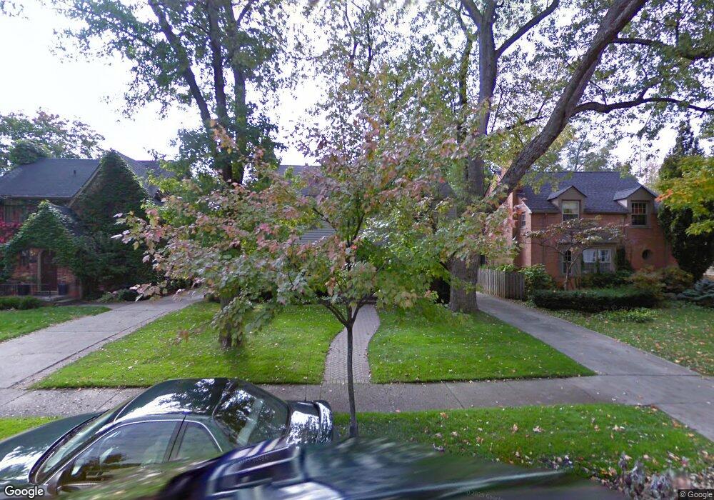
1805 Pine St Birmingham, MI 48009
Estimated Value: $895,001 - $1,143,000
3
Beds
3
Baths
2,204
Sq Ft
$461/Sq Ft
Est. Value
About This Home
This home is located at 1805 Pine St, Birmingham, MI 48009 and is currently estimated at $1,016,250, approximately $461 per square foot. 1805 Pine St is a home located in Oakland County with nearby schools including Quarton Elementary, Derby Middle School, and Ernest W. Seaholm High School.
Ownership History
Date
Name
Owned For
Owner Type
Purchase Details
Closed on
Mar 14, 2003
Sold by
Blancett Jeffrey W and Blancett Joan C
Bought by
Werner Scott M and Markowitz Carolyn
Current Estimated Value
Purchase Details
Closed on
May 30, 1996
Sold by
Scott Raymond E
Bought by
Kause John M
Home Financials for this Owner
Home Financials are based on the most recent Mortgage that was taken out on this home.
Original Mortgage
$240,500
Interest Rate
7.97%
Create a Home Valuation Report for This Property
The Home Valuation Report is an in-depth analysis detailing your home's value as well as a comparison with similar homes in the area
Home Values in the Area
Average Home Value in this Area
Purchase History
| Date | Buyer | Sale Price | Title Company |
|---|---|---|---|
| Werner Scott M | $595,000 | Devon Title Agency | |
| Kause John M | $253,200 | -- |
Source: Public Records
Mortgage History
| Date | Status | Borrower | Loan Amount |
|---|---|---|---|
| Previous Owner | Kause John M | $240,500 |
Source: Public Records
Tax History
| Year | Tax Paid | Tax Assessment Tax Assessment Total Assessment is a certain percentage of the fair market value that is determined by local assessors to be the total taxable value of land and additions on the property. | Land | Improvement |
|---|---|---|---|---|
| 2025 | $9,296 | $341,870 | $0 | $0 |
| 2024 | $8,441 | $300,200 | $0 | $0 |
| 2023 | $6,169 | $308,020 | $0 | $0 |
| 2022 | $7,328 | $281,740 | $0 | $0 |
| 2021 | $6,673 | $278,320 | $0 | $0 |
| 2020 | $5,945 | $265,020 | $0 | $0 |
| 2019 | $6,742 | $261,820 | $0 | $0 |
| 2018 | $6,677 | $259,390 | $0 | $0 |
| 2017 | $6,665 | $257,190 | $0 | $0 |
| 2016 | $6,678 | $255,440 | $0 | $0 |
| 2015 | -- | $240,620 | $0 | $0 |
| 2014 | -- | $208,600 | $0 | $0 |
| 2011 | -- | $143,290 | $0 | $0 |
Source: Public Records
Map
Nearby Homes
- 1882 Melbourne St
- 533 Westwood Dr
- 186 Westwood Dr
- 1120 Lyonhurst St
- 394 S Glenhurst Dr
- 1094 Suffield Ave
- 852 Puritan Ave
- 520 Pleasant St
- 2627 Bradway Blvd
- 0000 Larchlea Dr
- 576 Golfview Blvd
- 1183 Puritan Ave
- 592 Lakeside Dr
- 488 Bryn Mawr St
- 757 Woodlea Ct
- 1444 Fairfax St
- 830 Harmon St
- 862 S Glenhurst Dr
- 1450 Pilgrim Ave
- 750 Hazelwood St
- 1825 Pine St Unit Bldg-Unit
- 1825 Pine St
- 1791 Pine St Unit Bldg-Unit
- 1791 Pine St
- 1769 Pine St
- 1753 Pine St
- 1810 Winthrop Ln
- 1849 Pine St
- 1798 Winthrop Ln
- 1832 Winthrop Ln
- 1776 Winthrop Ln
- 1854 Winthrop Ln
- 1758 Winthrop Ln
- 1875 Pine St
- 1800 Pine St
- 1824 Pine St
- 1889 Pine St
- 1792 Pine St
- 1713 Pine St Unit Bldg-Unit
- 1713 Pine St
Your Personal Tour Guide
Ask me questions while you tour the home.