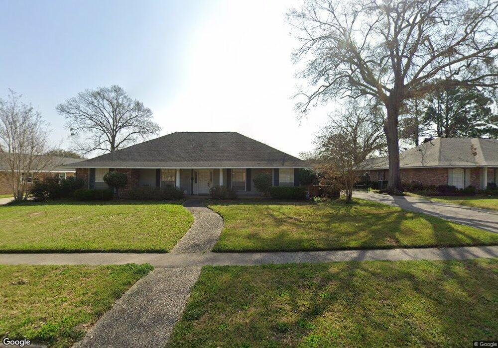
1805 Roseneath Dr Baton Rouge, LA 70806
Mid City South NeighborhoodEstimated Value: $380,294 - $448,000
4
Beds
3
Baths
2,645
Sq Ft
$159/Sq Ft
Est. Value
About This Home
This home is located at 1805 Roseneath Dr, Baton Rouge, LA 70806 and is currently estimated at $421,074, approximately $159 per square foot. 1805 Roseneath Dr is a home located in East Baton Rouge Parish with nearby schools including LaSalle Elementary School, Westdale Middle School, and Tara High School.
Ownership History
Date
Name
Owned For
Owner Type
Purchase Details
Closed on
Apr 22, 2016
Sold by
Wayne David Robert and Doiron David Glyn Marie
Bought by
Cuccia Michael Ryder and Cuccia Pamelia
Current Estimated Value
Home Financials for this Owner
Home Financials are based on the most recent Mortgage that was taken out on this home.
Original Mortgage
$256,000
Outstanding Balance
$203,376
Interest Rate
3.68%
Mortgage Type
New Conventional
Estimated Equity
$217,698
Create a Home Valuation Report for This Property
The Home Valuation Report is an in-depth analysis detailing your home's value as well as a comparison with similar homes in the area
Home Values in the Area
Average Home Value in this Area
Purchase History
| Date | Buyer | Sale Price | Title Company |
|---|---|---|---|
| Cuccia Michael Ryder | $320,000 | Attorney |
Source: Public Records
Mortgage History
| Date | Status | Borrower | Loan Amount |
|---|---|---|---|
| Open | Cuccia Michael Ryder | $256,000 |
Source: Public Records
Tax History Compared to Growth
Tax History
| Year | Tax Paid | Tax Assessment Tax Assessment Total Assessment is a certain percentage of the fair market value that is determined by local assessors to be the total taxable value of land and additions on the property. | Land | Improvement |
|---|---|---|---|---|
| 2024 | $3,069 | $32,000 | $3,000 | $29,000 |
| 2023 | $3,069 | $32,000 | $3,000 | $29,000 |
| 2022 | $3,931 | $32,000 | $3,000 | $29,000 |
| 2021 | $3,843 | $32,000 | $3,000 | $29,000 |
| 2020 | $3,819 | $32,000 | $3,000 | $29,000 |
| 2019 | $3,986 | $32,000 | $3,000 | $29,000 |
| 2018 | $3,938 | $32,000 | $3,000 | $29,000 |
| 2017 | $3,938 | $32,000 | $3,000 | $29,000 |
| 2016 | $3,065 | $32,000 | $3,000 | $29,000 |
| 2015 | $1,675 | $20,150 | $3,000 | $17,150 |
| 2014 | $1,570 | $20,150 | $3,000 | $17,150 |
| 2013 | -- | $20,150 | $3,000 | $17,150 |
Source: Public Records
Map
Nearby Homes
- TBD Old Hammond Hwy
- 1766 Shawn Dr
- 2169 Donray Dr
- 1478 Tara Blvd
- 8741 Marques Ln
- 8753 W Fairway Dr
- 2141 Cove Ct
- 8828 Trudeau Ave
- 8845 Tallyho Ave
- 1219 Carter Ave
- 8346 Barnett Dr
- 9023 Whitehall Ave
- 8345 Thurman Dr
- 1046 Colonial Dr
- 1025 Tara Blvd
- 8859 Bayside Ave
- 1834 Old Carriage Ln
- 8455 Kensington Dr
- 8591 Wakefield Ave
- 2156 E Contour Dr
- 1729 Roseneath Dr
- 1808 Beechgrove Dr
- 1715 Roseneath Dr
- 1827 Roseneath Dr
- 1808 Roseneath Dr
- 1816 Roseneath Dr
- 1736 Roseneath Dr
- 1724 Beechgrove Dr
- 1816 Beechgrove Dr
- 1707 Roseneath Dr
- 1824 Roseneath Dr
- 1835 Roseneath Dr
- 1722 Roseneath Dr
- 1832 Beechgrove Dr
- 1712 Beechgrove Dr
- 8462 Lasalle Ave
- 1832 Roseneath Dr
- 1859 Chevelle Dr
- 1839 Chevelle Dr
- 1879 Chevelle Dr
