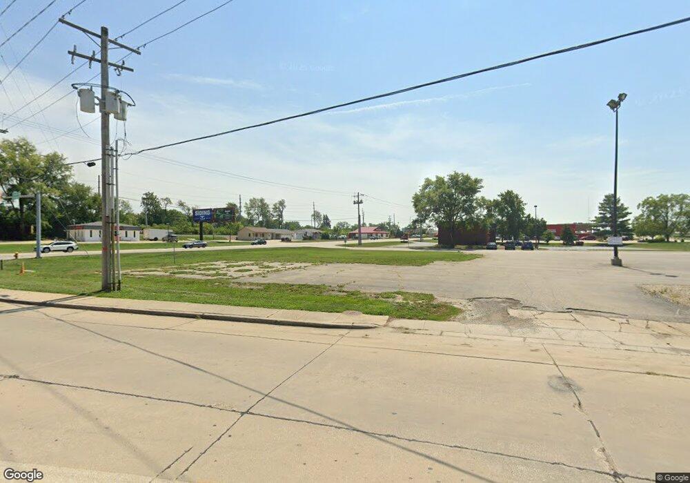
1805 S Neil St Champaign, IL 61820
Bolten Field NeighborhoodEstimated Value: $1,604,560
--
Bed
--
Bath
--
Sq Ft
1.01
Acres
About This Home
This home is located at 1805 S Neil St, Champaign, IL 61820 and is currently estimated at $1,604,560. 1805 S Neil St is a home located in Champaign County with nearby schools including Central High School, Devonshire KinderCare, and Montessori Habitat School.
Ownership History
Date
Name
Owned For
Owner Type
Purchase Details
Closed on
Jul 8, 2022
Sold by
Liautaud Development Group Llc
Bought by
Pierce Holdings Llc
Current Estimated Value
Home Financials for this Owner
Home Financials are based on the most recent Mortgage that was taken out on this home.
Original Mortgage
$208,362
Outstanding Balance
$82,777
Interest Rate
5.23%
Mortgage Type
New Conventional
Estimated Equity
$1,521,783
Purchase Details
Closed on
Mar 25, 2013
Sold by
Carlos Raudel
Bought by
Liautaud Development Group Llc
Create a Home Valuation Report for This Property
The Home Valuation Report is an in-depth analysis detailing your home's value as well as a comparison with similar homes in the area
Home Values in the Area
Average Home Value in this Area
Purchase History
| Date | Buyer | Sale Price | Title Company |
|---|---|---|---|
| Pierce Holdings Llc | $1,350,000 | None Listed On Document | |
| Liautaud Development Group Llc | $875,000 | None Available |
Source: Public Records
Mortgage History
| Date | Status | Borrower | Loan Amount |
|---|---|---|---|
| Open | Pierce Holdings Llc | $208,362 |
Source: Public Records
Tax History Compared to Growth
Tax History
| Year | Tax Paid | Tax Assessment Tax Assessment Total Assessment is a certain percentage of the fair market value that is determined by local assessors to be the total taxable value of land and additions on the property. | Land | Improvement |
|---|---|---|---|---|
| 2024 | $18,283 | $222,610 | $222,610 | -- |
| 2023 | $18,283 | $202,740 | $202,740 | $0 |
| 2022 | $17,199 | $187,030 | $187,030 | $0 |
| 2021 | $15,835 | $172,980 | $172,980 | $0 |
| 2020 | $15,860 | $172,980 | $172,980 | $0 |
| 2019 | $15,350 | $169,420 | $169,420 | $0 |
| 2018 | $15,005 | $166,750 | $166,750 | $0 |
| 2017 | $15,068 | $166,750 | $166,750 | $0 |
| 2016 | $13,509 | $163,320 | $163,320 | $0 |
| 2015 | $13,612 | $160,430 | $160,430 | $0 |
| 2014 | $13,496 | $160,430 | $160,430 | $0 |
| 2013 | $24,332 | $291,860 | $160,430 | $131,430 |
Source: Public Records
Map
Nearby Homes
- 810 Breen Dr
- 812 Dodds Dr
- 1919 Melrose Dr Unit 1919B
- 2007 S Prospect Ave
- 811 Hamilton Dr
- 508 Haines Blvd
- 32 Greencroft Dr
- 904 S Elm Blvd
- 21 Greencroft Dr
- 22 Colony Dr W
- 1007 S Locust St
- 7 McDonald Ct
- 2006 Galen Dr
- 7 Greencroft Dr
- 4 Stanford Place
- 3 Kent Ct
- 1202 Foothill Dr
- 6 Regent Ct
- 1106 W Kirby Ave
- 2119 Galen Dr
- 1711 S Neil St
- 1804 S Neil St
- 1809 S Neil St
- 1710 S Neil St
- 1713 S State St Unit 102
- 1713 S State St Unit 103
- 1713 S State St Unit 200
- 1713 S State St Unit 101
- 1713 S State St
- 1807 S Neil St
- 1707 S Neil St Unit 1
- 1817 S Neil St Unit 100
- 1817 S Neil St Unit 101
- 1817 S Neil St Unit 103
- 1817 S Neil St Unit 1
- 1817 S Neil St Unit 202
- 1817 S Neil St
- 1706 S State St
- 1821 S Neil St
- 1819 S Neil St Unit E