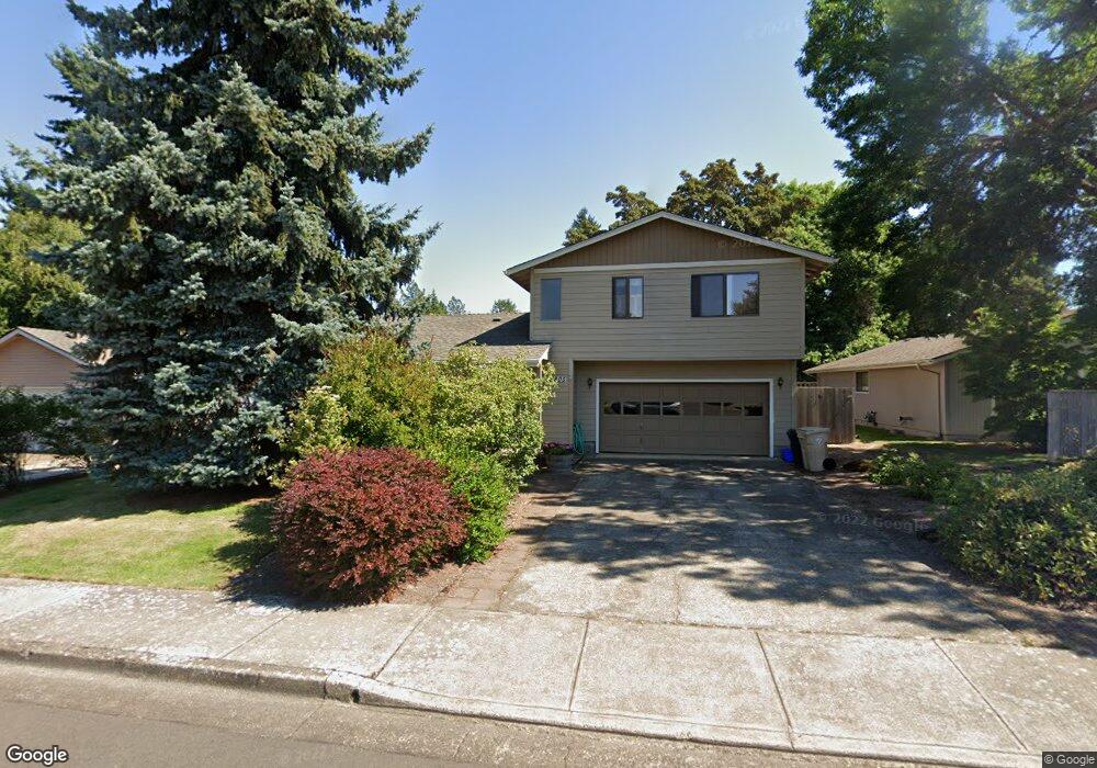
1805 SW Roth St Corvallis, OR 97333
Southwest Corvallis NeighborhoodEstimated Value: $490,000 - $857,000
4
Beds
4
Baths
2,643
Sq Ft
$242/Sq Ft
Est. Value
About This Home
This home is located at 1805 SW Roth St, Corvallis, OR 97333 and is currently estimated at $640,430, approximately $242 per square foot. 1805 SW Roth St is a home located in Benton County with nearby schools including Adams Elementary School, Linus Pauling Middle School, and Corvallis High School.
Ownership History
Date
Name
Owned For
Owner Type
Purchase Details
Closed on
Jul 10, 2018
Sold by
Spaulding Peter D and Spaulding Karen M
Bought by
Spaulding Peter D and Spaulding Karen M
Current Estimated Value
Purchase Details
Closed on
Apr 7, 2009
Sold by
Edmonds William F and William F Edmonds Revocable Tr
Bought by
Spaulding Peter D and Spaulding Karen M
Home Financials for this Owner
Home Financials are based on the most recent Mortgage that was taken out on this home.
Original Mortgage
$150,000
Interest Rate
5.06%
Mortgage Type
Purchase Money Mortgage
Create a Home Valuation Report for This Property
The Home Valuation Report is an in-depth analysis detailing your home's value as well as a comparison with similar homes in the area
Home Values in the Area
Average Home Value in this Area
Purchase History
| Date | Buyer | Sale Price | Title Company |
|---|---|---|---|
| Spaulding Peter D | -- | None Available | |
| Spaulding Peter D | $187,500 | First American Title |
Source: Public Records
Mortgage History
| Date | Status | Borrower | Loan Amount |
|---|---|---|---|
| Closed | Spaulding Peter D | $150,000 |
Source: Public Records
Tax History Compared to Growth
Tax History
| Year | Tax Paid | Tax Assessment Tax Assessment Total Assessment is a certain percentage of the fair market value that is determined by local assessors to be the total taxable value of land and additions on the property. | Land | Improvement |
|---|---|---|---|---|
| 2024 | $7,612 | $396,238 | -- | -- |
| 2023 | $5,814 | $312,048 | $0 | $0 |
| 2022 | $5,644 | $302,959 | $0 | $0 |
| 2021 | $5,457 | $294,135 | $0 | $0 |
| 2020 | $5,427 | $285,568 | $0 | $0 |
| 2019 | $4,919 | $277,250 | $0 | $0 |
| 2018 | $4,936 | $269,175 | $0 | $0 |
| 2017 | $4,437 | $261,335 | $0 | $0 |
| 2016 | $4,369 | $253,723 | $0 | $0 |
| 2015 | $4,248 | $246,333 | $0 | $0 |
| 2014 | $4,131 | $239,158 | $0 | $0 |
| 2012 | -- | $225,429 | $0 | $0 |
Source: Public Records
Map
Nearby Homes
- 1907 SW Brooklane Dr
- 2520 SW Whiteside Dr
- 3211 SW Hawkeye Ave
- 3559 SW Par Place
- 2604 SW Wolverine Dr
- 1080 SW 35th St
- 2632 SW Brooklane Dr
- 3475 SW Buckeye Place
- 865 SW Grove St
- 1125 SW Cole Place
- 2829 SW Wolverine Dr
- 3386 SW Badger Place
- 1750 SW Edging Dr
- 388 SW Butterfield Place
- 4149 SW Research Way
- 3871 SW Neer Ave
- 420 SW Wake Robin (-450) Ave
- 4624 SW 47th Place
- 192 SE Atwood Ave
- 4651 SW 47th Place
- 1795 SW Roth St
- 1815 SW Roth St
- 1804 SW Brooklane Dr
- 3090 SW Knollbrook Ave
- 3070 SW Knollbrook Ave
- 1790 SW Roth St
- 1837 SW Roth St
- 1845 SW Roth St
- 3102 SW Long Ave
- 1802 SW Brooklane Dr
- 3040 SW Knollbrook Ave
- 1824 SW Brooklane Dr
- 3125 SW Long Ave
- 3130 SW Long Ave
- 3110 SW Knollbrook Ave
- 3010 SW Knollbrook Ave
- 1880 SW Roth St
- 1865 SW Roth St
- 3089 SW Knollbrook Ave
- 3134 SW Knollbrook Ave