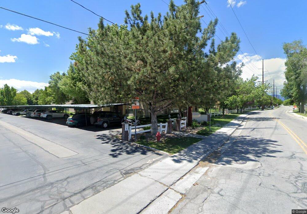
1805 W 7600 S Unit D203 West Jordan, UT 84084
Estimated Value: $301,000 - $312,000
3
Beds
2
Baths
1,100
Sq Ft
$280/Sq Ft
Est. Value
About This Home
This home is located at 1805 W 7600 S Unit D203, West Jordan, UT 84084 and is currently estimated at $308,265, approximately $280 per square foot. 1805 W 7600 S Unit D203 is a home located in Salt Lake County with nearby schools including Majestic Elementary Arts Academy, West Jordan Middle School, and West Jordan High School.
Ownership History
Date
Name
Owned For
Owner Type
Purchase Details
Closed on
Apr 5, 2022
Sold by
Patricia Bangerter
Bought by
Patricia A Bangerter Family Trust
Current Estimated Value
Purchase Details
Closed on
Aug 12, 2019
Sold by
Bangerter Patricia and Bangerter Kathy
Bought by
Bangerter Patricia
Home Financials for this Owner
Home Financials are based on the most recent Mortgage that was taken out on this home.
Original Mortgage
$139,000
Interest Rate
3.7%
Mortgage Type
New Conventional
Purchase Details
Closed on
Jun 1, 2015
Sold by
Mardis Aaron A and Mardis Ariane H
Bought by
Sekona Sosaia K
Home Financials for this Owner
Home Financials are based on the most recent Mortgage that was taken out on this home.
Original Mortgage
$120,528
Interest Rate
3.75%
Mortgage Type
FHA
Purchase Details
Closed on
Aug 31, 2009
Sold by
Tenney Warren R
Bought by
Mardis Aaron A and Mardis Ariane H
Home Financials for this Owner
Home Financials are based on the most recent Mortgage that was taken out on this home.
Original Mortgage
$115,862
Interest Rate
5.18%
Mortgage Type
FHA
Purchase Details
Closed on
Jul 28, 2004
Sold by
Taylor Kenneth Howard
Bought by
Tenney Warren R
Home Financials for this Owner
Home Financials are based on the most recent Mortgage that was taken out on this home.
Original Mortgage
$70,000
Interest Rate
5.87%
Mortgage Type
Purchase Money Mortgage
Purchase Details
Closed on
Feb 25, 2002
Sold by
Taylor Kenneth Howard
Bought by
Taylor Kenneth Howard
Home Financials for this Owner
Home Financials are based on the most recent Mortgage that was taken out on this home.
Original Mortgage
$70,000
Interest Rate
6.8%
Mortgage Type
Balloon
Purchase Details
Closed on
May 8, 1997
Sold by
Wla Arcon Inc
Bought by
Taylor Kenneth Howard
Home Financials for this Owner
Home Financials are based on the most recent Mortgage that was taken out on this home.
Original Mortgage
$72,700
Interest Rate
7.98%
Create a Home Valuation Report for This Property
The Home Valuation Report is an in-depth analysis detailing your home's value as well as a comparison with similar homes in the area
Home Values in the Area
Average Home Value in this Area
Purchase History
| Date | Buyer | Sale Price | Title Company |
|---|---|---|---|
| Patricia A Bangerter Family Trust | -- | Crocker Law Office | |
| Bangerter Patricia | -- | North American Title Llc | |
| Sekona Sosaia K | -- | Founders Title | |
| Mardis Aaron A | -- | Bonneville Superior Title | |
| Tenney Warren R | -- | Equity Title | |
| Taylor Kenneth Howard | -- | First American Title | |
| Taylor Kenneth Howard | -- | -- |
Source: Public Records
Mortgage History
| Date | Status | Borrower | Loan Amount |
|---|---|---|---|
| Previous Owner | Bangerter Patricia | $139,000 | |
| Previous Owner | Sekona Sosaia K | $120,528 | |
| Previous Owner | Mardis Aaron A | $115,862 | |
| Previous Owner | Tenney Warren R | $70,000 | |
| Previous Owner | Taylor Kenneth Howard | $70,000 | |
| Previous Owner | Taylor Kenneth Howard | $72,700 | |
| Closed | Tenney Warren R | $17,500 |
Source: Public Records
Tax History Compared to Growth
Tax History
| Year | Tax Paid | Tax Assessment Tax Assessment Total Assessment is a certain percentage of the fair market value that is determined by local assessors to be the total taxable value of land and additions on the property. | Land | Improvement |
|---|---|---|---|---|
| 2025 | $1,506 | $292,000 | $87,600 | $204,400 |
| 2024 | $1,506 | $289,700 | $86,900 | $202,800 |
| 2023 | $1,512 | $274,100 | $82,200 | $191,900 |
| 2022 | $1,604 | $286,100 | $85,800 | $200,300 |
| 2021 | $1,207 | $196,000 | $58,800 | $137,200 |
| 2020 | $1,146 | $174,700 | $52,400 | $122,300 |
| 2019 | $1,069 | $159,700 | $47,900 | $111,800 |
| 2018 | $948 | $140,500 | $42,100 | $98,400 |
| 2017 | $867 | $128,000 | $38,400 | $89,600 |
| 2016 | $820 | $113,700 | $34,100 | $79,600 |
| 2015 | $801 | $108,300 | $32,400 | $75,900 |
| 2014 | -- | $107,200 | $32,100 | $75,100 |
Source: Public Records
Map
Nearby Homes
- 1805 W 7600 S Unit D204
- 1801 W 7600 S Unit C201
- 1817 W 7600 S Unit I204
- 1829 W 7600 S Unit G301
- 7693 S Redwood Rd
- 7645 S 1960 W
- 1678 Leland Dr
- 7657 Sunrise Place E
- 2062 W 7705 S
- 2169 W 7600 S
- 1516 W 7470 S
- 1718 W Trey Way Unit 2
- 7279 S Kenadi Ct
- 8155 S Redwood Rd Unit 88
- 8155 S Redwood Rd Unit 142B
- 8155 S Redwood Rd Unit 95
- 8155 S Redwood Rd Unit 28
- 2386 W 7680 S
- 1790 W Sugar Factory Rd
- 1607 W Beamon St
- 1805 W 7600 S Unit D302
- 1805 W 7600 S Unit D304
- 1805 W 7600 S Unit D202
- 1805 W 7600 S Unit D104
- 1805 W 7600 S Unit D103
- 1805 W 7600 S Unit D102
- 1805 W 7600 S Unit D201
- 1805 W 7600 S Unit D101
- 1805 W 7600 S Unit D303
- 1805 W 7600 S Unit D301
- 1805 W 7600 S
- 1805 W 7600 S Unit D101
- 1809 W 7600 S Unit E301
- 1809 W 7600 S Unit E304
- 1809 W 7600 S Unit E202
- 1809 W 7600 S Unit E204
- 1809 W 7600 S Unit E101
- 1809 W 7600 S Unit E103
- 1809 W 7600 S Unit E302
- 1809 W 7600 S Unit E203