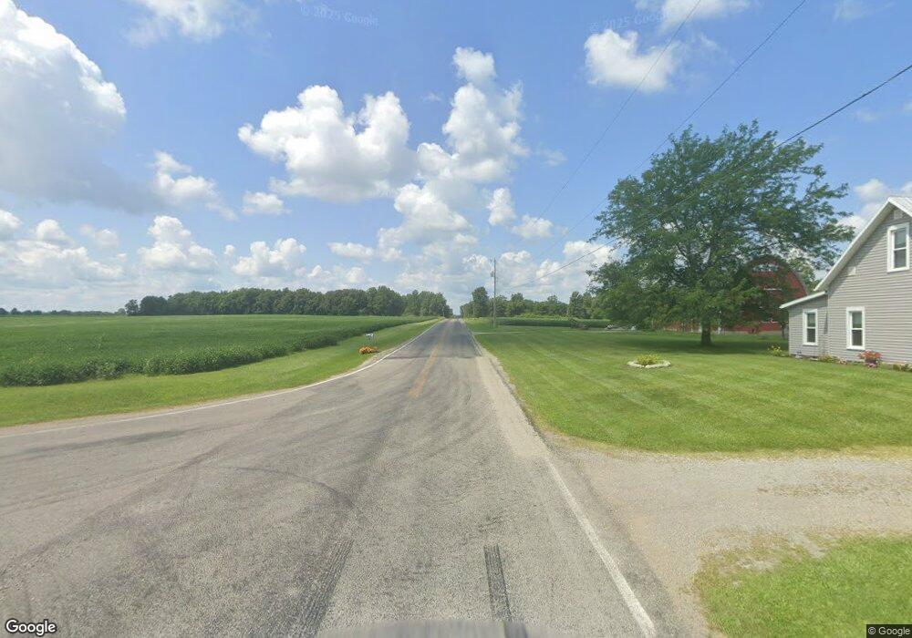
1805 W State Route 29 Urbana, OH 43078
Estimated Value: $237,000 - $401,147
3
Beds
4
Baths
1,848
Sq Ft
$186/Sq Ft
Est. Value
About This Home
This home is located at 1805 W State Route 29, Urbana, OH 43078 and is currently estimated at $344,287, approximately $186 per square foot. 1805 W State Route 29 is a home located in Champaign County with nearby schools including West Liberty-Salem Elementary School, West Liberty-Salem Middle School, and West Liberty-Salem Middle/High School.
Ownership History
Date
Name
Owned For
Owner Type
Purchase Details
Closed on
Dec 15, 2023
Sold by
Leopard Family Irrevocable Trust
Bought by
Bloemhard Nichole M and Kaufman John L
Current Estimated Value
Home Financials for this Owner
Home Financials are based on the most recent Mortgage that was taken out on this home.
Original Mortgage
$270,000
Interest Rate
7.5%
Mortgage Type
New Conventional
Purchase Details
Closed on
Jan 10, 2023
Sold by
Brown Shirley and Brown Robert
Bought by
Leopard Family Irrevocable Trust
Create a Home Valuation Report for This Property
The Home Valuation Report is an in-depth analysis detailing your home's value as well as a comparison with similar homes in the area
Home Values in the Area
Average Home Value in this Area
Purchase History
| Date | Buyer | Sale Price | Title Company |
|---|---|---|---|
| Bloemhard Nichole M | -- | None Listed On Document | |
| Bloemhard Nichole M | -- | None Listed On Document | |
| Leopard Family Irrevocable Trust | -- | City Title |
Source: Public Records
Mortgage History
| Date | Status | Borrower | Loan Amount |
|---|---|---|---|
| Closed | Bloemhard Nichole M | $270,000 |
Source: Public Records
Tax History Compared to Growth
Tax History
| Year | Tax Paid | Tax Assessment Tax Assessment Total Assessment is a certain percentage of the fair market value that is determined by local assessors to be the total taxable value of land and additions on the property. | Land | Improvement |
|---|---|---|---|---|
| 2024 | $3,820 | $101,090 | $16,430 | $84,660 |
| 2023 | $3,820 | $101,870 | $16,430 | $85,440 |
| 2022 | $3,532 | $101,870 | $16,430 | $85,440 |
| 2021 | $2,950 | $81,490 | $13,140 | $68,350 |
| 2020 | $2,950 | $81,490 | $13,140 | $68,350 |
| 2019 | $2,914 | $81,490 | $13,140 | $68,350 |
| 2018 | $2,462 | $71,020 | $12,440 | $58,580 |
| 2017 | $2,427 | $71,020 | $12,440 | $58,580 |
| 2016 | $2,353 | $71,020 | $12,440 | $58,580 |
| 2015 | $2,118 | $68,260 | $12,440 | $55,820 |
| 2014 | $2,120 | $68,260 | $12,440 | $55,820 |
| 2013 | $2,101 | $68,260 | $12,440 | $55,820 |
Source: Public Records
Map
Nearby Homes
- 0 Millerstown Rd
- 00 Millerstown Rd
- 734 Emmalyn Ave
- 728 N Oakland St
- 723 N Russell St
- 0 Ohio 296
- 922 W Court St
- 1123 Miami St
- 241 Louden St
- 1010 W Herr Rd
- 242 Laurel Oak St
- 129 Gwynne St
- 234 Laurel Oak St
- 0 Laurel Oak St Unit 225013949
- 0 Laurel Oak St Unit 1038292
- 206 Lincoln Place
- 311 W Church St
- 306 W Court St
- 501 Boyce St
- 603 E Light St
- 1843 W State Route 29
- 1814 W State Route 29
- 1763 W State Route 29
- 1828 W State Route 29
- 1840 W State Route 29
- 1840 Ohio 29
- 1849 W State Route 29
- 1850 Ohio 29
- 1749 W State Route 29
- 1810 W State Route 29
- 1857 W State Route 29
- 1794 W State Route 29
- 1727 W State Route 29
- 1736 W State Route 29
- 1736 W St Rte 29
- 1883 W State Route 29
- 1865 W State Route 29
- 1710 W State Route 29
- 1700 W State Route 29
- 1685 W State Route 29