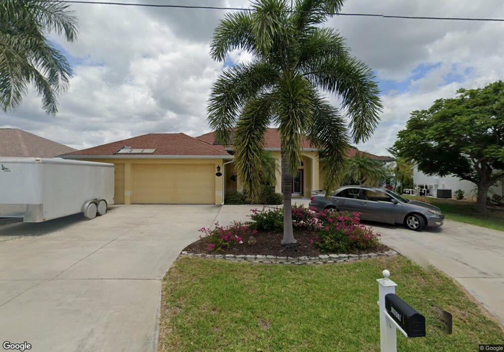
18050 Avonsdale Cir Port Charlotte, FL 33948
Estimated Value: $463,000 - $622,000
3
Beds
2
Baths
1,894
Sq Ft
$285/Sq Ft
Est. Value
About This Home
This home is located at 18050 Avonsdale Cir, Port Charlotte, FL 33948 and is currently estimated at $540,250, approximately $285 per square foot. 18050 Avonsdale Cir is a home located in Charlotte County with nearby schools including Meadow Park Elementary School, Murdock Middle School, and Port Charlotte High School.
Ownership History
Date
Name
Owned For
Owner Type
Purchase Details
Closed on
Sep 2, 2011
Sold by
Spring Charles D and Spring Gale J
Bought by
Spring Gale J and Gale H Spring Revocable Trust
Current Estimated Value
Purchase Details
Closed on
Mar 22, 2005
Sold by
Correia Charles
Bought by
Spring Charles D and Spring Gale J
Purchase Details
Closed on
Oct 7, 2003
Sold by
Hayes Timothy I and Hayes Timothy
Bought by
Correia Charles
Home Financials for this Owner
Home Financials are based on the most recent Mortgage that was taken out on this home.
Original Mortgage
$217,150
Interest Rate
6.45%
Purchase Details
Closed on
Oct 17, 2001
Sold by
Haderer Thomas G and Haderer Marybeth
Bought by
Hayes Timothy
Home Financials for this Owner
Home Financials are based on the most recent Mortgage that was taken out on this home.
Original Mortgage
$35,000
Interest Rate
6.85%
Create a Home Valuation Report for This Property
The Home Valuation Report is an in-depth analysis detailing your home's value as well as a comparison with similar homes in the area
Home Values in the Area
Average Home Value in this Area
Purchase History
| Date | Buyer | Sale Price | Title Company |
|---|---|---|---|
| Spring Gale J | -- | Attorney | |
| Spring Charles D | $475,000 | Gulf Coast Title Insurance A | |
| Correia Charles | $90,000 | -- | |
| Hayes Timothy | $37,000 | -- |
Source: Public Records
Mortgage History
| Date | Status | Borrower | Loan Amount |
|---|---|---|---|
| Previous Owner | Correia Charles | $217,150 | |
| Previous Owner | Hayes Timothy | $35,000 |
Source: Public Records
Tax History Compared to Growth
Tax History
| Year | Tax Paid | Tax Assessment Tax Assessment Total Assessment is a certain percentage of the fair market value that is determined by local assessors to be the total taxable value of land and additions on the property. | Land | Improvement |
|---|---|---|---|---|
| 2023 | $4,037 | $243,035 | $0 | $0 |
| 2022 | $4,273 | $262,293 | $0 | $0 |
| 2021 | $4,282 | $254,653 | $0 | $0 |
| 2020 | $4,218 | $251,137 | $0 | $0 |
| 2019 | $4,105 | $245,491 | $0 | $0 |
| 2018 | $3,809 | $240,914 | $0 | $0 |
| 2017 | $3,779 | $235,959 | $42,500 | $193,459 |
| 2016 | $3,975 | $240,680 | $0 | $0 |
| 2015 | $3,987 | $239,007 | $0 | $0 |
| 2014 | $3,950 | $236,878 | $0 | $0 |
Source: Public Records
Map
Nearby Homes
- 18053 Ohara Dr
- 18069 Ohara Dr
- 18037 Ohara Dr
- 18019 Avonsdale Cir
- 18085 Ohara Dr
- 18106 Avonsdale Cir
- 18093 Ohara Dr
- 18020 Ohara Dr
- 5035 Collingswood Blvd
- 18076 Ohara Dr
- 18091 Eau Gallie Cir
- 4468 Sutlive St
- 18326 Van Nuys Cir
- 5117 Collingswood Blvd
- 18318 Van Nuys Cir
- 4440 Tatum St
- 18311 Van Nuys Cir
- 18237 Bracken Cir
- 4441 Collingswood Blvd
- 18189 Ohara Dr
- 18058 Avonsdale Cir
- 18243 Avonsdale Cir
- 18034 Avonsdale Cir
- 18210 Avonsdale Cir
- 18066 Avonsdale Cir
- 18059 Avonsdale Cir
- 18043 Avonsdale Cir
- 18045 Ohara Dr
- 18061 Ohara Dr
- 18074 Avonsdale Cir
- 18035 Avonsdale Cir
- 18026 Avonsdale Cir
- 18077 Ohara Dr
- 18029 Ohara Dr
- 18211 Avonsdale Cir
- 18195 Avonsdale Cir
- 18018 Avonsdale Cir
- 18219 Avonsdale Cir
- 18187 Avonsdale Cir
- 18090 Avonsdale Cir