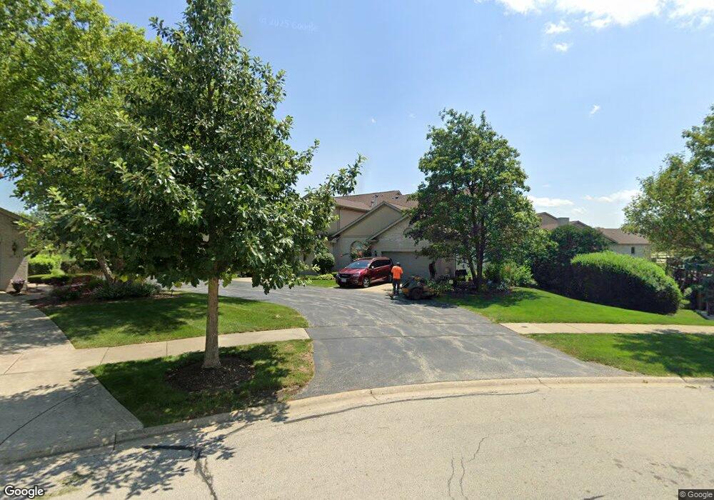
18053 Upland Dr Unit 18053 Tinley Park, IL 60487
Central Tinley Park NeighborhoodEstimated Value: $364,933 - $395,000
2
Beds
3
Baths
1,874
Sq Ft
$202/Sq Ft
Est. Value
About This Home
This home is located at 18053 Upland Dr Unit 18053, Tinley Park, IL 60487 and is currently estimated at $378,483, approximately $201 per square foot. 18053 Upland Dr Unit 18053 is a home located in Cook County with nearby schools including Christa Mcauliffe School, Prairie View Middle School, and Victor J Andrew High School.
Ownership History
Date
Name
Owned For
Owner Type
Purchase Details
Closed on
Aug 1, 2008
Sold by
Vanek Thomas J and Vanek Karleen P
Bought by
Vanek Thomas J and Vanek Karleen P
Current Estimated Value
Purchase Details
Closed on
Jun 14, 2002
Sold by
Republic Bank Of Chicago
Bought by
Vanek Thomas J and Vanek Karleen P
Home Financials for this Owner
Home Financials are based on the most recent Mortgage that was taken out on this home.
Original Mortgage
$150,000
Interest Rate
6.91%
Mortgage Type
Balloon
Create a Home Valuation Report for This Property
The Home Valuation Report is an in-depth analysis detailing your home's value as well as a comparison with similar homes in the area
Home Values in the Area
Average Home Value in this Area
Purchase History
| Date | Buyer | Sale Price | Title Company |
|---|---|---|---|
| Vanek Thomas J | -- | None Available | |
| Vanek Thomas J | $250,000 | -- |
Source: Public Records
Mortgage History
| Date | Status | Borrower | Loan Amount |
|---|---|---|---|
| Closed | Vanek Thomas J | $150,000 |
Source: Public Records
Tax History Compared to Growth
Tax History
| Year | Tax Paid | Tax Assessment Tax Assessment Total Assessment is a certain percentage of the fair market value that is determined by local assessors to be the total taxable value of land and additions on the property. | Land | Improvement |
|---|---|---|---|---|
| 2024 | $6,950 | $31,000 | $3,033 | $27,967 |
| 2023 | $5,851 | $31,000 | $3,033 | $27,967 |
| 2022 | $5,851 | $22,571 | $2,617 | $19,954 |
| 2021 | $5,719 | $22,569 | $2,616 | $19,953 |
| 2020 | $7,585 | $22,569 | $2,616 | $19,953 |
| 2019 | $6,739 | $26,953 | $2,379 | $24,574 |
| 2018 | $6,592 | $26,953 | $2,379 | $24,574 |
| 2017 | $6,450 | $26,953 | $2,379 | $24,574 |
| 2016 | $5,581 | $21,084 | $2,141 | $18,943 |
| 2015 | $5,450 | $21,084 | $2,141 | $18,943 |
| 2014 | $5,434 | $21,084 | $2,141 | $18,943 |
| 2013 | $5,857 | $23,901 | $2,141 | $21,760 |
Source: Public Records
Map
Nearby Homes
- 18055 Upland Dr
- 17964 Upland Dr
- 18248 Murphy Cir Unit 182
- 9058 Newcastle Ct
- 9038 Mansfield Dr Unit 8
- 9313 178th St
- 9051 Mansfield Dr Unit 1
- 17500 Lagrange Rd
- 9280 Windsor Pkwy Unit 92
- 9260 Windsor Pkwy Unit 80
- 17533 Pecan Ln
- 17535 S La Grange Rd
- 17535-2 Lagrange Rd
- 9201 175th St
- 9334 Drummond Dr Unit 3
- 17631 Dover Ct
- Fremont Plan at Radcliffe Place
- Calysta Plan at Radcliffe Place
- Danbury Plan at Radcliffe Place
- Briarcliffe Plan at Radcliffe Place
- 18051 Upland Dr
- 18049 Upland Dr
- 18111 Edgar Place
- 18113 Edgar Place
- 18113 Edgar Place
- 18115 Edgar Place
- 18121 Edgar Place
- 18047 Upland Dr
- 18123 Edgar Place
- 18125 Edgar Place
- 18046 Upland Dr Unit 18046
- 18127 Edgar Place
- 18043 Upland Dr Unit 18043
- 18044 Upland Dr
- 18042 Upland Dr Unit 18042
- 18041 Upland Dr Unit 18041
- 18133 Edgar Place
- 18040 Upland Dr
- 18110 Edgar Place
- 18112 Edgar Place