18056 Mccord Rd Elkins, AR 72727
Estimated Value: $159,097 - $204,000
3
Beds
1
Bath
1,248
Sq Ft
$149/Sq Ft
Est. Value
About This Home
This home is located at 18056 Mccord Rd, Elkins, AR 72727 and is currently estimated at $185,524, approximately $148 per square foot. 18056 Mccord Rd is a home located in Washington County with nearby schools including Elkins Elementary Primary School, Elkins Elementary School, and Elkins Middle School.
Ownership History
Date
Name
Owned For
Owner Type
Purchase Details
Closed on
Sep 29, 2010
Sold by
Federal National Mortgage Association
Bought by
Williams Janell Rose
Current Estimated Value
Purchase Details
Closed on
May 10, 2010
Sold by
Arvest Mortgage Company
Bought by
Federal National Mortgage Association
Purchase Details
Closed on
Apr 14, 1988
Bought by
Johnson Douglas G and Johnson Mary A
Purchase Details
Closed on
Jan 1, 1985
Bought by
Baker Carl and Baker Verda
Create a Home Valuation Report for This Property
The Home Valuation Report is an in-depth analysis detailing your home's value as well as a comparison with similar homes in the area
Home Values in the Area
Average Home Value in this Area
Purchase History
| Date | Buyer | Sale Price | Title Company |
|---|---|---|---|
| Williams Janell Rose | -- | None Available | |
| Federal National Mortgage Association | -- | None Available | |
| Johnson Douglas G | $25,000 | -- | |
| Baker Carl | -- | -- |
Source: Public Records
Tax History Compared to Growth
Tax History
| Year | Tax Paid | Tax Assessment Tax Assessment Total Assessment is a certain percentage of the fair market value that is determined by local assessors to be the total taxable value of land and additions on the property. | Land | Improvement |
|---|---|---|---|---|
| 2025 | $271 | $21,910 | $3,500 | $18,410 |
| 2024 | $333 | $21,910 | $3,500 | $18,410 |
| 2023 | $389 | $21,910 | $3,500 | $18,410 |
| 2022 | $445 | $17,560 | $4,600 | $12,960 |
| 2021 | $412 | $17,560 | $4,600 | $12,960 |
| 2020 | $378 | $17,560 | $4,600 | $12,960 |
| 2019 | $347 | $13,350 | $3,500 | $9,850 |
| 2018 | $372 | $13,350 | $3,500 | $9,850 |
| 2017 | $320 | $13,350 | $3,500 | $9,850 |
| 2016 | $365 | $13,350 | $3,500 | $9,850 |
| 2015 | $365 | $13,350 | $3,500 | $9,850 |
| 2014 | $358 | $13,200 | $3,000 | $10,200 |
Source: Public Records
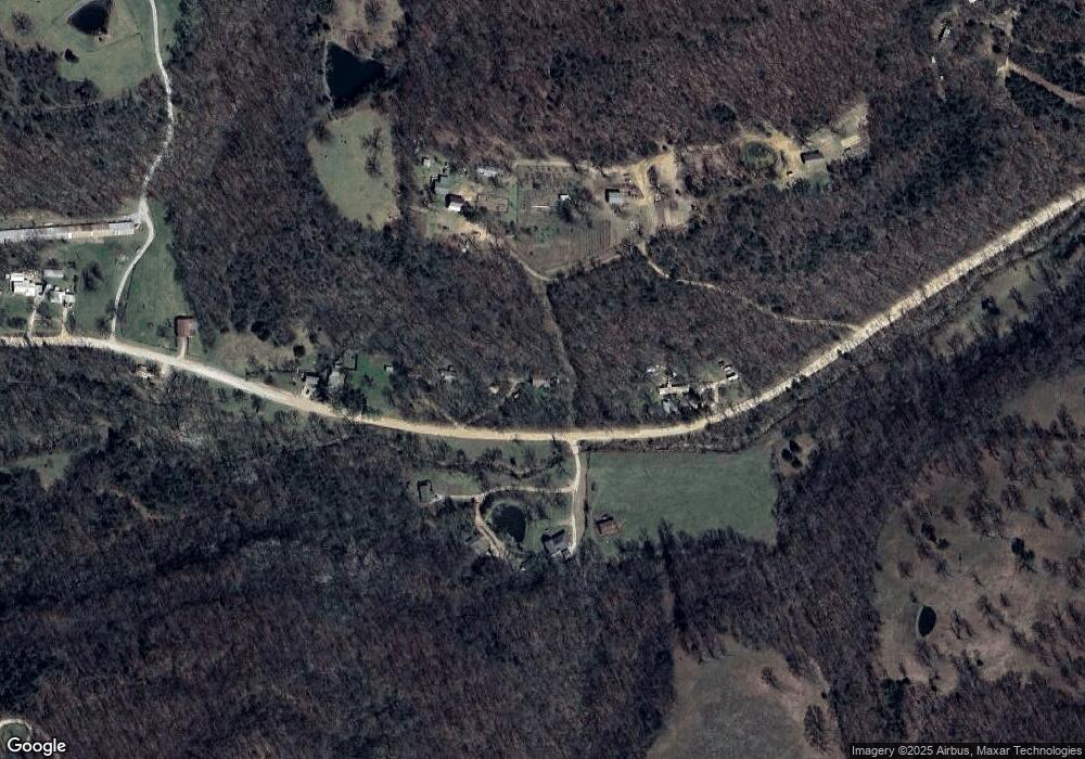
Map
Nearby Homes
- 11724 Brubaker Rd
- 0 Trace Branch Rd Unit 1293042
- 12812 Parker Branch Rd
- 19105 Feather Hill Rd
- 10088 S Whitehouse Rd
- 10030 N Whitehouse Rd
- 12016 Snake Branch Rd
- 20553 Durham McCord Rd
- 14206 Parker Branch Rd
- 14477 Hazel Valley Rd
- Tract 3a Downing Rd
- Tract 1a Downing Rd
- Tract 2b Downing Rd
- Tract 2a Downing Rd
- Tract 1b Downing Rd
- 503 Jason St
- 607 Jason St
- 517 Jason St
- 2107 Madison 4097
- 10703 Thunder Rd
- 18052 Mccord Rd
- 18160 Mccord Rd
- 18103 Mccord Rd
- 18097 Mccord Rd
- 18206 Mccord Rd
- 18206 Mccord Rd
- 17850 Mccord Rd
- 17980 Mccord Rd
- TBD Mccord Rd
- 12300 S Whitehouse Rd
- 18451 Mccord Rd
- 18475 Mccord Rd
- 12398 S Whitehouse Rd
- 12300 S Whitehouse South Rd
- 18494 Mccord Rd
- 18477 Mccord Rd
- 12398 S Whitehouse Rd
- 18490 Mccord Rd
- 12397 S Whitehouse Rd
- 12488 S Whitehouse Rd