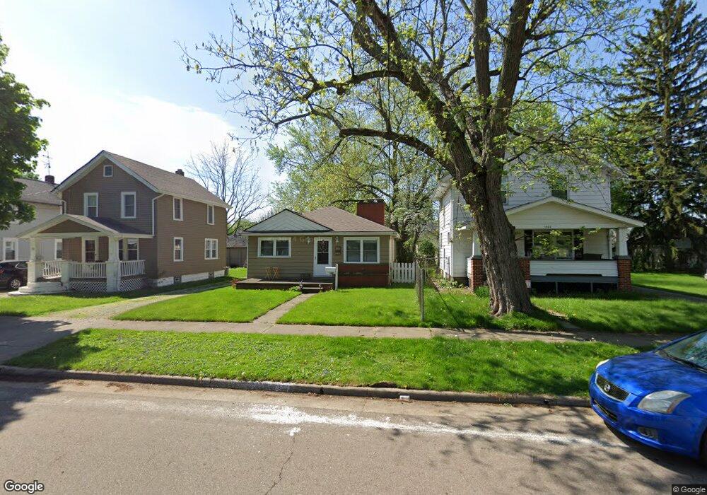
1806 Adelaide Blvd Akron, OH 44305
Goodyear Heights NeighborhoodEstimated Value: $122,000 - $135,000
3
Beds
1
Bath
1,144
Sq Ft
$112/Sq Ft
Est. Value
About This Home
This home is located at 1806 Adelaide Blvd, Akron, OH 44305 and is currently estimated at $128,308, approximately $112 per square foot. 1806 Adelaide Blvd is a home located in Summit County with nearby schools including Seiberling Community Learning Center, Akron Preparatory school, and Middlebury Academy.
Ownership History
Date
Name
Owned For
Owner Type
Purchase Details
Closed on
Dec 30, 2005
Sold by
Shields Charles L and Shields Scott D
Bought by
Masters James T
Current Estimated Value
Home Financials for this Owner
Home Financials are based on the most recent Mortgage that was taken out on this home.
Original Mortgage
$75,100
Outstanding Balance
$42,586
Interest Rate
6.42%
Mortgage Type
Fannie Mae Freddie Mac
Estimated Equity
$85,722
Purchase Details
Closed on
Oct 3, 2005
Sold by
Meida King Roxanne and King Steven Patrick
Bought by
Shields Charles L and Shields Scott D
Create a Home Valuation Report for This Property
The Home Valuation Report is an in-depth analysis detailing your home's value as well as a comparison with similar homes in the area
Home Values in the Area
Average Home Value in this Area
Purchase History
| Date | Buyer | Sale Price | Title Company |
|---|---|---|---|
| Masters James T | $75,100 | Multiple | |
| Shields Charles L | -- | Multiple |
Source: Public Records
Mortgage History
| Date | Status | Borrower | Loan Amount |
|---|---|---|---|
| Open | Masters James T | $75,100 |
Source: Public Records
Tax History
| Year | Tax Paid | Tax Assessment Tax Assessment Total Assessment is a certain percentage of the fair market value that is determined by local assessors to be the total taxable value of land and additions on the property. | Land | Improvement |
|---|---|---|---|---|
| 2024 | $1,749 | $32,715 | $7,070 | $25,645 |
| 2023 | $1,749 | $32,715 | $7,070 | $25,645 |
| 2022 | $1,553 | $22,698 | $4,778 | $17,920 |
| 2021 | $1,554 | $22,698 | $4,778 | $17,920 |
| 2020 | $1,531 | $22,700 | $4,780 | $17,920 |
| 2019 | $1,493 | $20,090 | $4,980 | $15,110 |
| 2018 | $1,474 | $20,090 | $4,980 | $15,110 |
| 2017 | $1,497 | $20,090 | $4,980 | $15,110 |
| 2016 | $1,498 | $20,090 | $4,980 | $15,110 |
| 2015 | $1,497 | $20,090 | $4,980 | $15,110 |
| 2014 | $1,485 | $20,090 | $4,980 | $15,110 |
| 2013 | $1,408 | $19,410 | $4,980 | $14,430 |
Source: Public Records
Map
Nearby Homes
- 1837 Marks Ave
- 1874 Adelaide Blvd
- 1551 Preston Ave
- 153 Cutler Pkwy
- 1581 Hillside Terrace
- 167 Pioneer St
- 248 Malacca St
- 1578 Pilgrim St
- 291 Malacca St
- 20 Verdun Dr
- 295 Goodview Ave
- 111 Akers Ave
- 1442 Hillside Terrace
- 1991-1993 Congo St
- 310 Vaniman St
- 1438 Newton St
- 82 Detroit St
- 465 Saint Leger Ave
- 320 Para Ave
- 1268 Pondview Ave
- 1802 Adelaide Blvd
- 1810 Adelaide Blvd
- 1814 Adelaide Blvd
- 1794 Adelaide Blvd
- 1805 Flint Ave
- 1818 Adelaide Blvd
- 1809 Flint Ave
- 1801 Flint Ave
- 1813 Flint Ave
- 1797 Flint Ave
- 1790 Adelaide Blvd
- 1822 Adelaide Blvd
- 1793 Flint Ave
- 1805 Adelaide Blvd
- 1809 Adelaide Blvd
- 1801 Adelaide Blvd
- 1789 Flint Ave
- 1786 Adelaide Blvd
- 1797 Adelaide Blvd
- 1821 Flint Ave
Your Personal Tour Guide
Ask me questions while you tour the home.