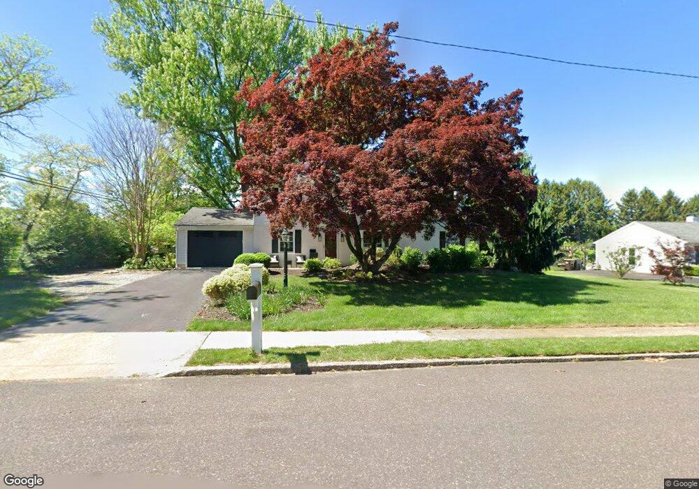
1806 Clinton Rd Norristown, PA 19403
West Norriton Township NeighborhoodEstimated Value: $489,559 - $510,000
5
Beds
3
Baths
2,351
Sq Ft
$213/Sq Ft
Est. Value
About This Home
This home is located at 1806 Clinton Rd, Norristown, PA 19403 and is currently estimated at $499,890, approximately $212 per square foot. 1806 Clinton Rd is a home located in Montgomery County with nearby schools including Whitehall Elementary School, Charles Blockson Middle School, and East Norriton Middle School.
Ownership History
Date
Name
Owned For
Owner Type
Purchase Details
Closed on
Jan 24, 2022
Sold by
Shawn Mcgoldrick
Bought by
Tanis Justin and Tams Carlyn
Current Estimated Value
Home Financials for this Owner
Home Financials are based on the most recent Mortgage that was taken out on this home.
Original Mortgage
$335,000
Outstanding Balance
$311,073
Interest Rate
3.55%
Mortgage Type
Balloon
Estimated Equity
$188,817
Purchase Details
Closed on
Jan 1, 1969
Bought by
Mcgoldrick Robert T and Mcgoldrick Nancy L
Create a Home Valuation Report for This Property
The Home Valuation Report is an in-depth analysis detailing your home's value as well as a comparison with similar homes in the area
Home Values in the Area
Average Home Value in this Area
Purchase History
| Date | Buyer | Sale Price | Title Company |
|---|---|---|---|
| Tanis Justin | $395,000 | Land Services Usa Inc | |
| Mcgoldrick Robert T | -- | -- |
Source: Public Records
Mortgage History
| Date | Status | Borrower | Loan Amount |
|---|---|---|---|
| Open | Tanis Justin | $335,000 |
Source: Public Records
Tax History Compared to Growth
Tax History
| Year | Tax Paid | Tax Assessment Tax Assessment Total Assessment is a certain percentage of the fair market value that is determined by local assessors to be the total taxable value of land and additions on the property. | Land | Improvement |
|---|---|---|---|---|
| 2025 | $7,390 | $151,260 | $45,640 | $105,620 |
| 2024 | $7,390 | $151,260 | $45,640 | $105,620 |
| 2023 | $7,307 | $151,260 | $45,640 | $105,620 |
| 2022 | $7,259 | $151,260 | $45,640 | $105,620 |
| 2021 | $7,215 | $151,260 | $45,640 | $105,620 |
| 2020 | $7,000 | $151,260 | $45,640 | $105,620 |
| 2019 | $6,843 | $151,260 | $45,640 | $105,620 |
| 2018 | $5,338 | $151,260 | $45,640 | $105,620 |
| 2017 | $6,461 | $151,260 | $45,640 | $105,620 |
| 2016 | $6,402 | $151,260 | $45,640 | $105,620 |
| 2015 | $5,931 | $151,260 | $45,640 | $105,620 |
| 2014 | $5,931 | $151,260 | $45,640 | $105,620 |
Source: Public Records
Map
Nearby Homes
- 1104 Arden Dr Unit METHACTON SCHOOL
- 1219 Stonybrook Dr Unit 1219
- 805 Stonybrook Dr
- 501 Stonybrook Dr
- 2025 Sterigere St
- 166 Hoover Ave
- 145 Colonial Ave
- 709 Middleton Place
- 511 Faith Dr
- 1448 W James St
- 214 Oxford Cir
- 612 Glen Ln Unit 56A
- 805 Sandra Ln
- 515 Faith Dr
- 1749 W Marshall St
- 550 Burnside Ave
- 1635 W Marshall W Marshall St
- 1613 Countryside Ln
- 1506 W Marshall St
- 621 N Forrest
- 1808 Clinton Rd
- 243 N Whitehall Rd
- 239 N Whitehall Rd
- 1805 Carson Dr
- 1810 Clinton Rd
- 1807 Carson Dr
- 235 N Whitehall Rd
- 1805 Clinton Rd
- 301 N Whitehall Rd
- 1809 Carson Dr
- 1807 Clinton Rd
- 231 N Whitehall Rd
- 1812 Clinton Rd
- 1811 Clinton Rd
- 305 N Whitehall Rd
- 1811 Carson Dr
- 1813 Clinton Rd
- 1814 Clinton Rd
- 1806 Carson Dr
- 1808 Carson Dr