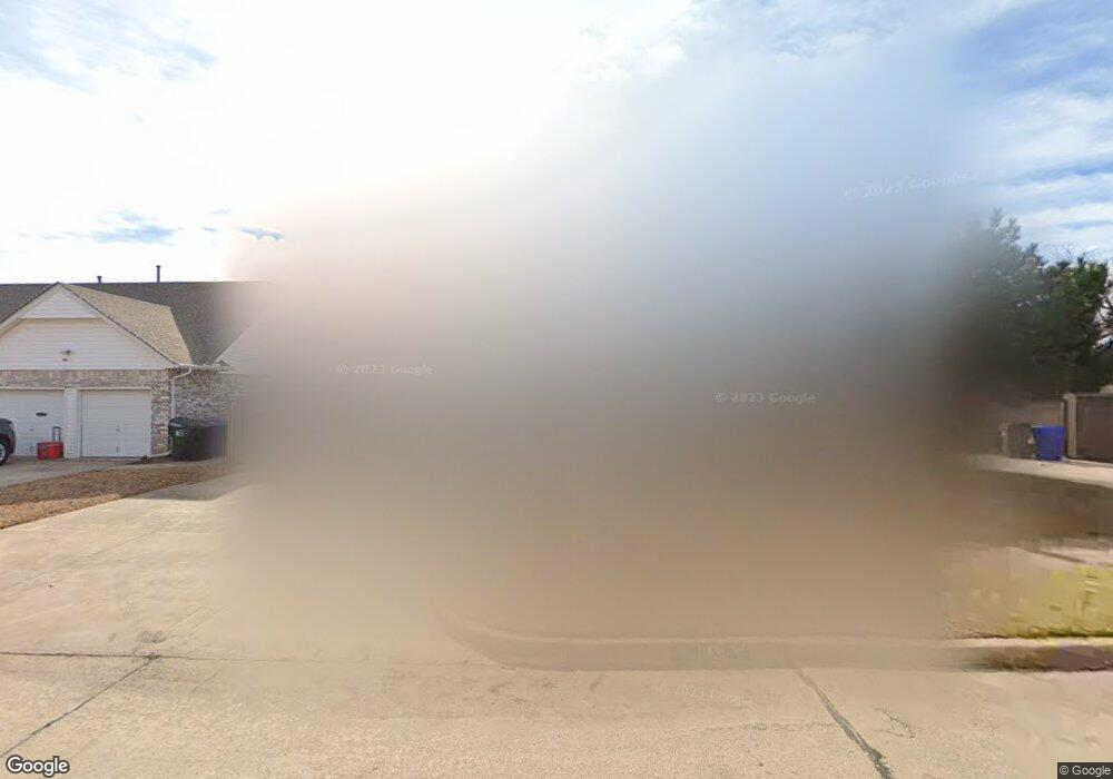
1806 Elmhurst Dr Norman, OK 73071
Southeast Norman NeighborhoodEstimated Value: $258,000 - $275,364
5
Beds
4
Baths
2,373
Sq Ft
$113/Sq Ft
Est. Value
About This Home
This home is located at 1806 Elmhurst Dr, Norman, OK 73071 and is currently estimated at $267,341, approximately $112 per square foot. 1806 Elmhurst Dr is a home located in Cleveland County with nearby schools including Kennedy Elementary School, Irving Middle School, and Norman High School.
Ownership History
Date
Name
Owned For
Owner Type
Purchase Details
Closed on
Mar 15, 2022
Sold by
Mohammed Nemecek Abdullah
Bought by
Abdullah Mohammed Nemecek Revocable Trust
Current Estimated Value
Purchase Details
Closed on
Feb 8, 2007
Bought by
Nemecek Abdullah M and Nemecek Farzana Gul
Home Financials for this Owner
Home Financials are based on the most recent Mortgage that was taken out on this home.
Original Mortgage
$103,600
Interest Rate
6.17%
Mortgage Type
New Conventional
Create a Home Valuation Report for This Property
The Home Valuation Report is an in-depth analysis detailing your home's value as well as a comparison with similar homes in the area
Home Values in the Area
Average Home Value in this Area
Purchase History
| Date | Buyer | Sale Price | Title Company |
|---|---|---|---|
| Abdullah Mohammed Nemecek Revocable Trust | -- | None Listed On Document | |
| Nemecek Abdullah M | -- | None Available |
Source: Public Records
Mortgage History
| Date | Status | Borrower | Loan Amount |
|---|---|---|---|
| Previous Owner | Nemecek Abdullah M | $103,600 |
Source: Public Records
Tax History Compared to Growth
Tax History
| Year | Tax Paid | Tax Assessment Tax Assessment Total Assessment is a certain percentage of the fair market value that is determined by local assessors to be the total taxable value of land and additions on the property. | Land | Improvement |
|---|---|---|---|---|
| 2024 | $1,074 | $9,973 | $1,481 | $8,492 |
| 2023 | $1,077 | $9,973 | $1,471 | $8,502 |
| 2022 | $1,034 | $9,973 | $2,351 | $7,622 |
| 2021 | $1,090 | $9,973 | $2,351 | $7,622 |
| 2020 | $1,065 | $9,973 | $2,351 | $7,622 |
| 2019 | $1,084 | $9,973 | $2,351 | $7,622 |
| 2018 | $1,052 | $9,973 | $2,351 | $7,622 |
| 2017 | $1,063 | $10,181 | $0 | $0 |
| 2016 | $1,081 | $9,973 | $2,351 | $7,622 |
| 2015 | $1,014 | $9,683 | $1,543 | $8,140 |
| 2014 | $1,024 | $9,683 | $1,543 | $8,140 |
Source: Public Records
Map
Nearby Homes
- 1301 Whippoorwill Dr
- 1812 Ridgewood Dr
- 1833 Parkridge Dr
- 1633 Creekside Ln
- 1848 Parkridge Dr
- 1603 Oakcrest Ave
- 1600 Rolling Stone Dr
- 1421 Teakwood Dr
- 1346 Concord Ct
- 1621 Woodcreek Ct
- 1723 E Lindsey St Unit 2
- 1817 E Lindsey St Unit 3
- 1813 E Lindsey St Unit 4
- 1404 1406 Concord Dr
- 2361 Heatherfield Ln
- 1701 Briarcreek
- 1900 Twin Tree Dr
- 1813 Candlewood Dr
- 916 Beaumont Square
- 1704 Sumac Dr
- 1812 Elmhurst Dr
- 1800 Elmhurst Dr
- 1818 Elmhurst Dr
- 1809 Elmhurst Dr
- 1809 Burnt Oak St
- 1805 Burnt Oak St
- 1803 Elmhurst Dr
- 1815 Elmhurst Dr
- 1815 Burnt Oak St
- 1824 Elmhurst Dr
- 1430 Whippoorwill Dr
- 1821 Elmhurst Dr
- 1801 Burnt Oak St
- 1426 Whippoorwill Dr
- 1417 Whippoorwill Dr
- 1821 Burnt Oak St
- 1827 Elmhurst Dr
- 1830 Elmhurst Dr
- 1420 Whippoorwill Dr
- 1829 Burnt Oak St