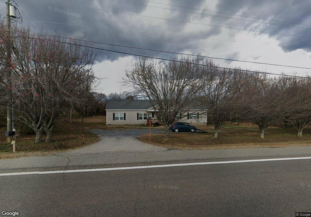
1806 Highway 11 W Chesnee, SC 29323
Estimated Value: $280,000 - $336,000
3
Beds
2
Baths
2,280
Sq Ft
$132/Sq Ft
Est. Value
About This Home
This home is located at 1806 Highway 11 W, Chesnee, SC 29323 and is currently estimated at $301,406, approximately $132 per square foot. 1806 Highway 11 W is a home with nearby schools including Chesnee Elementary School, Chesnee Middle School, and Chesnee High School.
Ownership History
Date
Name
Owned For
Owner Type
Purchase Details
Closed on
Jan 29, 2021
Sold by
Cmh Homes Inc
Bought by
Landrum Janet E
Current Estimated Value
Home Financials for this Owner
Home Financials are based on the most recent Mortgage that was taken out on this home.
Original Mortgage
$178,251
Outstanding Balance
$158,780
Interest Rate
2.6%
Mortgage Type
FHA
Estimated Equity
$142,626
Purchase Details
Closed on
Apr 13, 2020
Sold by
Landrum Janet E
Bought by
Cmh Homes Inc
Create a Home Valuation Report for This Property
The Home Valuation Report is an in-depth analysis detailing your home's value as well as a comparison with similar homes in the area
Home Values in the Area
Average Home Value in this Area
Purchase History
| Date | Buyer | Sale Price | Title Company |
|---|---|---|---|
| Landrum Janet E | $215,386 | None Available | |
| Cmh Homes Inc | $18,000 | None Available |
Source: Public Records
Mortgage History
| Date | Status | Borrower | Loan Amount |
|---|---|---|---|
| Open | Landrum Janet E | $178,251 |
Source: Public Records
Tax History Compared to Growth
Tax History
| Year | Tax Paid | Tax Assessment Tax Assessment Total Assessment is a certain percentage of the fair market value that is determined by local assessors to be the total taxable value of land and additions on the property. | Land | Improvement |
|---|---|---|---|---|
| 2025 | $1,558 | $9,909 | $657 | $9,252 |
| 2024 | $1,558 | $9,909 | $657 | $9,252 |
| 2023 | $1,558 | $9,909 | $657 | $9,252 |
| 2022 | $1,415 | $8,616 | $720 | $7,896 |
| 2021 | $389 | $1,080 | $1,080 | $0 |
| 2020 | $111 | $720 | $720 | $0 |
| 2019 | $481 | $2,744 | $960 | $1,784 |
| 2018 | $470 | $2,744 | $960 | $1,784 |
| 2017 | $465 | $2,700 | $800 | $1,900 |
| 2016 | $465 | $2,700 | $800 | $1,900 |
| 2015 | $448 | $2,620 | $720 | $1,900 |
| 2014 | $443 | $2,620 | $720 | $1,900 |
Source: Public Records
Map
Nearby Homes
- 216 Sweetgrass Dr
- 202 Arrowood Branch Rd
- 140 Manor House Ln
- 537 State Road S-42-1879
- 545 State Road S-42-1879
- 561 State Road S-42-1879
- 565 State Road S-42-1879
- 569 State Road S-42-1879
- 1543 Highway 11 W
- 0 State Road S-42-1879
- 351 Smith Wall Rd
- 0 Cantrell Dr
- 268 Margate Cir
- 291 Robbins Rd
- 550 Harris Rd
- 107 Brooklyn Church Rd
- 190 Clement Rd
- 905 Henderson Rd
- 447 Henderson Rd
- 229 Holly Rd
- 1812 Highway 11 W
- 1745 Highway 11 W
- 1850 Highway 11 W
- 1860 Hwy 11 W
- 120 Crawford Rd
- 1896 Highway 11 W
- 313 Ivey Rd
- 317 Ivey Rd
- 1683 S Carolina 11
- 1683 Highway 11 W
- 136 Arrowood Branch Rd Unit 140
- 1916 Highway 11 W
- 329 Ivey Rd
- 118 Arrowood Branch Rd
- 122 Arrowood Branch Rd
- 128 Arrowood Branch Rd
- 333 Ivey Rd
- 1667 Highway 11 W
- 155 Arrowood Branch Rd
- 1941 Highway 11 W