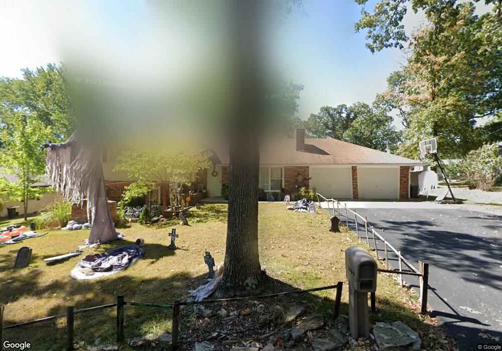
1806 Long Dr Waynesville, MO 65583
Estimated Value: $202,987 - $240,000
4
Beds
3
Baths
1,931
Sq Ft
$115/Sq Ft
Est. Value
About This Home
This home is located at 1806 Long Dr, Waynesville, MO 65583 and is currently estimated at $222,247, approximately $115 per square foot. 1806 Long Dr is a home located in Pulaski County with nearby schools including Waynesville East Elementary School, Freedom Elementary School, and Waynesville Middle School.
Ownership History
Date
Name
Owned For
Owner Type
Purchase Details
Closed on
Jan 15, 2021
Bought by
Howell Lonnie R
Current Estimated Value
Purchase Details
Closed on
Mar 4, 2014
Sold by
Byron Byron and Smith Rhonda
Bought by
Howell Gwendolyn M and Howell Lonnie R
Home Financials for this Owner
Home Financials are based on the most recent Mortgage that was taken out on this home.
Original Mortgage
$112,260
Interest Rate
4.36%
Purchase Details
Closed on
Feb 17, 2011
Sold by
Beneficial Financial I Inc
Bought by
Smith Byron and Smith Rhonda
Create a Home Valuation Report for This Property
The Home Valuation Report is an in-depth analysis detailing your home's value as well as a comparison with similar homes in the area
Home Values in the Area
Average Home Value in this Area
Purchase History
| Date | Buyer | Sale Price | Title Company |
|---|---|---|---|
| Howell Lonnie R | -- | -- | |
| Howell Gwendolyn M | -- | -- | |
| Smith Byron | -- | None Available |
Source: Public Records
Mortgage History
| Date | Status | Borrower | Loan Amount |
|---|---|---|---|
| Previous Owner | Howell Gwendolyn M | $112,260 |
Source: Public Records
Tax History Compared to Growth
Tax History
| Year | Tax Paid | Tax Assessment Tax Assessment Total Assessment is a certain percentage of the fair market value that is determined by local assessors to be the total taxable value of land and additions on the property. | Land | Improvement |
|---|---|---|---|---|
| 2024 | $769 | $18,193 | $2,812 | $15,381 |
| 2023 | $751 | $18,193 | $2,812 | $15,381 |
| 2022 | $746 | $18,193 | $2,812 | $15,381 |
| 2021 | $737 | $18,193 | $2,812 | $15,381 |
| 2020 | $723 | $17,643 | $0 | $0 |
| 2019 | $723 | $17,461 | $0 | $0 |
| 2018 | $722 | $17,461 | $0 | $0 |
| 2017 | $713 | $17,643 | $0 | $0 |
| 2016 | $678 | $17,460 | $0 | $0 |
| 2015 | -- | $17,460 | $0 | $0 |
| 2014 | $665 | $17,460 | $0 | $0 |
Source: Public Records
Map
Nearby Homes
- 114 Pioneer Ct
- 1903 Long Dr
- 1718 Sanders Rd
- 101 Ridge Ct
- 0 Lot 16 Westwinds S D Unit MAR25013085
- 1802 Pearson St
- 128 Jared St
- 127 Jared St
- 600 Sunset Dr
- 602 Sunset Dr
- 21675 Sable Rd
- 212 Tremont Dr
- 412 Fleetwood Dr
- 104 Story St
- 21450 Sail Rd
- 312 Summit Ave
- 307 Ellis Ave
- 123 Hull Dr
- 0 Lot 1 Westwinds S D
- 107 Hull Dr