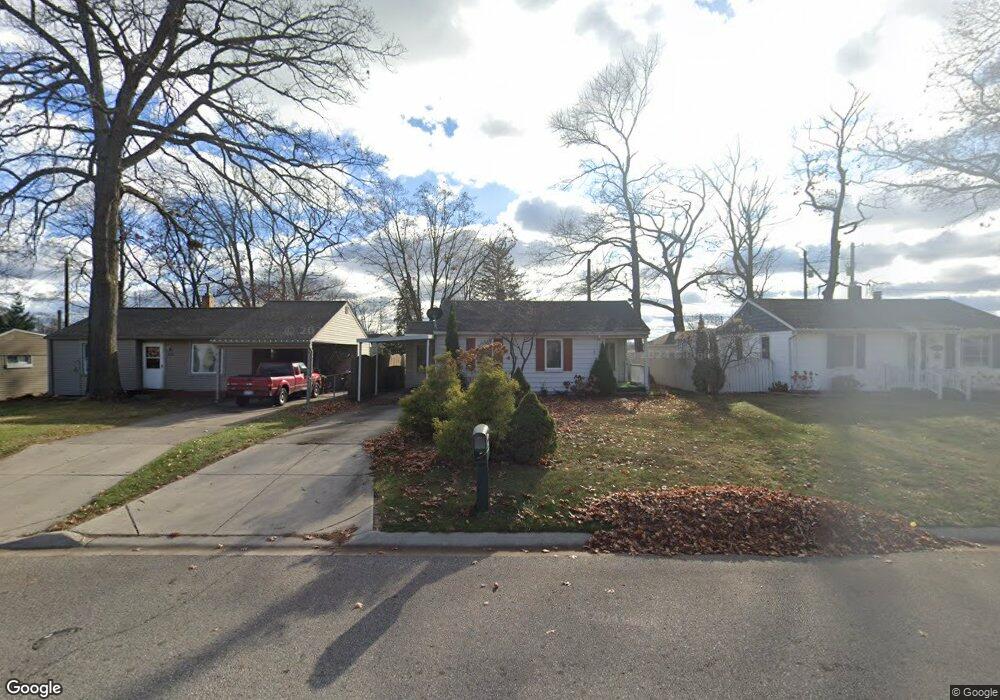
1806 Mansfield St Port Huron, MI 48060
Estimated Value: $141,498 - $169,000
2
Beds
1
Bath
900
Sq Ft
$174/Sq Ft
Est. Value
About This Home
This home is located at 1806 Mansfield St, Port Huron, MI 48060 and is currently estimated at $156,625, approximately $174 per square foot. 1806 Mansfield St is a home located in St. Clair County with nearby schools including H.D. Crull Elementary School, Holland Woods Middle School, and Port Huron Northern High School.
Ownership History
Date
Name
Owned For
Owner Type
Purchase Details
Closed on
Sep 14, 2007
Sold by
Lambe Kenneth M and Lambe Carol S
Bought by
Hill Oliver L
Current Estimated Value
Home Financials for this Owner
Home Financials are based on the most recent Mortgage that was taken out on this home.
Original Mortgage
$85,000
Outstanding Balance
$54,201
Interest Rate
6.71%
Mortgage Type
New Conventional
Estimated Equity
$102,424
Create a Home Valuation Report for This Property
The Home Valuation Report is an in-depth analysis detailing your home's value as well as a comparison with similar homes in the area
Home Values in the Area
Average Home Value in this Area
Purchase History
| Date | Buyer | Sale Price | Title Company |
|---|---|---|---|
| Hill Oliver L | $85,000 | Metropolitan Title Company |
Source: Public Records
Mortgage History
| Date | Status | Borrower | Loan Amount |
|---|---|---|---|
| Open | Hill Oliver L | $85,000 |
Source: Public Records
Tax History Compared to Growth
Tax History
| Year | Tax Paid | Tax Assessment Tax Assessment Total Assessment is a certain percentage of the fair market value that is determined by local assessors to be the total taxable value of land and additions on the property. | Land | Improvement |
|---|---|---|---|---|
| 2025 | $1,607 | $59,200 | $0 | $0 |
| 2024 | $1,333 | $54,600 | $0 | $0 |
| 2023 | $1,259 | $49,400 | $0 | $0 |
| 2022 | $1,282 | $44,100 | $0 | $0 |
| 2021 | $1,217 | $40,100 | $0 | $0 |
| 2020 | $1,231 | $38,200 | $38,200 | $0 |
| 2019 | $1,209 | $29,400 | $0 | $0 |
| 2018 | $1,183 | $29,400 | $0 | $0 |
| 2017 | $1,057 | $26,100 | $0 | $0 |
| 2016 | $897 | $26,100 | $0 | $0 |
| 2015 | $880 | $25,100 | $25,100 | $0 |
| 2014 | $880 | $25,100 | $25,100 | $0 |
| 2013 | -- | $24,600 | $0 | $0 |
Source: Public Records
Map
Nearby Homes
- 1907 Riverside Dr
- 1819 Riverside Dr
- 2215 Hancock St
- 1649 Whipple St
- 1620 McBrady St
- 0000 Campau Ave
- 2838 Elmwood St
- 0000 Water St
- V/L #4 Water St
- V/L #6 Water St
- V/L #5 Water St
- V/L #8 Water St
- V/L #3 Water St
- 2549 Riverwood Dr
- 2812 19th Ave
- 1534 12th Ave
- 2806 Woodstock Dr
- 2400 Stone St Unit 2414
- 1116 Hancock St
- 1434 Schumaker St
- 1802 Mansfield St
- 2301 17th Ave
- 1796 Mansfield St
- 1792 Mansfield St
- 1810 Mansfield St
- 1818 Mansfield St
- 1793 Mansfield St
- 1811 Mansfield St
- 2010 Riverside Dr
- 1819 Mansfield St
- 1776 Mansfield St
- 2303 17th Ave
- 2302 17th Ave
- 2302 17th Ave 17th Ave
- 2302 18th Ave
- 1787 Mansfield St
- 2304 17th Ave
- 2305 17th Ave
- 1823 Mansfield St
- 2021 Riverside Dr