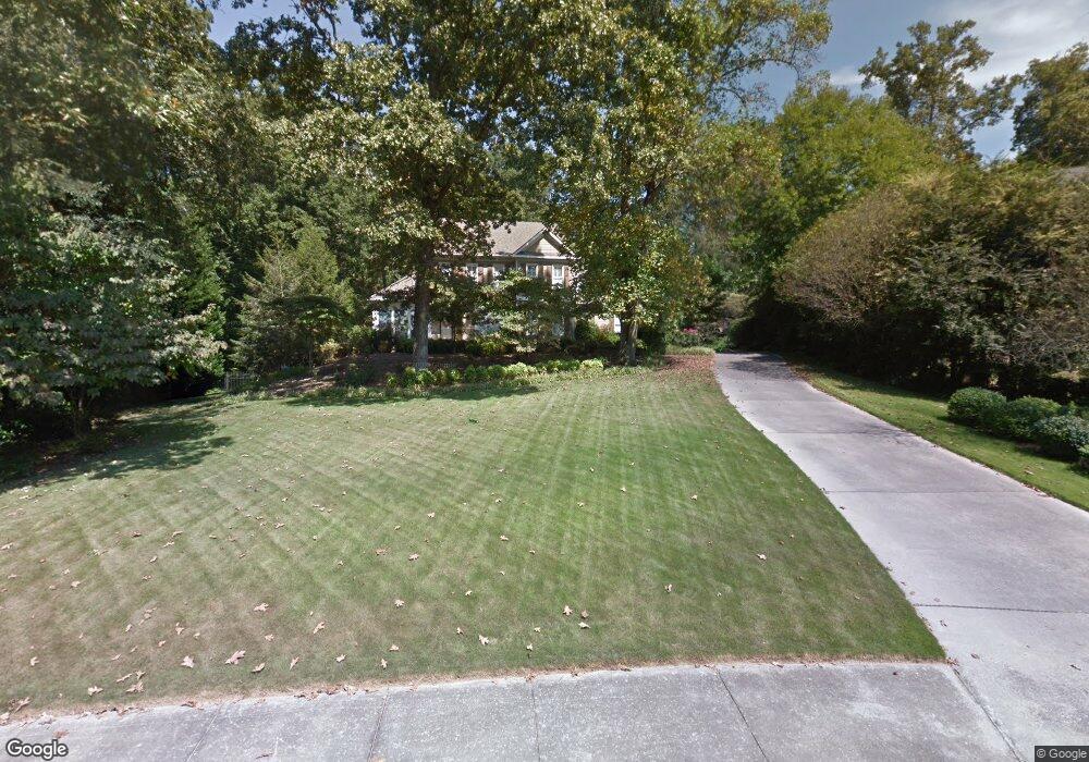
1806 Marthas Bridge Rd Dalton, GA 30720
Estimated Value: $588,000 - $703,000
--
Bed
4
Baths
2,565
Sq Ft
$246/Sq Ft
Est. Value
About This Home
This home is located at 1806 Marthas Bridge Rd, Dalton, GA 30720 and is currently estimated at $630,833, approximately $245 per square foot. 1806 Marthas Bridge Rd is a home located in Whitfield County with nearby schools including Brookwood Elementary School, Dalton Middle School, and Dalton High School.
Ownership History
Date
Name
Owned For
Owner Type
Purchase Details
Closed on
Jun 28, 2010
Sold by
Hallsworth Joseph C
Bought by
Fox Graham M
Current Estimated Value
Home Financials for this Owner
Home Financials are based on the most recent Mortgage that was taken out on this home.
Original Mortgage
$384,000
Outstanding Balance
$255,810
Interest Rate
4.77%
Mortgage Type
New Conventional
Estimated Equity
$375,023
Purchase Details
Closed on
Dec 1, 1993
Bought by
Hallsworth Joseph C and Hallsworth Nancy N
Create a Home Valuation Report for This Property
The Home Valuation Report is an in-depth analysis detailing your home's value as well as a comparison with similar homes in the area
Home Values in the Area
Average Home Value in this Area
Purchase History
| Date | Buyer | Sale Price | Title Company |
|---|---|---|---|
| Fox Graham M | $480,000 | -- | |
| Hallsworth Joseph C | -- | -- |
Source: Public Records
Mortgage History
| Date | Status | Borrower | Loan Amount |
|---|---|---|---|
| Open | Fox Graham M | $384,000 |
Source: Public Records
Tax History Compared to Growth
Tax History
| Year | Tax Paid | Tax Assessment Tax Assessment Total Assessment is a certain percentage of the fair market value that is determined by local assessors to be the total taxable value of land and additions on the property. | Land | Improvement |
|---|---|---|---|---|
| 2024 | $6,509 | $233,864 | $31,200 | $202,664 |
| 2023 | $6,509 | $181,935 | $21,600 | $160,335 |
| 2022 | $5,613 | $170,348 | $34,400 | $135,948 |
| 2021 | $5,621 | $170,348 | $34,400 | $135,948 |
| 2020 | $5,827 | $170,348 | $34,400 | $135,948 |
| 2019 | $6,004 | $170,348 | $34,400 | $135,948 |
| 2018 | $6,089 | $170,348 | $34,400 | $135,948 |
| 2017 | $5,855 | $170,348 | $34,400 | $135,948 |
| 2016 | $5,109 | $148,846 | $25,200 | $123,646 |
| 2014 | $3,907 | $125,316 | $25,200 | $100,116 |
| 2013 | -- | $125,316 | $25,200 | $100,116 |
Source: Public Records
Map
Nearby Homes
- 1709 Dug Gap Rd
- 1608 Ryman Ridge Rd
- 0 Horizon Ct Unit 130497
- 0 Horizon Ct Unit 130499
- 0 Horizon Ct Unit 130479
- 0 Horizon Ct Unit 130477
- 0 Horizon Ct Unit 130478
- 0 Horizon Ct Unit 130496
- 0 Horizon Ct Unit 130498
- 1704 Southmont Dr
- 1913 Tara Place
- 1504 Belmont Dr
- 115& 134 Independence Way
- 1506 Summer Gate Way
- 1506 Summer Gate Way Unit 8
- 1632 Rio Vista Dr
- 1731 Ball Ave
- 1902 W Brookhaven Cir
- 00 Rio Vista Dr
- 1230 Valencia Dr
- 1808 Marthas Bridge Rd
- 1804 Marthas Bridge Rd
- 1620 Ryman Ridge Rd
- 1805 Marthas Bridge Rd
- 1711 Oakmont Dr
- 1709 Oakmont Dr
- 1810 Marthas Bridge Rd
- 1624 Ryman Ridge Rd
- 1800 Ryman Ridge Rd
- 1801 Oakmont Dr
- 1710 Ryman Ridge Rd
- 1707 Oakmont Dr
- 1613 Ryman Ridge Rd
- 1802 Ryman Ridge Rd
- 1812 Marthas Bridge Rd
- 1616 Ryman Ridge Rd
- 1710 Briarcliff Cir
- 1615 Ryman Ridge Rd
- 1803 Oakmont Dr
- 0 Ryman Ridge Rd Unit RTC2717398