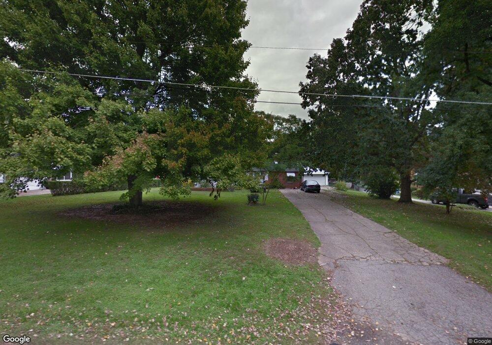
1806 Simison Rd Spring Valley, OH 45370
Estimated Value: $224,392 - $307,000
3
Beds
1
Bath
1,320
Sq Ft
$189/Sq Ft
Est. Value
About This Home
This home is located at 1806 Simison Rd, Spring Valley, OH 45370 and is currently estimated at $249,098, approximately $188 per square foot. 1806 Simison Rd is a home located in Greene County with nearby schools including Xenia High School and Summit Academy Community School for Alternative Learners - Xenia.
Ownership History
Date
Name
Owned For
Owner Type
Purchase Details
Closed on
Aug 16, 2006
Sold by
Engle Gwen and Engle Melvin K
Bought by
Engle Debra R
Current Estimated Value
Home Financials for this Owner
Home Financials are based on the most recent Mortgage that was taken out on this home.
Original Mortgage
$92,000
Outstanding Balance
$55,595
Interest Rate
6.88%
Mortgage Type
Purchase Money Mortgage
Estimated Equity
$193,503
Purchase Details
Closed on
Jul 28, 2006
Sold by
Estate Of Scott E Schilling
Bought by
Engle Gwen and Webb Reva
Home Financials for this Owner
Home Financials are based on the most recent Mortgage that was taken out on this home.
Original Mortgage
$92,000
Outstanding Balance
$55,595
Interest Rate
6.88%
Mortgage Type
Purchase Money Mortgage
Estimated Equity
$193,503
Create a Home Valuation Report for This Property
The Home Valuation Report is an in-depth analysis detailing your home's value as well as a comparison with similar homes in the area
Purchase History
| Date | Buyer | Sale Price | Title Company |
|---|---|---|---|
| Engle Debra R | $115,000 | Midwest Title Company | |
| Engle Gwen | -- | None Available | |
| Schilling Scott E | -- | None Available |
Source: Public Records
Mortgage History
| Date | Status | Borrower | Loan Amount |
|---|---|---|---|
| Open | Engle Debra R | $92,000 |
Source: Public Records
Tax History
| Year | Tax Paid | Tax Assessment Tax Assessment Total Assessment is a certain percentage of the fair market value that is determined by local assessors to be the total taxable value of land and additions on the property. | Land | Improvement |
|---|---|---|---|---|
| 2024 | $2,833 | $56,410 | $9,170 | $47,240 |
| 2023 | $2,809 | $56,410 | $9,170 | $47,240 |
| 2022 | $2,451 | $42,530 | $8,250 | $34,280 |
| 2021 | $2,481 | $42,530 | $8,250 | $34,280 |
| 2020 | $2,272 | $42,530 | $8,250 | $34,280 |
| 2019 | $2,104 | $36,910 | $8,020 | $28,890 |
| 2018 | $2,075 | $36,910 | $8,020 | $28,890 |
| 2017 | $1,959 | $36,910 | $8,020 | $28,890 |
| 2016 | $1,959 | $35,620 | $8,020 | $27,600 |
| 2015 | $1,964 | $35,620 | $8,020 | $27,600 |
| 2014 | $1,884 | $35,620 | $8,020 | $27,600 |
Source: Public Records
Map
Nearby Homes
- 1839 Simison Rd
- 2131 Simison Rd
- 2471 Lower Bellbrook Rd
- 2336 Washington Mill Rd
- 196 Mound St
- 1753 Cedar Ridge Dr
- 2779 W End Ct
- Chatham Plan at Edenbridge
- Bellamy Plan at Edenbridge
- Holcombe Plan at Edenbridge
- Henley Plan at Edenbridge
- Newcastle Plan at Edenbridge
- 1474 Hawkshead St
- 1272 Baybury Ave
- 1293 Baybury Ave
- 1256 Baybury Ave
- 1253 Baybury Ave
- 1282 Baybury Ave
- 1298 Baybury Ave
- 1304 Baybury Ave
- 1860 Simison Rd
- 1818 Simison Rd
- 1828 Simison Rd
- 1840 Simison Rd
- 1861 Simison Rd
- 1829 Simison Rd
- 1817 Simison Rd
- 1941 Lower Bellbrook Rd
- 1803 Simison Rd
- 1955 Lower Bellbrook Rd
- 1929 Lower Bellbrook Rd
- 1969 Lower Bellbrook Rd
- 1907 Lower Bellbrook Rd
- 2035 Lower Bellbrook Rd
- 1899 Lower Bellbrook Rd
- 1987 Lower Bellbrook Rd
- 1781 Simison Rd
- 1920 Lower Bellbrook Rd
- 1794 Simison Rd
- 2015 Lower Bellbrook Rd