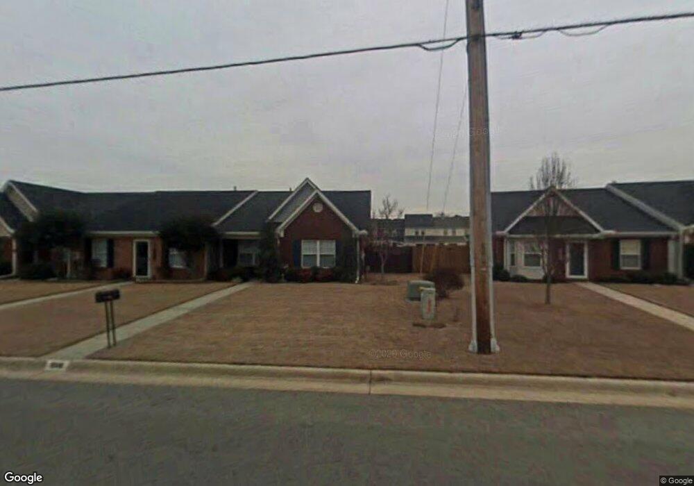
1806 Smith Ave SW Decatur, AL 35603
Westmead NeighborhoodEstimated Value: $147,670 - $220,000
--
Bed
--
Bath
1,261
Sq Ft
$146/Sq Ft
Est. Value
About This Home
This home is located at 1806 Smith Ave SW, Decatur, AL 35603 and is currently estimated at $184,418, approximately $146 per square foot. 1806 Smith Ave SW is a home located in Morgan County with nearby schools including Julian Harris Elementary School, Cedar Ridge Middle School, and Austin High School.
Ownership History
Date
Name
Owned For
Owner Type
Purchase Details
Closed on
Sep 27, 2013
Sold by
Wynn Kendra J and Wynn Raymond
Bought by
Hooker Carl D
Current Estimated Value
Home Financials for this Owner
Home Financials are based on the most recent Mortgage that was taken out on this home.
Original Mortgage
$3,090
Interest Rate
4.53%
Mortgage Type
Stand Alone Second
Purchase Details
Closed on
Mar 26, 2008
Sold by
Clark Hoyt R
Bought by
Clark Kendra
Create a Home Valuation Report for This Property
The Home Valuation Report is an in-depth analysis detailing your home's value as well as a comparison with similar homes in the area
Home Values in the Area
Average Home Value in this Area
Purchase History
| Date | Buyer | Sale Price | Title Company |
|---|---|---|---|
| Hooker Carl D | $103,000 | None Available | |
| Clark Kendra | -- | None Available |
Source: Public Records
Mortgage History
| Date | Status | Borrower | Loan Amount |
|---|---|---|---|
| Closed | Hooker Carl D | $3,090 | |
| Open | Hooker Carl D | $101,134 |
Source: Public Records
Tax History Compared to Growth
Tax History
| Year | Tax Paid | Tax Assessment Tax Assessment Total Assessment is a certain percentage of the fair market value that is determined by local assessors to be the total taxable value of land and additions on the property. | Land | Improvement |
|---|---|---|---|---|
| 2024 | $415 | $10,210 | $1,610 | $8,600 |
| 2023 | $415 | $10,210 | $1,610 | $8,600 |
| 2022 | $404 | $9,950 | $1,520 | $8,430 |
| 2021 | $345 | $8,650 | $1,520 | $7,130 |
| 2020 | $327 | $14,860 | $1,500 | $13,360 |
| 2019 | $327 | $8,260 | $0 | $0 |
| 2015 | $404 | $9,980 | $0 | $0 |
| 2014 | $404 | $9,980 | $0 | $0 |
| 2013 | -- | $9,820 | $0 | $0 |
Source: Public Records
Map
Nearby Homes
- 1712 Brookline Ave SW
- 2414 Brookline Ct SW
- 1824 Scobee Ave SW
- 2409 Brookline Ct SW
- 1406 Goldridge Dr SW
- 2410 Kathy Ln SW
- 2415 Gaslight Place SW
- 1829 Brownstone Ave SW
- 2413 Gaslight Place SW
- 1901 Shepard Dr SW
- 1812 Brownstone Ave SW
- 1923 W Brownstone Ct SW
- 1904 W Brownstone Ct SW
- 1827 N Brownstone Ct SW
- 1962 E Brownstone Ct SW
- 7.5 Brownstone Ct SW
- 1701 Saginaw Ln SW
- 1711 Wilshire Ave SW
- 2406 Auburn Dr SW
- 2313 Cumberland Ct SW
- 1802 Smith Ave SW
- 1808 Smith Ave SW
- 1810 Smith Ave SW
- 1603 Brookline Ave SW
- 1605 Brookline Ave SW
- 1812 Smith Ave SW
- 1607 Brookline Ave SW
- 1609 Brookline Ave SW
- 1801 Smith Ave SW
- 1803 Smith Ave SW
- 1611 Brookline Ave SW
- 1814 Smith Ave SW
- 1433 Smith Ave SW
- 1613 Brookline Ave SW
- 1805 Smith Ave SW
- 1615 Brookline Ave SW
- 1431 Smith Ave SW
- 1816 Smith Ave SW
- 1807 Smith Ave SW
- 1701 Brookline Ave SW