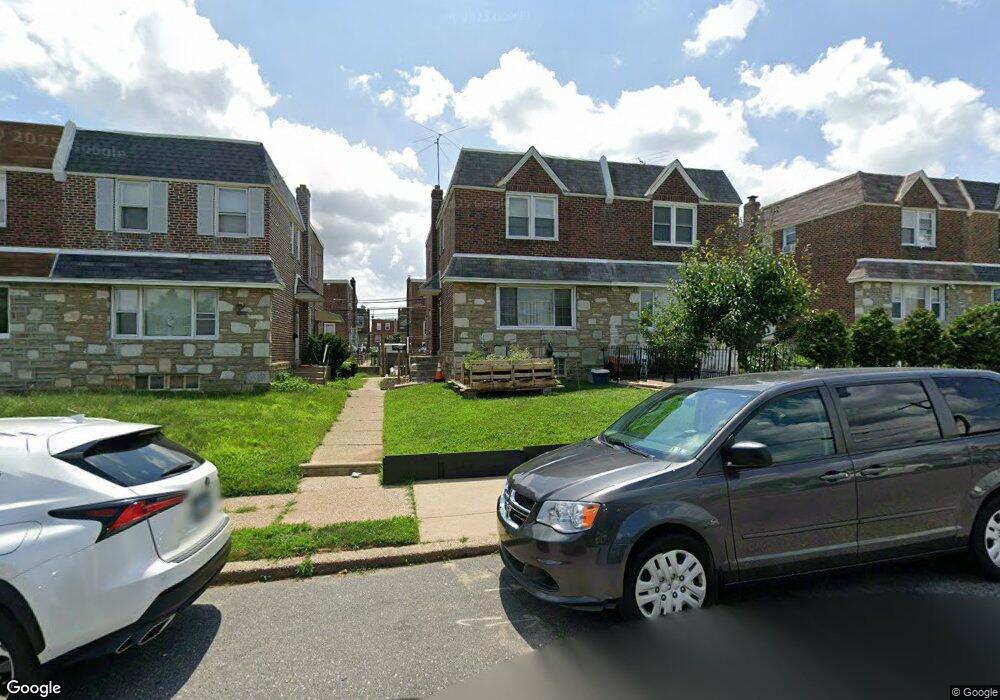
1806 Tustin St Philadelphia, PA 19152
Rhawnhurst NeighborhoodEstimated Value: $310,000 - $350,000
3
Beds
2
Baths
1,304
Sq Ft
$254/Sq Ft
Est. Value
About This Home
This home is located at 1806 Tustin St, Philadelphia, PA 19152 and is currently estimated at $331,355, approximately $254 per square foot. 1806 Tustin St is a home located in Philadelphia County with nearby schools including Farrell Louis H School, Northeast High School, and Tacony Academy Charter School.
Ownership History
Date
Name
Owned For
Owner Type
Purchase Details
Closed on
Sep 29, 2009
Sold by
Hytowitz Harriet and Federman Kenneth D
Bought by
Lyon Michael and Lyon Stacy
Current Estimated Value
Home Financials for this Owner
Home Financials are based on the most recent Mortgage that was taken out on this home.
Original Mortgage
$176,638
Outstanding Balance
$114,639
Interest Rate
5.12%
Mortgage Type
FHA
Estimated Equity
$216,716
Create a Home Valuation Report for This Property
The Home Valuation Report is an in-depth analysis detailing your home's value as well as a comparison with similar homes in the area
Home Values in the Area
Average Home Value in this Area
Purchase History
| Date | Buyer | Sale Price | Title Company |
|---|---|---|---|
| Lyon Michael | $179,900 | None Available |
Source: Public Records
Mortgage History
| Date | Status | Borrower | Loan Amount |
|---|---|---|---|
| Open | Lyon Michael | $176,638 |
Source: Public Records
Tax History Compared to Growth
Tax History
| Year | Tax Paid | Tax Assessment Tax Assessment Total Assessment is a certain percentage of the fair market value that is determined by local assessors to be the total taxable value of land and additions on the property. | Land | Improvement |
|---|---|---|---|---|
| 2026 | $3,302 | $298,300 | $59,660 | $238,640 |
| 2025 | $3,302 | $298,300 | $59,660 | $238,640 |
| 2024 | $3,302 | $298,300 | $59,660 | $238,640 |
| 2023 | $3,302 | $235,900 | $47,180 | $188,720 |
| 2022 | $1,968 | $190,900 | $47,180 | $143,720 |
| 2021 | $2,598 | $0 | $0 | $0 |
| 2020 | $2,598 | $0 | $0 | $0 |
| 2019 | $2,366 | $0 | $0 | $0 |
| 2018 | $2,349 | $0 | $0 | $0 |
| 2017 | $2,349 | $0 | $0 | $0 |
| 2016 | $1,929 | $0 | $0 | $0 |
| 2015 | $1,847 | $0 | $0 | $0 |
| 2014 | -- | $167,800 | $35,260 | $132,540 |
| 2012 | -- | $22,272 | $3,327 | $18,945 |
Source: Public Records
Map
Nearby Homes
- 1828 Megargee St
- 1712 Tustin St
- 1832 Mower St
- 1716 Bergen St
- 1711 Kendrick St
- 8606 Frontenac St
- 1700 Kendrick St
- 8614 Agusta St
- 1732 Fox Chase Rd
- 8562 Benton Ave
- 8523 Benton Ave
- 8563 Benton Ave
- 1804 Hoffnagle St
- 8227 Rose Petal Dr
- 1705 Solly Ave
- 2155 Benson St
- 2162 Strahle St
- 2201 Strahle St Unit C302
- 8127 Langdon St
- 1702 Arthur St
- 1804 Tustin St
- 1808 Tustin St
- 1802 Tustin St
- 1810 Tustin St
- 1800 Tustin St
- 1812 Tustin St
- 1815 Megargee St
- 1813 Megargee St
- 1817 Megargee St
- 1814 Tustin St
- 1811 Megargee St
- 1819 Megargee St
- 1809 Megargee St
- 1746 Tustin St
- 1821 Megargee St
- 1744 Tustin St
- 1807 Megargee St
- 1816 Tustin St
- 1823 Megargee St
- 1818 Tustin St