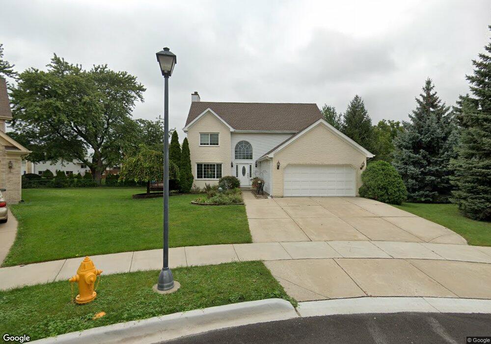
1806 W Carriage Ct Addison, IL 60101
Estimated Value: $466,000 - $553,000
4
Beds
3
Baths
2,285
Sq Ft
$216/Sq Ft
Est. Value
About This Home
This home is located at 1806 W Carriage Ct, Addison, IL 60101 and is currently estimated at $493,986, approximately $216 per square foot. 1806 W Carriage Ct is a home located in DuPage County with nearby schools including Stone Elementary School, Indian Trail Jr High School, and Addison Trail High School.
Ownership History
Date
Name
Owned For
Owner Type
Purchase Details
Closed on
May 17, 2006
Sold by
Santucci Anthony
Bought by
Santucci Ermanno and Santucci Margaret S
Current Estimated Value
Purchase Details
Closed on
Jan 23, 1998
Sold by
Santucci Julie
Bought by
Santucci Anthony
Purchase Details
Closed on
Jul 22, 1994
Sold by
Oxford Bank & Trust
Bought by
Santucci Anthony and Santucci Julie
Home Financials for this Owner
Home Financials are based on the most recent Mortgage that was taken out on this home.
Original Mortgage
$160,000
Interest Rate
6.87%
Create a Home Valuation Report for This Property
The Home Valuation Report is an in-depth analysis detailing your home's value as well as a comparison with similar homes in the area
Home Values in the Area
Average Home Value in this Area
Purchase History
| Date | Buyer | Sale Price | Title Company |
|---|---|---|---|
| Santucci Ermanno | -- | None Available | |
| Santucci Anthony | -- | -- | |
| Santucci Anthony | $240,000 | -- |
Source: Public Records
Mortgage History
| Date | Status | Borrower | Loan Amount |
|---|---|---|---|
| Previous Owner | Santucci Anthony | $160,000 |
Source: Public Records
Tax History Compared to Growth
Tax History
| Year | Tax Paid | Tax Assessment Tax Assessment Total Assessment is a certain percentage of the fair market value that is determined by local assessors to be the total taxable value of land and additions on the property. | Land | Improvement |
|---|---|---|---|---|
| 2024 | $8,948 | $135,626 | $29,021 | $106,605 |
| 2023 | $8,497 | $124,030 | $26,540 | $97,490 |
| 2022 | $8,160 | $116,700 | $26,370 | $90,330 |
| 2021 | $7,754 | $110,870 | $25,050 | $85,820 |
| 2020 | $7,684 | $108,170 | $24,440 | $83,730 |
| 2019 | $7,653 | $103,950 | $23,490 | $80,460 |
| 2018 | $7,104 | $93,200 | $22,690 | $70,510 |
| 2017 | $6,706 | $86,380 | $21,030 | $65,350 |
| 2016 | $10,088 | $120,290 | $29,280 | $91,010 |
| 2015 | $9,964 | $112,250 | $27,320 | $84,930 |
| 2014 | $9,634 | $107,930 | $26,270 | $81,660 |
| 2013 | $9,570 | $111,620 | $27,170 | $84,450 |
Source: Public Records
Map
Nearby Homes
- 1750 W Woodland Ave
- 1711 W Woodland Ave
- 522 N Castle Rd
- 823 N Cambridge Row
- 1795 W Jo Ann Ln
- 1741 W Goldengate Dr Unit 2
- 802 N Tamarac Blvd Unit Z5
- 1701 W Goldengate Dr
- 865 N Tamarac Blvd
- 943 N Rohlwing Rd Unit 101H
- 953 N Rohlwing Rd Unit GB
- 953 N Rohlwing Rd Unit 201A
- 1560 W Goldengate Dr
- 1801 W Army Trail Rd
- 881 N Swift Rd Unit 306
- 881 N Swift Rd Unit 106
- 941 N Swift Rd Unit 301
- 20W561 Army Trail Blvd
- 580 N Highlander Way
- 1313 W Byron Ave
- 710 N Rohlwing Rd
- 1810 W Carriage Ct
- 1800 W Carriage Ct
- 639 N Rumple Ln
- 716 N Rohlwing Rd
- 701 N Rumple Ln
- 1807 W Carriage Ct
- 705 N Rumple Ln
- 635 N Rumple Ln
- 716 N Rohlwing Rd
- 1801 W Carriage Ct
- 709 N Rumple Ln Unit 1
- 631 N Rumple Ln
- 720 N Rohlwing Rd
- 627 N Rumple Ln
- 715 N Rumple Ln
- 618 N Rohlwing Rd
- 726 N Rohlwing Rd
- 719 N Rumple Ln
- 623 N Rumple Ln