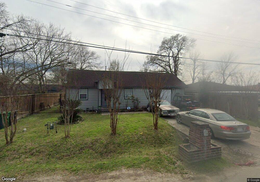
1806 Westford St Houston, TX 77093
Eastex-Jensen NeighborhoodEstimated Value: $225,307 - $253,000
2
Beds
1
Bath
1,560
Sq Ft
$152/Sq Ft
Est. Value
About This Home
This home is located at 1806 Westford St, Houston, TX 77093 and is currently estimated at $237,327, approximately $152 per square foot. 1806 Westford St is a home located in Harris County with nearby schools including Roderick R. Paige Elementary School, Key Middle, and Kashmere High School.
Ownership History
Date
Name
Owned For
Owner Type
Purchase Details
Closed on
May 21, 2014
Sold by
Garner Albert Keith
Bought by
Alvarez Mirna Elizabeth
Current Estimated Value
Purchase Details
Closed on
Jun 12, 2012
Sold by
Garner Albert Keith
Bought by
Alvarez Mira Elizabeth
Home Financials for this Owner
Home Financials are based on the most recent Mortgage that was taken out on this home.
Original Mortgage
$27,000
Interest Rate
3.86%
Mortgage Type
Land Contract Argmt. Of Sale
Create a Home Valuation Report for This Property
The Home Valuation Report is an in-depth analysis detailing your home's value as well as a comparison with similar homes in the area
Home Values in the Area
Average Home Value in this Area
Purchase History
| Date | Buyer | Sale Price | Title Company |
|---|---|---|---|
| Alvarez Mirna Elizabeth | -- | None Available | |
| Alvarez Mira Elizabeth | $30,000 | None Available |
Source: Public Records
Mortgage History
| Date | Status | Borrower | Loan Amount |
|---|---|---|---|
| Previous Owner | Alvarez Mira Elizabeth | $27,000 |
Source: Public Records
Tax History Compared to Growth
Tax History
| Year | Tax Paid | Tax Assessment Tax Assessment Total Assessment is a certain percentage of the fair market value that is determined by local assessors to be the total taxable value of land and additions on the property. | Land | Improvement |
|---|---|---|---|---|
| 2025 | $4,265 | $212,780 | $78,323 | $134,457 |
| 2024 | $4,265 | $203,837 | $65,269 | $138,568 |
| 2023 | $4,265 | $197,310 | $58,742 | $138,568 |
| 2022 | $3,430 | $155,772 | $39,161 | $116,611 |
| 2021 | $3,132 | $134,402 | $39,161 | $95,241 |
| 2020 | $3,103 | $128,121 | $39,161 | $88,960 |
| 2019 | $3,426 | $135,398 | $26,108 | $109,290 |
| 2018 | $1,713 | $67,693 | $26,108 | $41,585 |
| 2017 | $1,712 | $67,693 | $26,108 | $41,585 |
| 2016 | $1,653 | $65,390 | $17,405 | $47,985 |
| 2015 | -- | $61,035 | $17,405 | $43,630 |
| 2014 | -- | $61,035 | $17,405 | $43,630 |
Source: Public Records
Map
Nearby Homes
- 2120 Vance St
- 1928 E Crosstimbers St
- 2402 Bennington St
- 2314 Spence St
- 1009 Wainwright St
- 2015 Creston Dr
- 7307 Adelbert St
- 2516 Vaughn St
- 2413 E Crosstimbers St
- 931 Bennington St
- 1909 Melbourne St
- 6505 Frisco St
- 6501 Frisco St
- 2520 E Crosstimbers St
- 1817 Mcdaniel St
- 2301 King St
- 2503 Creston Dr
- 809 Dorchester St
- 7305 Jensen
- 2602 E Crosstimbers St
- 1802 Westford St
- 1718 Westford St
- 7025 Schneider St
- 7021 Schneider St
- 1805 Westford St
- 1801 Westford St
- 1809 Westford St
- 1717 Westford St
- 7115 Schneider St
- 1713 Westford St
- 7005 Schneider St
- 7201 Schneider St
- 7012 Schneider St
- 7001 Schneider St
- 1717 Bennington St
- 7008 Schneider St
- 7004 Schneider St
- 7202 Schneider St
- 1719 Bennington St
- 6905 Schneider St