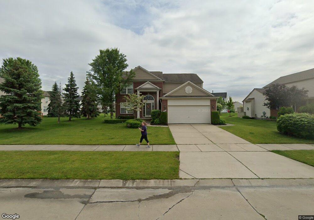
18064 Marsal Dr Unit Bldg-Unit Macomb, MI 48042
Estimated Value: $416,000 - $436,000
--
Bed
3
Baths
2,163
Sq Ft
$197/Sq Ft
Est. Value
About This Home
This home is located at 18064 Marsal Dr Unit Bldg-Unit, Macomb, MI 48042 and is currently estimated at $425,530, approximately $196 per square foot. 18064 Marsal Dr Unit Bldg-Unit is a home located in Macomb County with nearby schools including New Haven High School, St. Peter Lutheran School, and Lutheran North High School.
Ownership History
Date
Name
Owned For
Owner Type
Purchase Details
Closed on
Jun 13, 2018
Sold by
Demasse Christopher M and Demasse Tara A
Bought by
White Michael D and Laidig White Kelly K
Current Estimated Value
Home Financials for this Owner
Home Financials are based on the most recent Mortgage that was taken out on this home.
Original Mortgage
$284,896
Outstanding Balance
$246,387
Interest Rate
4.5%
Mortgage Type
VA
Estimated Equity
$179,143
Create a Home Valuation Report for This Property
The Home Valuation Report is an in-depth analysis detailing your home's value as well as a comparison with similar homes in the area
Home Values in the Area
Average Home Value in this Area
Purchase History
| Date | Buyer | Sale Price | Title Company |
|---|---|---|---|
| White Michael D | $278,900 | None Available |
Source: Public Records
Mortgage History
| Date | Status | Borrower | Loan Amount |
|---|---|---|---|
| Open | White Michael D | $284,896 |
Source: Public Records
Tax History Compared to Growth
Tax History
| Year | Tax Paid | Tax Assessment Tax Assessment Total Assessment is a certain percentage of the fair market value that is determined by local assessors to be the total taxable value of land and additions on the property. | Land | Improvement |
|---|---|---|---|---|
| 2025 | $6,268 | $189,900 | $0 | $0 |
| 2024 | $3,096 | $184,700 | $0 | $0 |
| 2023 | $2,934 | $165,900 | $0 | $0 |
| 2022 | $5,513 | $145,300 | $0 | $0 |
| 2021 | $5,441 | $136,600 | $0 | $0 |
| 2020 | $2,697 | $134,400 | $0 | $0 |
| 2019 | $5,077 | $127,800 | $0 | $0 |
| 2018 | $3,902 | $120,600 | $0 | $0 |
| 2017 | $4,958 | $113,860 | $30,000 | $83,860 |
| 2016 | $4,863 | $113,860 | $0 | $0 |
| 2015 | $4,501 | $104,680 | $0 | $0 |
| 2014 | $4,501 | $98,160 | $17,000 | $81,160 |
| 2013 | $5,128 | $98,160 | $0 | $0 |
Source: Public Records
Map
Nearby Homes
- 17952 Marsal Dr
- 56700 Honey Ct
- 56782 Inland Ct
- 56772 Cardinal Dr
- 56501 Winding Creek Dr
- 56895 Topaz Dr
- 56543 Hastings Dr
- 18498 London Dr Unit Lot 10
- 17829 Stallman Dr
- 56098 Walker Ct
- 17102 Chianti Ct
- 55649 Faldo Dr Unit 141
- 18064 Stallman Dr
- 18240 Stallmann Dr
- 18037 Player Dr
- 17541 Stallman Dr Unit 89
- 18005 Player Dr
- 17573 Stallman Dr
- 55841 Jones Dr Unit 114
- 55802 Jones Dr
- 18064 Marsal Dr
- 18038 Marsal Dr
- 56835 Winding Creek Dr
- 56784 Honey Ct
- 56807 Winding Creek Dr
- 18004 Marsal Dr
- 56779 Winding Creek Dr
- 18069 Marsal Dr
- 56756 Honey Ct
- 18041 Marsal Dr
- 18097 Marsal Dr
- 17980 Marsal Dr
- 56797 Honey Ct
- 18013 Marsal Dr
- 56751 Winding Creek Dr
- 56728 Honey Ct
- 17985 Marsal Dr
- 56723 Winding Creek Dr
- 56826 Winding Creek Dr
- 56854 Winding Creek Dr