Estimated Value: $408,400 - $590,000
2
Beds
2
Baths
1,458
Sq Ft
$335/Sq Ft
Est. Value
About This Home
This home is located at 1807 Blue Sky Cir Unit Off of N. Skyline, Heber, AZ 85928 and is currently estimated at $488,600, approximately $335 per square foot. 1807 Blue Sky Cir Unit Off of N. Skyline is a home located in Navajo County with nearby schools including Mountain Meadows Primary School, Capps Elementary School, and Mogollon Junior High School.
Ownership History
Date
Name
Owned For
Owner Type
Purchase Details
Closed on
Mar 16, 2020
Sold by
Lee James and Lee Terri
Bought by
Lee James Patrick and Lee Terri Lee
Current Estimated Value
Purchase Details
Closed on
Sep 17, 2012
Sold by
Lee James and Lee Terri
Bought by
Lee James P and Lee Terri L
Home Financials for this Owner
Home Financials are based on the most recent Mortgage that was taken out on this home.
Original Mortgage
$184,720
Outstanding Balance
$30,655
Interest Rate
3.55%
Mortgage Type
New Conventional
Estimated Equity
$457,945
Purchase Details
Closed on
Dec 31, 2009
Sold by
Dawson Thomas C and Dawson Rhonda L
Bought by
Dawson Rhonda Lee
Purchase Details
Closed on
Dec 10, 2004
Sold by
Graffius Daniel H and Graffius Lori A
Bought by
Dawson Thomas C and Dawson Rhonda L
Create a Home Valuation Report for This Property
The Home Valuation Report is an in-depth analysis detailing your home's value as well as a comparison with similar homes in the area
Home Values in the Area
Average Home Value in this Area
Purchase History
| Date | Buyer | Sale Price | Title Company |
|---|---|---|---|
| Lee James Patrick | -- | None Available | |
| Lee James P | -- | Driggs Title Agency Inc | |
| Dawson Rhonda Lee | -- | None Available | |
| Dawson Thomas C | -- | Transnation Title Insurance |
Source: Public Records
Mortgage History
| Date | Status | Borrower | Loan Amount |
|---|---|---|---|
| Open | Lee James P | $184,720 |
Source: Public Records
Tax History Compared to Growth
Tax History
| Year | Tax Paid | Tax Assessment Tax Assessment Total Assessment is a certain percentage of the fair market value that is determined by local assessors to be the total taxable value of land and additions on the property. | Land | Improvement |
|---|---|---|---|---|
| 2026 | $1,812 | -- | -- | -- |
| 2025 | $1,766 | $27,578 | $4,450 | $23,128 |
| 2024 | $1,684 | $26,446 | $5,200 | $21,246 |
| 2023 | $1,766 | $22,701 | $3,430 | $19,271 |
| 2022 | $1,684 | $0 | $0 | $0 |
| 2021 | $1,665 | $0 | $0 | $0 |
| 2020 | $1,617 | $0 | $0 | $0 |
| 2019 | $1,480 | $0 | $0 | $0 |
| 2018 | $1,412 | $0 | $0 | $0 |
| 2017 | $1,428 | $0 | $0 | $0 |
| 2016 | $1,398 | $0 | $0 | $0 |
| 2015 | $1,303 | $12,407 | $2,688 | $9,719 |
Source: Public Records
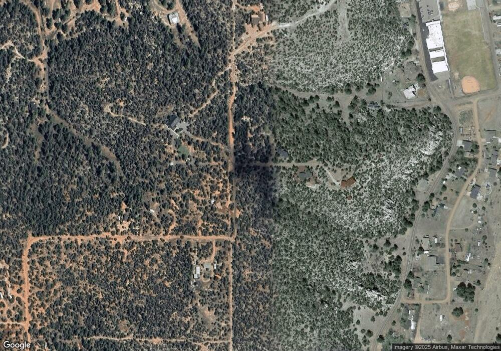
Map
Nearby Homes
- 3368 Buckskin Canyon Rd
- 3346 Bear Heights
- 3346 Bear Heights
- 3332 Bear Heights
- 3332 Bear Heights
- 3336 Bear Heights Rd
- 6103 River Run Dr
- 6103 River Run Dr Unit 396
- 3339 Saw Mill Ridge Loop Unit 97
- 3339 Saw Mill Ridge Loop
- 3337 Saw Mill Ridge Loop
- 1828 Arizona 260
- 1740 Eskimo Ln
- 3307 Black Canyon Rd
- 1864 Little Doe Trail
- 3326 Black Canyon Rd
- 3326 Black Canyon Rd
- 3411 Parkway St
- 1951 Single Tree Way
- 3419 Oak St
- 1807 Blue Sky Cir
- 1800 Blue Sky Cir
- 1806 Blue Sky Cir
- 1798 Eagles Nest Rd
- 1815 Blue Sky Cir
- 3368 Skyline Ln Unit 51A
- 3368 Skyline Ln Unit 51A
- 3368 Skyline Ln
- 1835 Blue Sky Cir
- 1784 Eagles Nest
- 1809 Midnight Sky Rd
- 1806 Midnight Sky Rd
- 1787 Eagles Nest Rd
- 1787 Eagles Nest Rd
- 3356 Buckskin Canyon Rd
- 1757 Memorial Park Rd
- 1787 Memorial Park Rd
- 3366 Buckskin Canyon Rd
- 3351 Buckskin Canyon Rd
- 3347 Buckskin Canyon Rd