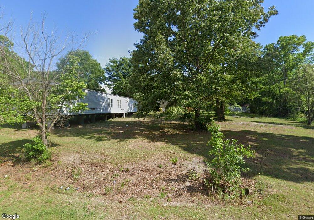
1807 Bronco Rd Darlington, SC 29532
Estimated Value: $25,479 - $220,000
3
Beds
--
Bath
1,824
Sq Ft
$52/Sq Ft
Est. Value
About This Home
This home is located at 1807 Bronco Rd, Darlington, SC 29532 and is currently estimated at $94,870, approximately $52 per square foot. 1807 Bronco Rd is a home located in Darlington County with nearby schools including Pate Elementary School, Brockington Elementary Magnet School, and Darlington Middle School.
Ownership History
Date
Name
Owned For
Owner Type
Purchase Details
Closed on
Nov 5, 2013
Sold by
Willis Roger C
Bought by
Rogers Nan Renee
Current Estimated Value
Purchase Details
Closed on
Jan 26, 2012
Sold by
Bennett Stephen Thomas and Bennett Linda Susan
Bought by
Willis Roger C
Home Financials for this Owner
Home Financials are based on the most recent Mortgage that was taken out on this home.
Original Mortgage
$6,100
Interest Rate
3.89%
Mortgage Type
Future Advance Clause Open End Mortgage
Purchase Details
Closed on
Jun 6, 2008
Sold by
Brandis Michael S and Parrott Pamela I
Bought by
Bennett Linda and Hagadone Donald
Purchase Details
Closed on
Aug 20, 2007
Sold by
Brandis Michael S
Bought by
Parrott Pamela J
Create a Home Valuation Report for This Property
The Home Valuation Report is an in-depth analysis detailing your home's value as well as a comparison with similar homes in the area
Home Values in the Area
Average Home Value in this Area
Purchase History
| Date | Buyer | Sale Price | Title Company |
|---|---|---|---|
| Rogers Nan Renee | $38,000 | -- | |
| Willis Roger C | $10,500 | -- | |
| Bennett Linda | $35,000 | -- | |
| Parrott Pamela J | -- | None Available |
Source: Public Records
Mortgage History
| Date | Status | Borrower | Loan Amount |
|---|---|---|---|
| Previous Owner | Willis Roger C | $6,100 |
Source: Public Records
Tax History Compared to Growth
Tax History
| Year | Tax Paid | Tax Assessment Tax Assessment Total Assessment is a certain percentage of the fair market value that is determined by local assessors to be the total taxable value of land and additions on the property. | Land | Improvement |
|---|---|---|---|---|
| 2024 | $210 | $630 | $0 | $0 |
| 2023 | $105 | $630 | $0 | $0 |
| 2022 | $105 | $630 | $0 | $0 |
| 2021 | $105 | $630 | $0 | $0 |
| 2020 | $190 | $630 | $0 | $0 |
| 2019 | $190 | $630 | $0 | $0 |
| 2018 | $191 | $630 | $630 | $0 |
| 2017 | $183 | $630 | $630 | $0 |
| 2016 | $173 | $630 | $630 | $0 |
| 2014 | $178 | $630 | $630 | $0 |
Source: Public Records
Map
Nearby Homes
- TBD Hwy 151 Hwy
- 1316 Sunset Dr
- 2064 Eastpark
- 2081 Eastpark
- 2224 Hwy 151 Hwy
- 0 High Hill Rd
- 619 Franway Dr
- 2653 Iseman Rd
- 1111 Syracuse St
- 2303 N Governor Williams Hwy
- TBD Lamar Hwy
- 0 Stanley Cir
- 640 Stanley Cir
- 527 Stanley Cir
- 608 Wood Duck Dr
- 265 Syracuse St
- 0 Harry Byrd Hwy
- 1011 Pearl St
- 500 Alexander St
- 5116 Shallowford Rd