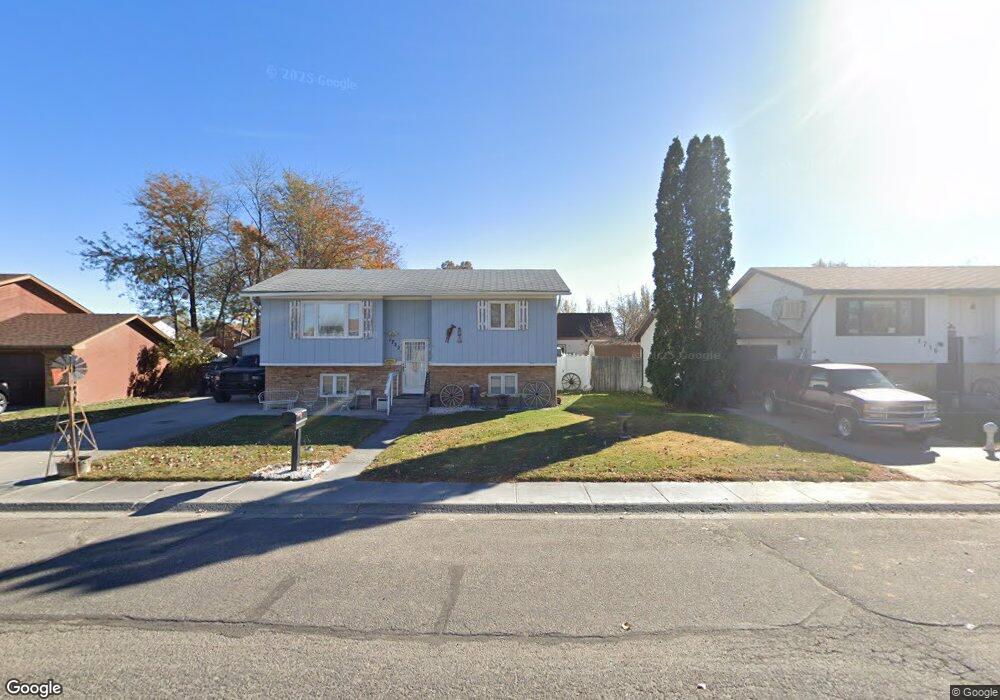
1807 Circle Rd Worland, WY 82401
Estimated Value: $326,000 - $357,962
4
Beds
4
Baths
2,179
Sq Ft
$155/Sq Ft
Est. Value
About This Home
This home is located at 1807 Circle Rd, Worland, WY 82401 and is currently estimated at $336,987, approximately $154 per square foot. 1807 Circle Rd is a home located in Washakie County with nearby schools including East Side Elementary School, South Side Elementary School, and West Side Elementary School.
Create a Home Valuation Report for This Property
The Home Valuation Report is an in-depth analysis detailing your home's value as well as a comparison with similar homes in the area
Home Values in the Area
Average Home Value in this Area
Tax History Compared to Growth
Tax History
| Year | Tax Paid | Tax Assessment Tax Assessment Total Assessment is a certain percentage of the fair market value that is determined by local assessors to be the total taxable value of land and additions on the property. | Land | Improvement |
|---|---|---|---|---|
| 2025 | $1,512 | $19,860 | $1,543 | $18,317 |
| 2024 | $2,946 | $38,687 | $3,064 | $35,623 |
| 2023 | $3,122 | $40,993 | $3,564 | $37,429 |
| 2022 | $2,516 | $33,046 | $3,564 | $29,482 |
| 2021 | $2,331 | $30,617 | $3,564 | $27,053 |
| 2020 | $2,043 | $26,825 | $3,564 | $23,261 |
| 2019 | $2,745 | $36,046 | $3,564 | $32,482 |
| 2018 | $2,007 | $26,359 | $3,564 | $22,795 |
| 2017 | $1,905 | $25,010 | $3,610 | $21,400 |
| 2016 | $1,795 | $23,575 | $3,373 | $20,202 |
| 2015 | -- | $24,557 | $3,373 | $21,184 |
| 2014 | -- | $30,433 | $3,168 | $27,265 |
Source: Public Records
Map
Nearby Homes
- 1542 Cloud Peak Dr
- 1301 Pulliam Ave
- 1221 Pulliam Ave
- 1701 Coburn Ave
- 2007 Harkins Ave
- 1300 Coburn Ave
- 225 S 22nd St
- 1205 Coburn Ave
- 1012 Pulliam Ave
- 1015 Robertson Ave
- 2396 U S 20
- 2386 U S 20
- 2366 U S 20
- 408 S 16th St
- 814 Conant Ave
- 0 U S 16
- 2916 Columbine Ln
- 708 S 16th St
- 107 Country Dr
- TBD S 23rd St